Today, Sunday, April 14th is the last of our regularly scheduled daily forecasts. I will post a general advisory tomorrow with some tips to follow as we segue through the spring and early summer.
Gear up for next season or snag deals to close out this season while supporting the UAC’s efforts. Your participation directly funds the state's avalanche forecasting, awareness, and education programs. Check out the auction found
here!
Nowcast- Clear skies overhead allowed cooler air to filter through the region which helped knock temperatures down overnight. However, it's still rather balmy with most automated weather stations clocking in right around freezing, while a few protected sites register in the low 40's. After a brief break Saturday afternoon, winds blowing from the south ramped up overnight and hum along the ridges in the 30's and 40's. The snow is taking a hit and the window for good riding and turning opportunities is shrinking. South facing slopes offer a crop o' corn, ready for harvesting first thing this morning. If you're on the hunt for coolish pow... it's done until tomorrows storm starts stacking up fresh snow.
Forecast- Look for mostly sunny skies this morning, but an approaching storm system on the doorstep delivers increasing clouds as the day wares on. High temperatures moderate somewhat, only reaching into the mid 40's, but winds blowing to 40 mph from the south are gonna be a nuisance near the high peaks.
Futurecast- Unsettled weather slides into the area overnight, delivering a decent shot of snow to kick off the work week. Snow showers intensify late Monday and I'm thinking 4"-8"... perhaps up to 10" of snow stacks up in a few favored, North Slope locations by about dinnertime Monday evening. Partly cloudy skies and cooler temperatures return for midweek.
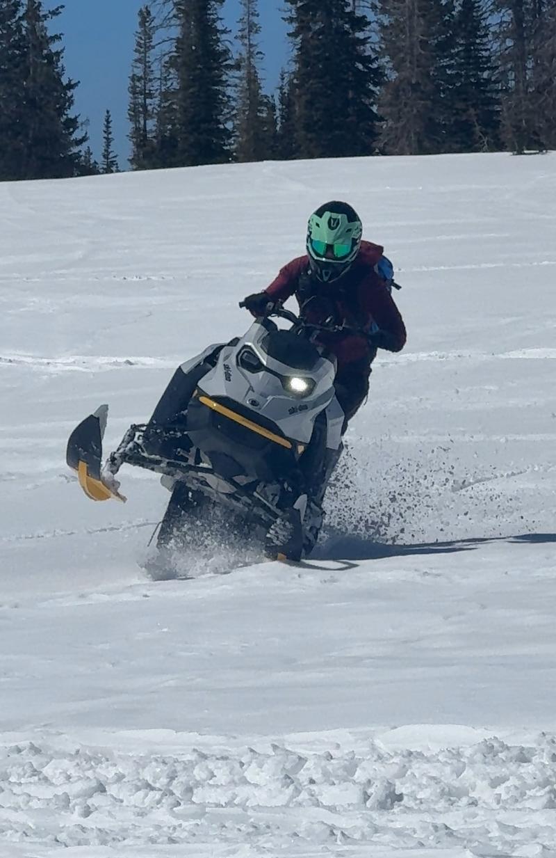
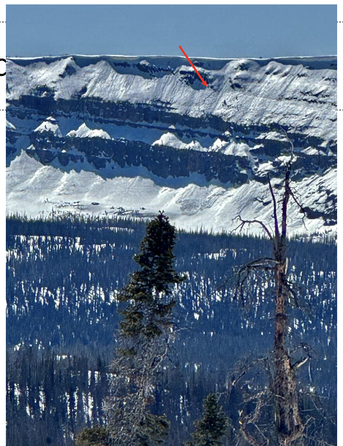
Johanna Kelly is a rippin' sledder, an avy forecaster for Snowbird, but more important... an overall amazing person. Here, she displays her sled prowess near Mirror Lake Highway Thursday afternoon. JK and her partner in life, UAC forecaster extraordinaire, Dave Kelly, shared a field day near Bald Mountain and have a great trip report found
HERE.
A celebrity sighting!!! Ted Scrogggin was in the Gold Hill zone on Friday and says... "There are a few slivers of cold dry snow on north facing slopes, but any subtle change in aspect and the snow quickly turns to either damp or a melt freeze crust."
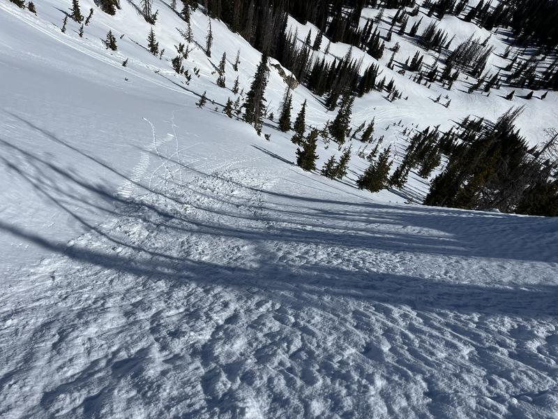
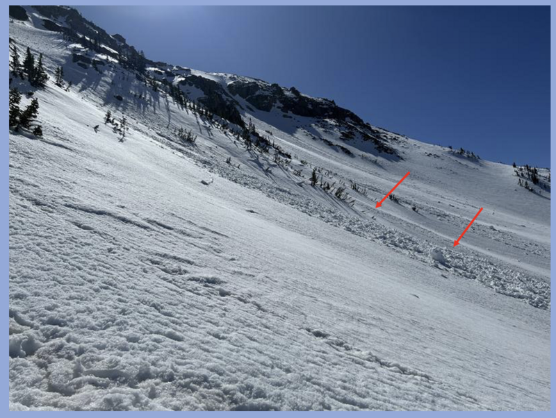
Chad Brackelsberg and Andy Paradis were in the Hayden zone yesterday and noted... "snow below rocky areas also had developed some large pinwheels from warming. One was at least 4' tall." You can find their trip report
HERE. No other significant avalanches have been reported over the last few days. Archived avalanche activity and trip reports are listed
HERE.