Gear up for next season or snag deals to close out this season while supporting the UAC’s efforts. Your participation directly funds the state's avalanche forecasting, awareness, and education programs. Check out the auction found
here!
Sunday, April 14th will be the last of our regularly scheduled daily forecasts
Nowcast- Winds blowing 15-25 mph from the south, began pumping warm air into the Uinta zone late yesterday and continue in that spirit at o'dark thirty this morning. And even though skies are clear, overnight low temperatures barely crack into freezing territory with most areas hovering in the low to mid 30's. Yep... the warm before the storm. Snow and travel conditions are a mixed, yet predictable bag. On mid and lower elevation south facing slopes you'll find a developing crop o' corn, ready for harvesting by mid morning. If you're looking for shallow pow it's a rare commodity, but I think a few swaths still exist on high north facing slopes in the alpine.... getting there is gonna be on the rugged side.
Forecast- High pressure deeply entrenched overhead is beginning to shift east. As it slides towards Colorado we'll experience one of the warmest days of the season. Look for mostly sunny skies with temperatures climbing into the upper 40's and low 50's. Southerly winds ramp into the 40's as the day wares on and they're are gonna be annoying near the ridges.
Futurecast- Clouds drift through the area on Saturday and a weak weather system clips the Uintas Sunday, with a better shot at organized storminess for Monday. Not a particularly big snow maker, but a few inches will go a long way to help to cushion the old, hard, snow surfaces. It looks like it's a short-lived stay and we return to our regularly scheduled spring programming by midweek.
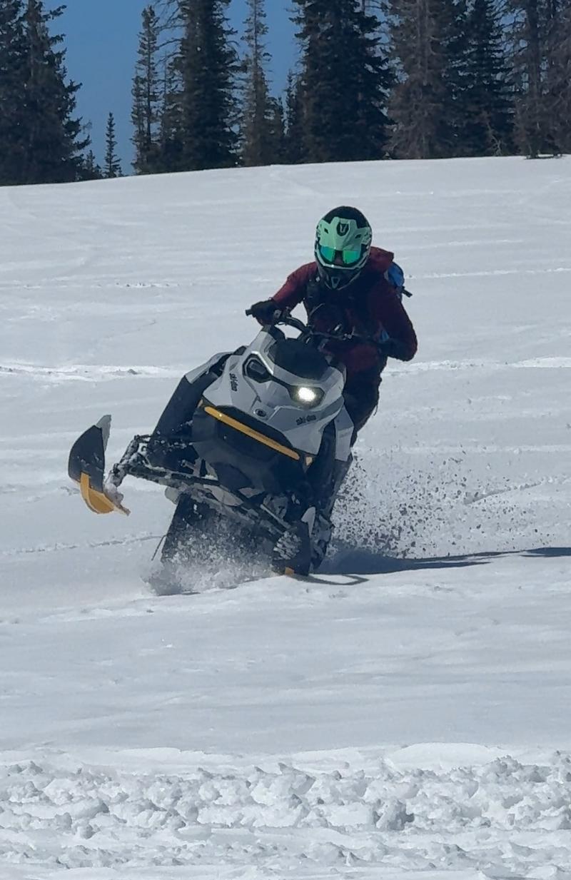
Johanna Kelly is a rippin' sledder, an avy forecaster for Snowbird, but more important... an overall amazing person. Here, she displays her afternoon sled prowess near Mirror Lake Highway yesterday afternoon. JK and her partner in life and UAC forecaster extraordinaire, Dave Kelly, shared a field day near Bald Mountain and have a great trip report found
HERE.
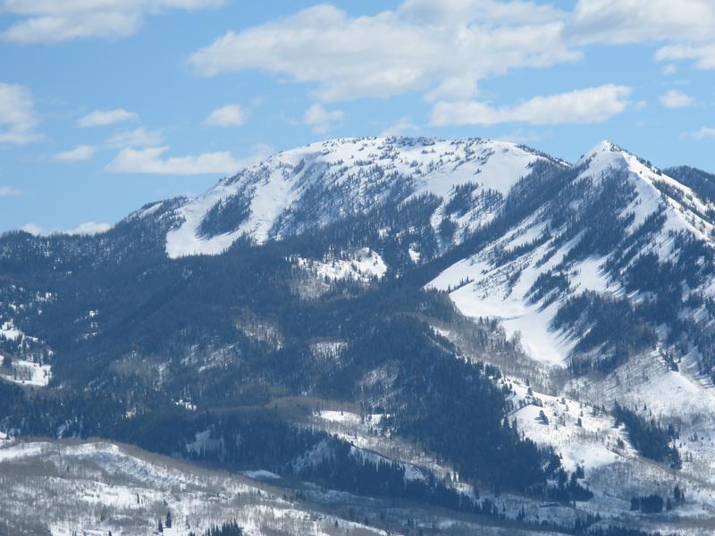
The Moffit Triplets... east, middle, and west, lookin' mighty... whitey :)
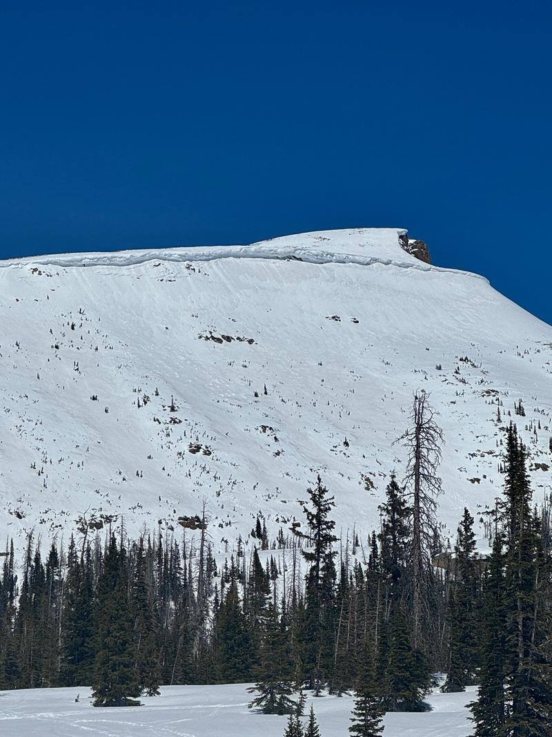
Most likely triggered from damp snow dribbling down from above, Dave and Johanna spotted this recent wet slab in the steep cliffy area of Haystack
No other significant avalanches have been reported over the last few days. Archived avalanche activity and trip reports are listed
HERE.