We'd like to thank our incredible community for your support of the 2022 Spring Campaign. We raised $75,000 in two weeks to help grow our avalanche forecasting program. Thank You!
NOWCAST-
Yesterday it was nice to see a few snowflakes falling but they only accumulated a trace of snow at best. Overnight, temperatures dropped and this morning are in the teens F at upper elevations and low to mid 20s F at trailheads. Winds are blowing from the west at 20-30 mph on the high peaks and only 3-10 mph at lower elevations.
FORECAST-
Skies will be clear and sunny today. Air temperatures should mostly be below freezing but will feel much warmer in the strong April sunshine. Winds should generally be light and blow from the west-northwest.
FUTURECAST-
Some clouds return Sunday with a few disturbances and some snowfall, but the best chance for snow comes Tuesday when 6 inches could fall. Ridging with dry, warm weather takes over later next week.
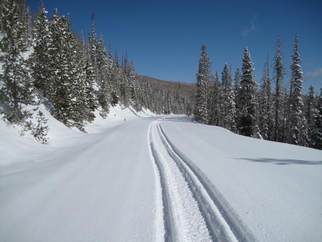
Trip reports and snowpack observations are found
HERE.
Looking for real-time temps, snow, or wind? Click HERE and then on the "western Uinta" tab for western Uinta specific, weather station network.
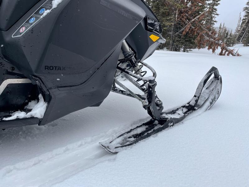
No avalanches have been reported over the last few days.
An archive of recent slides is found
HERE.