Forecast for the Uintas Area Mountains

Craig Gordon
Issued by Craig Gordon for
Saturday, December 23, 2023
Our forecast burst of snow looks like a bust for the eastern front and I don't see the avy danger bumpin' with this meager snowpack thumpin'-
Other than a shallow wind drift or two near the ridges, you'll find generally LOW avalanche danger in the western Uinta's today, where both human triggered and natural avalanches are UNLIKELY on all aspects and all elevations. Remember- low danger isn't no danger and you know the drill... wear and know how the use your avalanche rescue gear, travel with experienced partners, and only expose one person at a time to potential hazard.

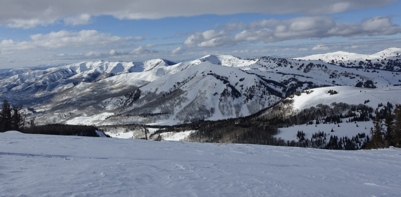
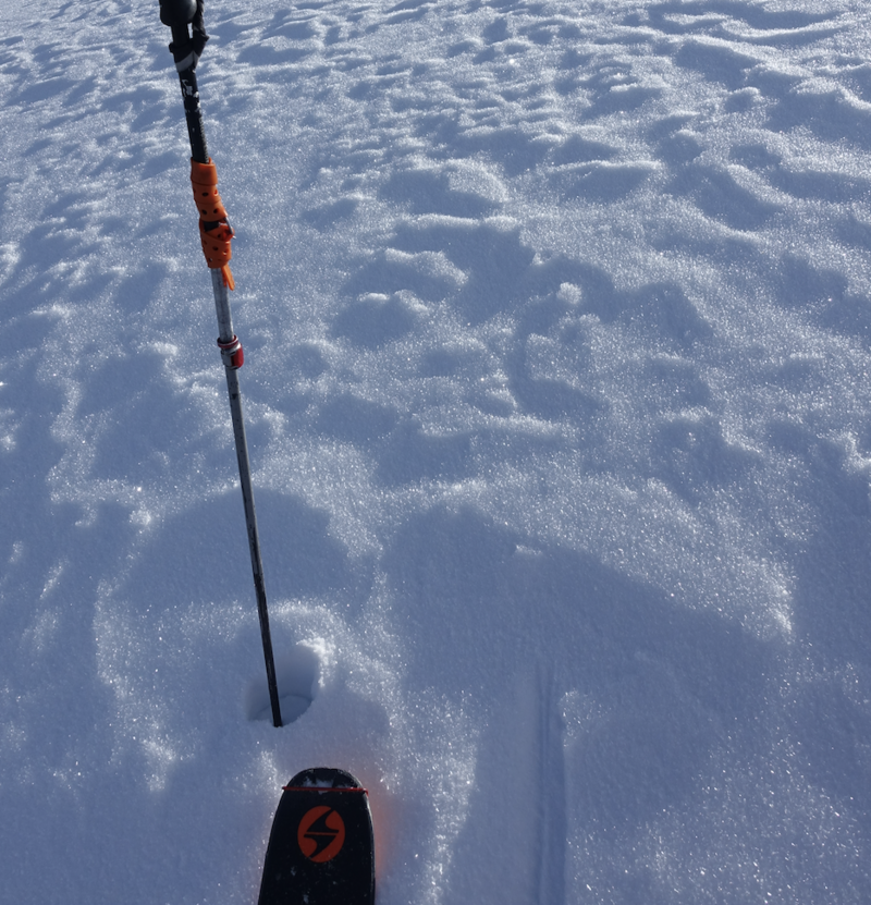
Remember... tread lightly! The pack is white from far, but far from white and there are plenty of hidden treasures barely buried under our thin facade of snow. Getting after it and slamming into an obstacle may result in damage to ourselves, our gear, or even worse... our ego.
Low
Moderate
Considerable
High
Extreme
Learn how to read the forecast here
Weather and Snow
Nowcast- High clouds drape our mountains in advance of a quick blast of snow slated to arrive mid morning. Temperatures start the day shift in the mid 20's and hardly a breath of wind blows from the south, even near the high ridges with hourly averages just 5-15 mph. Riding and turning conditions are a bit of a mixed bag. The snowpack is still rather thin down low and the south half of the compass offers a mixed bag of brush or a crusty surface. But don't let your hearts be troubled... soft, creamy snow is still found on upper elevation, wind sheltered, shady slopes.
Forecast- Shortly after sunrise, winds shift to the west and northwest, spike into the 30's near the peaks, and usher in a short-lived burst of snow which quickly delivers a thin coat of white paint. I'm thinking just a few inches, before snowfall turns scattered and tapers off late this afternoon. Much colder air filters in with the storm, cratering temperatures into the teens late in the day and single digits overnight.
Futurecast- High pressure brings sunny skies for Christmas Eve... day. Expect light winds and much cooler temperatures, barely cracking out of the teens. High and dry through midweek.

Om... thanks to Trevor Katz for providing this beaut of an image looking northwest from Moffit Peak which offers our moment of morning Zen.
Recent Avalanches
It's been quiet on the eastern front with no significant human triggered or natural avalanche activity reported for nearly two weeks.
Trip reports and the latest observations are found HERE.
Ad
Avalanche Problem #1
Normal Caution
Type
Location
Likelihood
Size
Description
An unofficial snow stability test (don't try this at home :) Mark demonstrates his sled prowess and overall snowpack stability.
All the collective feedback from snow-pros around the Uinta region suggest the (persistent weak layer or PWL) about 30 cm off the ground, is easy to identify in our snowpits, but for the moment, this layer is dormant and happy in its own skin. The weekend storm is a non-event and isn't gonna do much to tip the scales, instead it feels like it'll nickel and dime us. But let's not take our eyes of the prize... once winter returns from its hiatus, our structurally challenged snowpack setup doesn't bode well for stability.
What might be a greater concern in the short-term is the diminishing strength of the surface snow created during our recent stretch of high and dry weather. Sure, this surface snow carves nicely and is fun to ride. But today's noisy pow, or in snow-geek-speak... near surface facets, is tomorrow's weak layer which could deliver a tricky setup if today's storm helps blanket and preserve this layer.
Additional Information
I upgraded the Uinta weather station network this summer and all that real-time info is found HERE. Simply click on "western Uinta" tab and then "weather stations" tab.

We are always looking for snow and avalanche observations or just general riding conditions. So... if you see something, say something. You can reach me directly at [email protected] or 801-231-2170.
Also, if you're looking for more avy education opportunities for yourself, your crew, or your club please don't hesitate to reach out to me and we'll find a presentation, class, or clinic for ya!
General Announcements

Issued at 04:30 on Saturday, December 23rd this forecast will be updated by 0700 Sunday, December 24th, 2023.
This forecast is from the U.S.D.A. Forest Service, which is solely responsible for its content. This forecast describes general avalanche conditions and local variations always occur.