Forecast for the Uintas Area Mountains

Craig Gordon
Issued by Craig Gordon for
Friday, January 27, 2023
Winds are the wild card today-
MODERATE avalanche danger is found on steep, upper elevation leeward slopes, especially in the wind zone at and above treeline. Fresh wind drifts reactive to our additional weight are POSSIBLE and may become more widespread as the day progresses and today's storm evolves.
Generally LOW avalanche danger is found on all mid and lower elevation slopes.

Low
Moderate
Considerable
High
Extreme
Learn how to read the forecast here
Weather and Snow
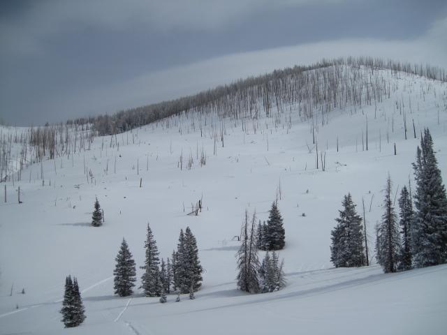
Nowcast- A weak wave of moisture slid through the region late last night, delivering a couple traces of snow and ushering in slightly warmer temperatures which register in the mid teens this morning. Winds switched to the west shortly after dinnertime and blow 15-25 mph near the high peaks. Recent winds worked our big, open alpine terrain, but riding and turning conditions remain solid, especially on wind sheltered slopes where you'll find cold settled pow.
Forecast- A storm churns away to our north and I think we might be left out of the powder party invite. Look for scattered snow showers this morning with a better shot of more organized storminess developing as the day progresses. Westerly winds are the wild card today depending on how the storm evolves. Best case, they blow in the 30's and 40's... worst case, they bump into the 70's later today. Temperatures climb into the mid 20's and dip into the teens overnight.
Futurecast- On again, off again... storminess continues through the weekend and we may stack up 5"-10" of snow by Sunday morning.

Ted was on the east side of the range in the Mill Creek zone yesterday and reports excellent riding conditions and phenomenal coverage. His trip report is found HERE.
Huge thanks for all the great obs streaming in from the eastern front. Detailed trip reports and recent obs are found HERE.
Recent Avalanches
No significant recent avalanche activity to report. However, if ya wanna geek out, click HERE to track this years slide activity throughout the range.
Ad
Avalanche Problem #1
Wind Drifted Snow
Type
Location
Likelihood
Size
Description
Winds have been busy at work for days, blowing from nearly every direction and whipping up shallow drifts sensitive to our additional weight. Found on upper elevation leeward slopes, and cross-loaded in chutes and gullies all over the compass, both old and newly formed drifts might break slightly deeper than you'd expect. But the good news is they're manageable by avoidance... lose a little elevation, you lose the wind, and you lose the problem.

Additional Information
Colossal water numbers and Herculean snowpack depths are helping the pack turn the corner. This strongly aligns with reasoning to pull the plug on our problem child, the Persistent Weak Layer, which has plagued us since late November. I've been taking advantage of a predictable snowpack, stepping into bigger terrain, and enjoying spectacular views... what a treat!
Weather stations-
And... rime events have severely crippled the Uinta weather station network. I'm working to get it back up and running, but a few stations are found HERE (click weather stations, and then on the Western Uinta tab)
Observations-
Your observations are important, so please let me know what you're seeing... click HERE and contribute to this amazing community-based program
General Announcements
Issued at 03:17 on Friday January 27th, this forecast expires 24 hours after the date and time posted, but will be updated by 07:00 Saturday January 28th, 2023.
Before it gets too crazy, now is the time to book an avalanche awareness presentation for your group, club, or posse. You can reach Craig directly at 801-231-2170 or [email protected].

This forecast is from the U.S.D.A. Forest Service, which is solely responsible for its content. This forecast describes general avalanche conditions and local variations always occur.