Forecast for the Skyline Area Mountains

Brett Kobernik
Issued by Brett Kobernik for
Thursday, March 23, 2023
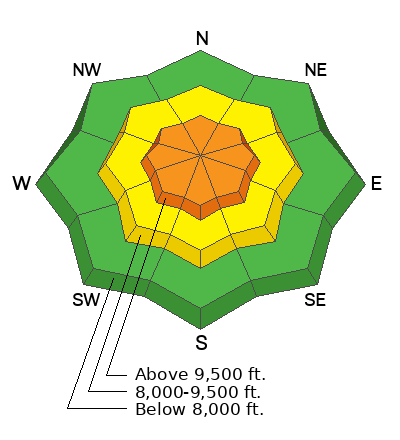
There is a CONSIDERABLE avalanche danger rating in the upper elevation steep terrain.
Heavy snowfall and wind drifted snow has increased the avalanche danger.
Human triggered avalanches are likely in the higher terrain. Let the snow settle for a day or two before getting onto any steep slopes.
Low
Moderate
Considerable
High
Extreme
Learn how to read the forecast here
Weather and Snow
Current Conditions: It's DEEP out there!! We've received 12 to 16 inches of new snow in the last 24 hours. The Fairview Canyon region picked up the most. We've had well over 2' of snow since Sunday. Wind was strong from the southwest on Wednesday. It's slowed a little but is still moderate in speed now. Temperatures have been around 20˚F.

Mountain Weather: We'll have cloudy skies with another round of snow later this afternoon. I'm only anticipating a few inches out of this impulse. Temperatures will get into the mid 20s. Wind will be from the southwest and should slow down. Another system will move through Friday afternoon bringing another 5 to 8 inches of snow. This one looks like another windy one. Things settle down through the weekend but there are more storms on the horizon.
Ad
Avalanche Problem #1
New Snow
Type
Location
Likelihood
Size
Description
With all the new snow and wind you're going to want to back off steeper slopes for a few days. We've had a couple of storms accompanied by stronger wind. I would be surprised if there weren't some natural avalanches that released overnight. Stick to slopes that are 30˚ in steepness or less today.
General Announcements
This forecast is from the U.S.D.A. Forest Service, which is solely responsible for its content. This forecast describes general avalanche conditions and local variations always occur.