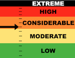
Below is an excerpt from Sunday's forecast which describes where we are with the older buried faceted Persistent Weak Layers. This continues to be a serious concern.
OK, things are slowly changing with the old Persistent Weak Layers. I am finding that they are slowly gaining strength in many areas where the snowpack is becoming deeper. All these storms we've been having are helping to squash and force those old facets to bond and sinter forming stronger layers.
Now, this is not the case in all areas. You will no doubt still find shallow spots where the snow is hollow, sugary and weak. If you trench your sled, you'll see what I mean. You'll find the sugar below.
So, things are starting to turn the corner. (this should've happened back in January!!) However, there are still enough trouble spots out there to cause concern. Here are two examples:
- Areas with an overall shallow snowpack. Places where the snowpack is only in the 4 to 5 foot deep range have the weakest snow. This was demonstrated last week where a snowmobiler found a pocket in a shallow snowpack zone. DETAILS HERE
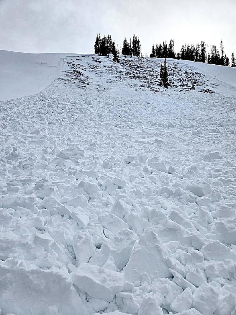
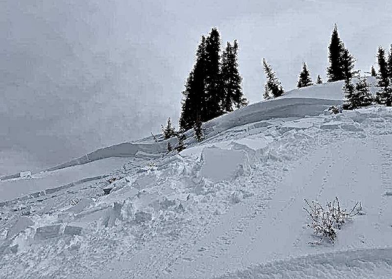
- Slopes that have previously avalanched earlier this season. Since they avalanched and took out snow from early on, they are shallower. Shallow areas = weak areas. I believe this was the case with a snowmobile triggered avalanche on Friday. DETAILS HERE Now here's a big problem. Unless you saw that a slope avalanched earlier this season, it's almost impossible to know for sure if it did or not by looking at it now. Slopes with a deeper snowpack are becoming more stable. Slopes that already avalanched are shallower and hold weaker snow. How can you tell them apart just from looking at them? There's no good way. I continue to hold my cards tight.
ATTENTION EPHRAIM CANYON RIDERS: Take a look at this
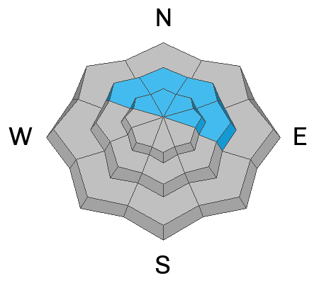
AVALANCHE REPORT HERE and read the additional comments. This slope just west of Scotty's worries me.