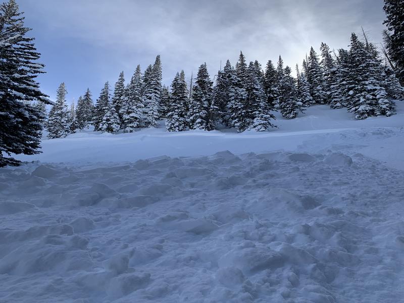
Current Conditions: You'll find cold settled powder on mid and upper elevation northwest, north and northeast facing terrain. Other areas have become damp and you'll find crusts this morning. Temperatures got into the upper 20s to low 30s Friday and dropped to around 20˚F overnight. Wind has been calm to light from the west.
Mountain Weather: We'll see mostly clear skies today with temperatures into the mid 30s or a bit warmer. Wind should remain generally light from the west. Sunday looks similar. Clouds start to build in on Monday ahead of a storm that will move through Monday night into Tuesday. Rough estimates are 7 to 11 inches of new snow by Wednesday.
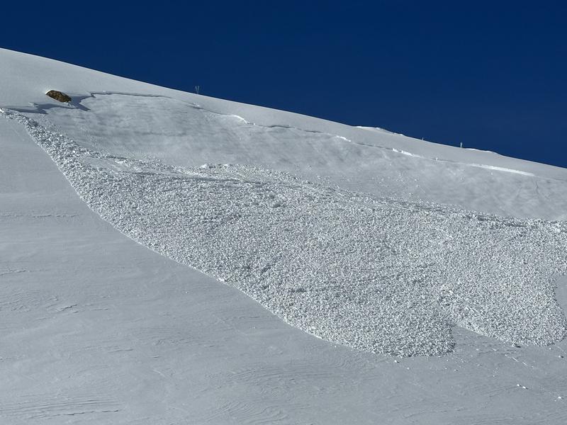
There were three snowmobile triggered avalanches on Friday. No one was caught or injured. What is interesting is that some of these broke farther down off of the exposed ridgelines than I would have expected. Recent human triggered avalanches have released on northwest, north, east and southeast facing slopes between 9000' and 10,600' in elevation. Average depth is 12" and they range from 80' to a couple of hundred feet wide.
Photo below: Snow bike triggered, North Fork Pleasant Creek, Dave King
Photo below: Snowmobile remotely triggered, Potters Canyon, Troy Winter


