Forecast for the Skyline Area Mountains

Brett Kobernik
Issued by Brett Kobernik for
Monday, February 19, 2024
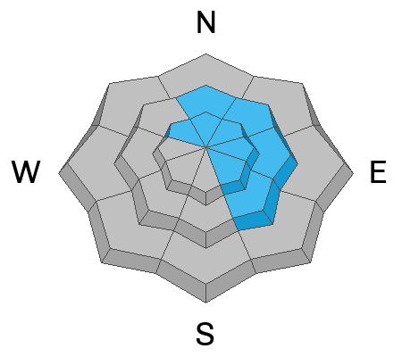
The overall danger rating on the Skyline is rated MODERATE.
Human triggered avalanches are possible today.
The most likely avalanche will be from recently formed wind drifts and slabs of snow. These will be most prominent on high elevation more east facing very steep slopes, especially just below ridgelines.
Low
Moderate
Considerable
High
Extreme
Learn how to read the forecast here
Weather and Snow
Current Conditions: The north end of the Skyline picked up 3 to 5 inches of new snow on Sunday. It appears that the southern end didn't get as much. The wind from the west was actively drifting snow. It has slowed somewhat in the last few hours. Temperatures continue to mostly hover in the mid 20s. Riding conditions remain decent.
Mountain Weather: This morning starts out pretty clear but we'll see clouds moving in as the day goes on. Temperatures will get into the upper 20s to low 30s. Light to moderate speed wind will be from the southwest. A decent looking storm event will move through Tuesday and Wednesday. Rough estimates are 6 to 10 inches of new snow by Thursday.
Ad
Avalanche Problem #1
Wind Drifted Snow
Type
Location
Likelihood
Size
Description
With another round of fresh snow and wind on Sunday, there will be another round of fresh wind drifts and slabs that could be triggered again today. There was at least one report of a snowmobile triggered avalanche in Staker Canyon on Saturday. Details are sketchy but no one was caught. Use caution in the higher steep terrain especially on northeast, east and southeast facing slopes. These avalanches won't be all that large but certainly enough to knock you around.
Also, any location where the snowpack is shallow and has received a fresh wind load of snow could produce an avalanche that breaks into loose sugary snow from December. This seems like a longshot right now but still a possibility.
General Announcements
This forecast is from the U.S.D.A. Forest Service, which is solely responsible for its content. This forecast describes general avalanche conditions and local variations always occur.