
Forecast for the Salt Lake Area Mountains

Issued by Paige Pagnucco on
Thursday morning, June 18, 2026
Thursday morning, June 18, 2026
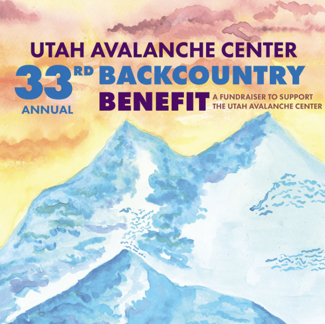
Thank you for a great season. We’ll see you next fall at the 33rd Annual Backcountry Benefit on Thursday, September 10.
Tickets available HERE.
Low
Moderate
Considerable
High
Extreme
Learn how to read the forecast here


