UDOT PLANNED AVALANCHE CLOSURES!!

Forecast for the Salt Lake Area Mountains

Trent Meisenheimer
Issued by Trent Meisenheimer on
Saturday morning, March 29, 2025
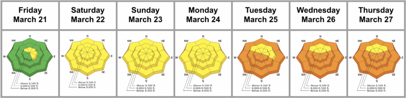
The avalanche danger will remain MODERATE until the wet snow has fully frozen. Wet slab avalanches, cornice falls, and glide avalanches will remain possible today. Specific terrain where glide avalanches can occur should be avoided altogether.
As the storm snow stacks up, the avalanche danger will likely rise to MODERATE for new snow and wind-drifted snow avalanche problems.
Low
Moderate
Considerable
High
Extreme
Learn how to read the forecast here
Special Announcements
Our Spring Campaign is in full swing, and there are two great ways to support forecasting, awareness, and education across Utah: Donate to our Spring Campaign, or Bid on items in our Spring Auction. Every dollar donated helps keep the backcountry community on top.
Weather and Snow
Under partly cloudy skies, the cooler air is finally here and mountain temperatures range from 25 to 32°F. The wind is calm across all upper elevation stations blowing less than 10 mph. Today, we have a small storm that should cross into northern Utah late this morning. The chance for the heaviest snowfall will be during the frontal passage sometime this afternoon. The wind will pick up out of the west-northwest as the storm approaches, blowing 5-15 mph with gusts into the 20s and 30s. All said and done, we could see 2-6 inches of new snow today. The high-end forecast calls for 8 inches of new snow throughout the day.
The meltdown from the past week of strong sunshine and warm temperatures has taken its toll on the mountains. Today, the snow surface will be frozen, and I imagine the riding conditions are pretty horrendous until we see a few inches of new snow.
Recent Avalanches
Yesterday, Mark White and the UDOT posted some nice photos of recent Glide Avalanches in Broads Fork and Stairs Gulch. Otherwise, it was a pretty quiet day in the backcountry. You can find all observations HERE.
Ad
Avalanche Problem #1
New Snow
Type
Location
Likelihood
Size
Description
This problem will depend on the snowfall today. Anytime it snows, we should be thinking of the following problems:
  • New snow sluffing: (Loose-Dry avalanches). These avalanches can run fast and far on old slick surfaces.
  • New snow soft slabs: This problem forms when the new snow's density changes within the new snow or when the new snow doesn't bond well to the old snow surface.
  • Wind-drifted snow: If the wind picks up, we should expect shallow soft slabs of wind-drifted snow across the upper elevations.
Trend: Increasing Danger
Avalanche Problem #2
Wet Snow
Type
Location
Likelihood
Size
Description
Drew Hardesty classically once said, "The glue is yet to dry." Wet snow avalanches will remain possible today as the snowpack cools. I am not worried about wet-loose avalanches as the snow surface is likely frozen this morning. However, if you dig down just a couple of inches into the snowpack, you will see the snowpack is still wet and gooey and hasn't realized the colder temperatures just yet. The potential for wet slab, cornice fall, and glide avalanches will continue to be a problem today until the snowpack freezes solid.
  • Wet slab avalanches - happen where meltwater may "pool" and weaken the snow at various crust interfaces.
  • Cornices may collapse naturally, possibly triggering an avalanche on the slope below.
  • Glide avalanches remain a concern in Stairs Gulch, Broads Fork, Mill B South of Big Cottonwood, and the Raymond Slabs in upper Porter Fork in Millcreek Canyon and this terrain should be avoided.
Trend: Decreasing Danger
Additional Information
Wondering what the warm temperatures have meant for avalanches and the snowpack this past week? Check out Nikki's Week in Review for details.
General Announcements
This information does not apply to developed ski areas or highways where avalanche control is normally done. This forecast is from the U.S.D.A. Forest Service, which is solely responsible for its content. This forecast describes general avalanche conditions and local variations always occur.