Forecast for the Salt Lake Area Mountains

Greg Gagne
Issued by Greg Gagne for
Friday, March 27, 2020
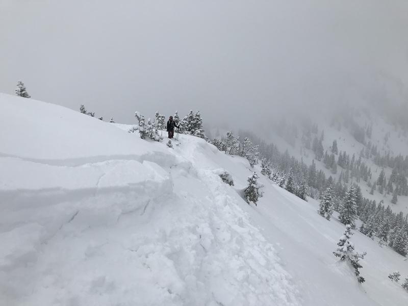
The avalanche danger is MODERATE at the upper elevations where avalanches involving new snow are possible. These avalanches may be triggered remotely, break down 1-2' deep, and over 100' wide. The avalanche danger is Low at the low and mid-elevations. The safest option is to travel on slopes less steep than 30 degrees.

The wildcard for today is the effect from the sun. If skies remain clear, the danger may rise to MODERATE where you can expect wet avalanche activity on any slope facing east, south, and west.

Conditions can change very quickly this time of year, so be prepared to adjust your plans accordingly.
Low
Moderate
Considerable
High
Extreme
Learn how to read the forecast here
Special Announcements
UAC operating schedule - We will continue issuing regular avalanche forecasts into mid-April.
Spring Awareness Campaign - The UAC counts on donations from the backcountry community. We know these are uncertain times, and any donation during our awareness campaign will help us continue providing avalanche forecasting and education.
CDC Guidelines - Even in the backcountry and in parking lots, please follow CDC guidelines like limiting group size and keeping a distance of at least 6 feet from other people to protect yourself and others. Don't carpool with anyone outside of your household. Read the guidelines HERE.
Taking risks - Be extra conservative to avoid the risk of accidents, which can stress the capacity of our medical system.
Skiing and riding at closed ski resorts - Some resorts allow access now, and some do not. Please check HERE for the latest info on ski area access.
New to the backcountry (including riding at closed resorts) - Watch the award-winning, 15 minute Know Before You Go video, or take the 5-part, free online-learning series.
Weather and Snow
Snow: Storm totals since Wednesday are 16-26" of snow containing 1-2" of water, with upper Little Cottonwood receiving the highest totals.
This morning temperatures are in the single digits and winds are very light, less than 10 mph, with gusts into the low teens at 11,000'. Skies are partly cloudy.
For today, expect partly cloudy skies with temperatures rising into the low to mid 20's F. Winds should remain light, less than 10 mph, with occasional gusts into the low teens mph. Hit-or-miss snow showers are expected to commence early this afternoon, with perhaps 1-2" of additional snowfall.
Recent Avalanches
Thursday was a very active day, with 11 human-triggered avalanches reported to the UAC. These slides were 1-2' deep, 50-250' wide, above 9500' in elevation, on aspects facing east through north and west. Some slides were remotely-triggered, that is, from a distance. Fortunately, no injuries were reported. These reported avalanches can be found HERE.
Thanks to all for the excellent observations from Thursday. In addition to the 11 human-triggered avalanches reported, 12 additional observations were submitted to the UAC. Further evidence of why our community is the envy of avalanche forecast centers around the world! All observations can be found HERE.
Ad
Avalanche Problem #1
New Snow
Type
Location
Likelihood
Size
Description
Ordinarily, storm snow instabilities settle out quickly, and I am expecting today to be less reactive than Thursday. HOWEVER, most of the reported activity from Thursday involved failures at the new snow/old snow interface, failing on various weak layers including graupel, facets, and preserved low-density snow. Additionally, a few of the avalanches were triggered remotely, indicating these weak layers may continue to be sensitive. The areas that are especially suspect are on slopes above 9500' on aspects facing west, through north, and east. Any slope with a denser slab due to wind-loading will be especially vulnerable to avalanching.
The simplest and safest solution is to ride slopes less than 30 degrees in steepness.
Additional Information
The wildcard for today is the effect from the sun. Cold temperatures *should* keep the snow surface cool, and clouds are expected to build by later in the morning, with snow showers likely by early afternoon. But if the skies remain clear, you can expect wet avalanche activity on any slope facing east, south, and west. Conditions can change very quickly this time of year, so be prepared to adjust your plans accordingly.
General Announcements
This information does not apply to developed ski areas or highways where avalanche control is normally done. This forecast is from the U.S.D.A. Forest Service, which is solely responsible for its content. This forecast describes general avalanche conditions and local variations always occur.