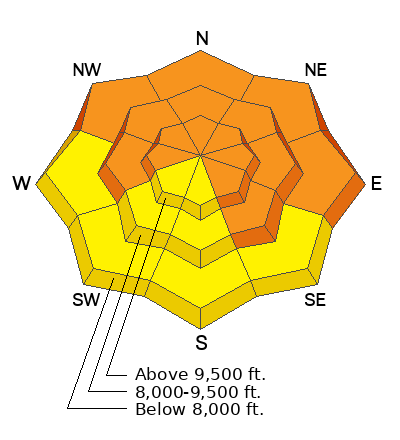
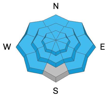
Recent storms delivered unprecedented avy conditions and Extreme danger for the mountains of Northern Utah. Wondering how we got there and where we're going? Well then... you came to the right place!
Please join Craig Gordon this Thursday, January 25th from 6:00-7:30 for a State of the Snowpack presentation at Alpha Coffee's Big Cottonwood Canyon location- 7260 Racquet Club Dr, Cottonwood Heights, UT 84121
Skies are partly cloudy up high with a low cloud deck down low. Some areas are reporting some light drizzle.
Winds are light from the south; temperatures are in the 20s.
For today, we'll have some patches of blue and partly cloudy skies here, mostly cloudy skies there. Winds will be light from the southwest; temps will be in the mid to upper 20s.
The Outlook: Purgatory - a few weak weather systems move through from the west this week. We may see a lost snowflake or two tonight through mid week with perhaps a few more organized inches of snow on Thursday. My 'half-full" perspective is that we won't see much wind or sun to damage the snow surfaces (more than what the light rain did to 7000' or so the last couple of days).
In the mid and upper elevations, riding conditions are - thanks to the recent couple inches of high density snow - fast and buttery with excellent coverage. The upper Cottonwoods boast over 100" of snow on the ground up high; the PC ridgeline has a good 50-70" on the ground.
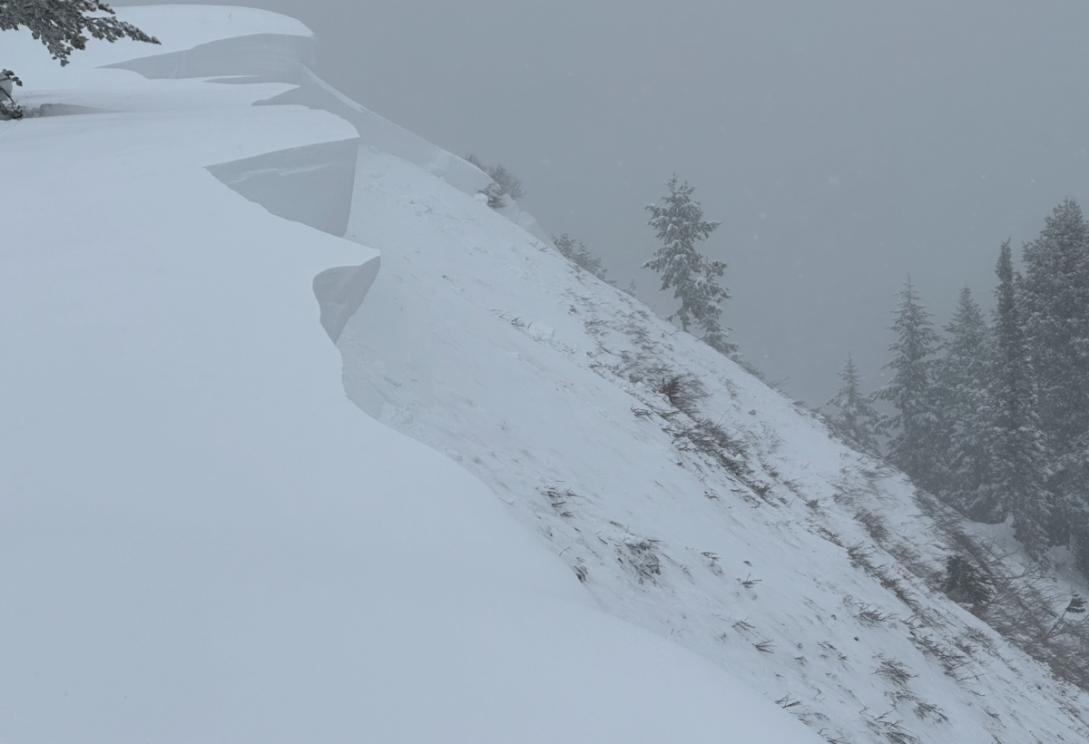
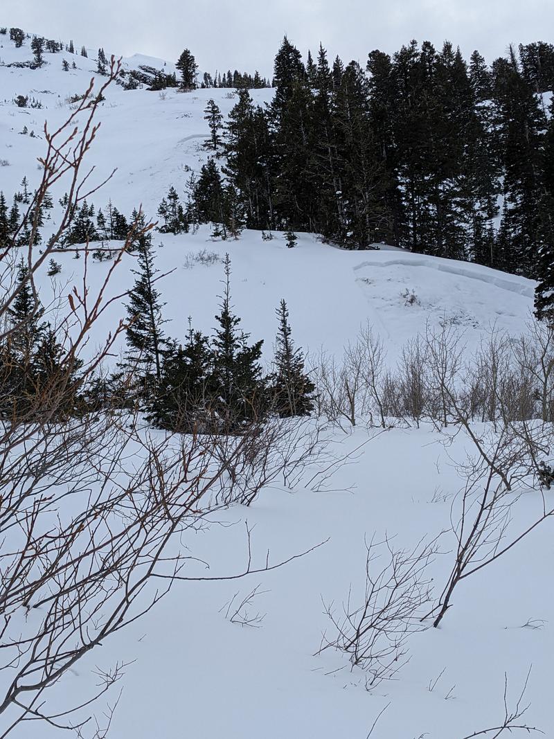
There were no reported avalanches in the central Wasatch backcountry yesterday, but in the upper American Fork drainage above Forest Lake, a ski party remotely triggered a cornice fall which in turn triggered a monster avalanche to the ground. The hard slab avalanche failed on a persistent weak layer of early season depth hoar 4-6' deep (width unknown) on a steep northeast facing slope at 9200'. In a heavily wind loaded part of the crown-face, the depth was estimated at 15' deep. (Unsure of terrain? Check the
WBSkiing map and search for
Peak 9851' near Terraces, just west of Mill Canyon Peak.)
Ski areas noted shallow soft slabs of wind drifted snow in the upper elevations.
Be sure to check all the avalanche activity
HERE. 
