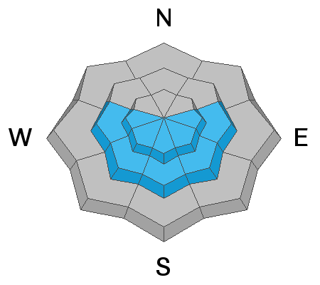
Skies are mostly cloudy becoming overcast.
Temperatures are in the mid to upper 20s and warming.
Winds picked up out of the south/southeast overnight and are blowing 20-30mph with gusts to 35.
A weak wave moves through tonight that may offer a meager - if not high density - trace to two inches with another storm Tuesday into Wednesday that looks more promising (~5-10").
Today we'll be warm, windy, and overcast. Mountain temps will rise to the mid-30s or more with veering southwest winds averaging 25-30mph by late afternoon.
Snow surface conditions: soft settled powder on the northerly aspects...melt-freeze crusts on the east>south>west parts of the compass.
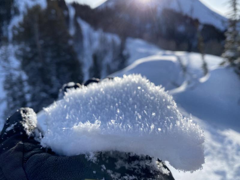
Feathers of 2-4mm surface hoar, formed over the weekend, were commonplace yesterday, but now will be destroyed by the wind, sitting intact in sheltered terrain, or sitting beneath shallow new wind drifts...just waiting for a trigger.
Surface hoar noted on nearly all aspects and elevations yesterday (Calder)
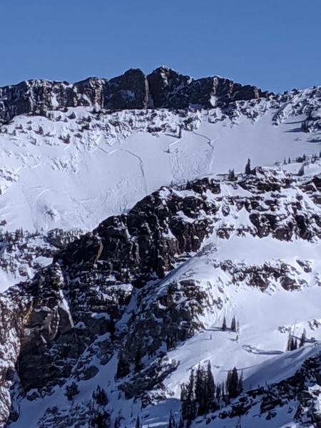
The third of a party of three, while traversing high along the Mill B South and Mineral Fork ridgeline, triggered and was briefly caught and carried in an estimated 12-18" deep and 100' wide soft slab avalanche. The initial avalanche in turn sympathetically triggered a similar one, estimated to be 400' wide...and perhaps another one or more along the ridgeline heading north. These avalanches are on steep west to southwest facing slopes at 10,200'.
The failure plane most likely involves a facet/crust combination formed Wednesday/Thursday during the quick window of high pressure and survived the punishing pre-frontal southwest winds. (Photo 1, 2 - Sheehan)
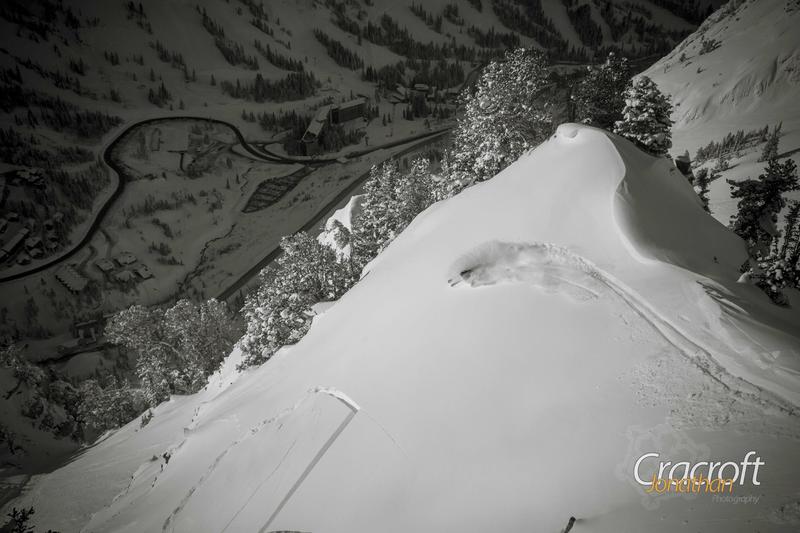
In Banana Days of Big Cottonwood, a skier was reportedly chased down the steep, confined slope by cornice fall but was a non-event.
On a lower east facing slope on Grandview Peak in upper City Creek, a snowmobiler triggered a small soft slab avalanche.
Last but not least, direct sun and warming led to a number of wet loose sluffs on the steep sunny aspects. Some debris piles were big enough to bury a person


