Forecast for the Provo Area Mountains

Nikki Champion
Issued by Nikki Champion for
Monday, April 1, 2024
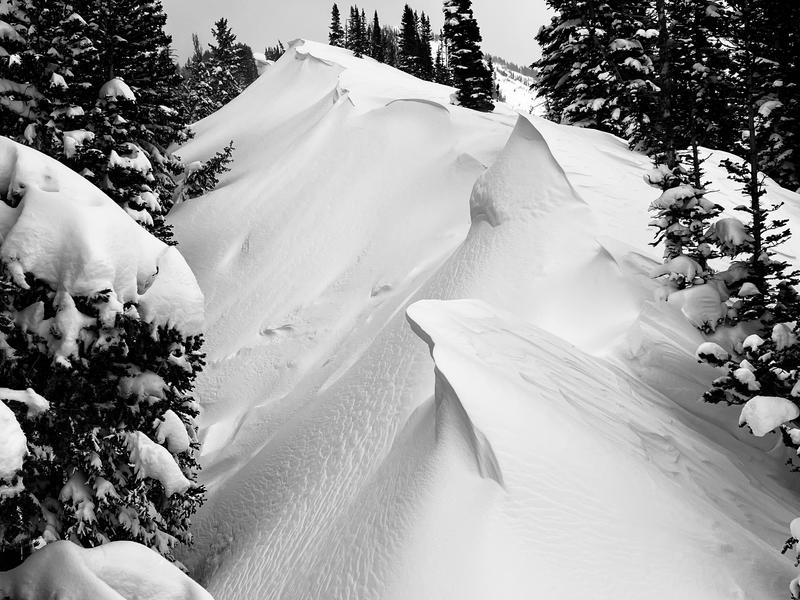
Today, the avalanche danger is MODERATE in the mid and upper-elevation terrain, where humans are likely to trigger wind-drifted snow avalanches. The low-elevation slopes that received generally less wind and snow have a LOW danger.
Use careful snowpack evaluation and cautious route-finding when you are near or approaching exposed ridgetops or areas where strong winds have transported new snow. If the sun comes out at any point during the day, the snow surface will rapidly heat up, and we could begin seeing small wet-loose avalanches on solar aspects.
Low
Moderate
Considerable
High
Extreme
Learn how to read the forecast here
Special Announcements
Support the UAC website backend platform to ensure the ongoing security of the website and the data stored on the site rebuild by donating to our spring campaign.
Weather and Snow
Currently, says are overcast and it has stopped snowing. Since yesterday evening, we have received trace to 1 inch of snow, bringing the most recent storm totals to between 5 and 10 inches. Trailhead temperatures are in the low 30s °F, while the highest peaks are in the low 20s °F. Winds at the mid-elevations ridgelines have begun shifting more northwesterly and are blowing in the single digits, gusting near 20 MPH at the highest ridgelines.
Today, skies will be mostly overcast with occasional snow showers. Temperatures should climb into the upper 30s °F, with winds blowing from the north at 0-10 MPH, gusting to 15 MPH at the lower ridgelines. At the highest ridgelines, winds will blow 5-15 MPH, gusting to 25 MPH. Expect trace to 2 inches of snow by 5 PM this evening. Showers will wind down later tonight as well.
Outlook: Drier and warmer conditions will persist through midweek, followed by a strengthening southerly flow ahead of the approaching storm system expected to arrive on Friday.
Recent Avalanches
Yesterday, there were no new avalanches reported from the Provo backcountry.
From the Central Cottonwoods, Ski resorts reported large cornice falls, multiple D2 avalanches primarily composed of wind slab and new snow with good propagation, and smaller D0.5 to D1 widespread fresh storm and wind slabs in high-elevation terrain. Additionally, slow-moving D1 wet-loose avalanches were noted below 8,000 feet.
Example of the type of fast-running soft slabs spotted around the Wasatch yesterday. East Couloir - Kessler - SD

Check out all avalanches and observations HERE.
Ad
Avalanche Problem #1
Wind Drifted Snow
Type
Location
Likelihood
Size
Description
Greg mentioned yesterday in his observation, "Wind-drifting was the player," and that remains true today as well. Strong winds over the past 24 hours have created sensitive soft slabs of wind-drifted snow at the mid and upper elevations. Today, wind-drifted snow avalanches will be stiffer than earlier in the storm and may start to break above you.
While this issue will be of highest concern at the upper elevations, exposed ridge-tops below 9,500 feet may still have areas of wind-drifted snow. The drifted snow will be most prevalent on aspects facing northwest, through north, to east, and south, due to the elevated southwest winds over the past few days. However, between the days of high winds and the shift in wind direction this morning, this problem can be found on all aspects at mid and upper elevations for the time being. Avalanches involving wind-drifted snow may reach depths of over 2 feet and widths of up to 150 feet.
While the new snow should begin to rapidly settle out, storm totals still remain high and temperatures remain low this morning. For that reason, triggering an avalanche involving sluffing or soft slabs of new snow could still be possible on all steep slopes outside of the wind zone.

Sensitive cornices can be found along many exposed ridgelines at the mid and upper elevations. Avoid traveling on or below corniced ridgelines, as a cornice collapse could trigger a new or wind-drifted snow avalanche.
Corniced Ridgeline - East Bowl - Silverfork - G. Gagne
Avalanche Problem #2
Wet Snow
Type
Location
Likelihood
Size
Description
Now that we are into April, if any sun comes out at all, expect to see rapid heating of the snow surface and new dry loose avalanches quickly turning to wet loose avalanches. The best way to avoid this problem is to be off of sunny slopes before they start to take too much heat. Roller balls, dripping water off of rocks, and your boots or skis sinking into the surface snow are signs it's time to move to higher elevation or colder (more northerly) terrain.
Additional Information
In 2004, local avalanche researcher Ian McCammon wrote a pivotal paper discussing the Human Factors or how we contribute to the avalanche triangle. These FACETS are worth thinking about all the time, but I find them especially relevant as we head into springtime. Read the full article HERE.
Illustration: Mike Clelland
General Announcements
This information does not apply to developed ski areas or highways where avalanche control is normally done. This forecast is from the U.S.D.A. Forest Service, which is solely responsible for its content. This forecast describes general avalanche conditions and local variations always occur.