Forecast for the Provo Area Mountains

Drew Hardesty
Issued by Drew Hardesty for
Sunday, March 20, 2022
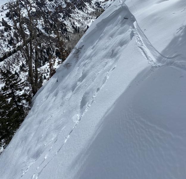
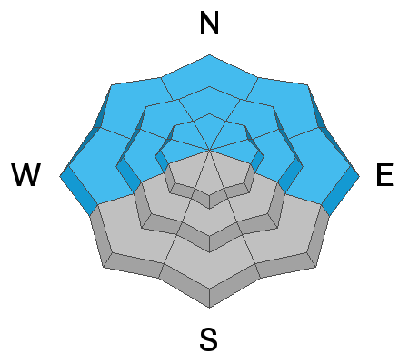
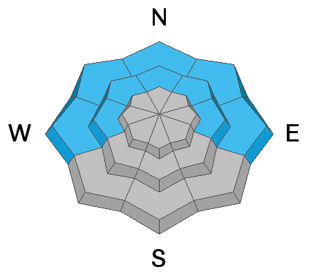
A 'scary' MODERATE danger exists on steep west to north to east facing aspects of all elevations. You can trigger 1-3' deep avalanches and you can trigger from a distance or from below. The danger is more pronounced on north to northeast facing slopes in the mid-elevation bands. Collapsing and cracking may not be noted. Know that wind drifts exist to the lee of terrain features in the upper elevations.

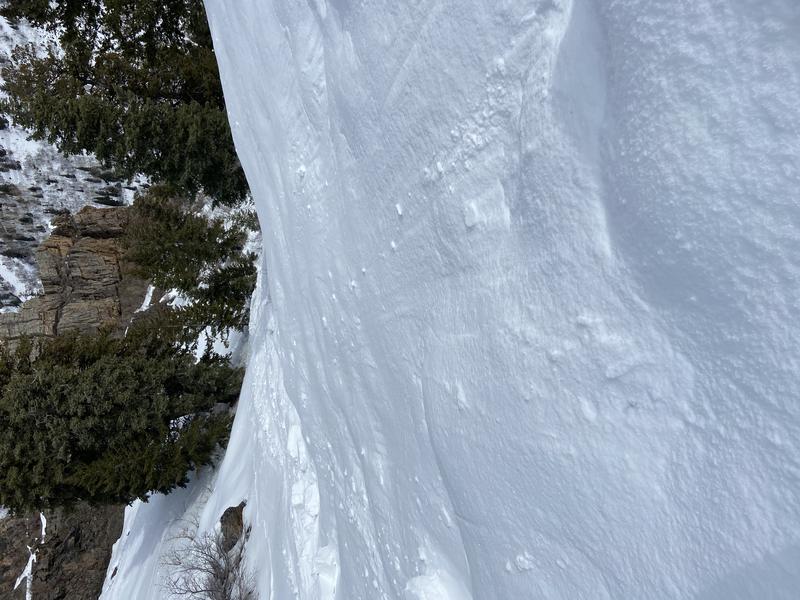
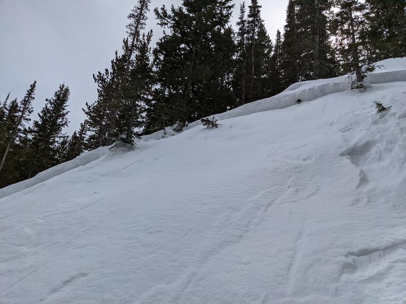
I don't expect today's new snow to pose much of a danger; but you need to pay attention to rapidly changing conditions. IF we get more snow and wind than expected AND/OR we see heavy snowfall, shallow new snow avalanches can be expected in the steeper terrain of all aspects.
Low
Moderate
Considerable
High
Extreme
Learn how to read the forecast here
Special Announcements
A new piece called " A Reckoning " talks about the recent string of human-triggered avalanches. If you missed the essay Deus Ex Machina, published just at the onset of close calls and accidents, you'll find it HERE>

Please help support avalanche forecasting throughout Utah. Donate to the Spring Campaign to help raise the funds to support the forecasting you rely on.
Weather and Snow
spring's cherry blossoms
welcome snow, a splitting storm
winter has life yet

Happy 1st Day of Spring.
Skies are overcast. Winds are 15-20mph from the south. Temperatures remain mild ahead of the cold front with temps in the upper 20s to mid-30s.
The front should arrive mid-morning with a good burst of snowfall. We may see 2-4" by evening.
Temperatures will rapidly fall to the low teens post-frontal; winds will veer northwesterly, be gusty during frontal passage, but then blow 15-20mph along the higher ridgelines.
We stay under a cool northwest flow for early week with a ridge building for mid-late week. Mountain temperatures rise again to well above freezing by Thursday.
Something of interest for next weekend; we'll see.

Travel is easy with excellent coverage, particularly in the southern part of the range. Base depths are 80-90" in the south fork of Provo canyon and 40-60" in the north fork. Snow surfaces are a mix of sun crust, wind crust, and soft settled powder.
Recent Avalanches
A new possibly natural wind slab was noted on Mahogany Mountain on the west rampart of Timp yesterday. It was reported as up to 2' deep and 60' wide on a steep northeast facing aspect at 8700'. It possibly failed on a layer of faceted snow from the Jan/Feb drought. Beyond that, we haven't heard of activity in Provo for a few days. The central wasatch still had other activity, outlined below.
First off - thanks to all of you for your reports and observations: they help paint the most accurate picture of what's going on in the backcountry.

  • A skier remotely triggered an 18" deep and 30' wide pocket on a steep northeast facing slope at 8200' in the Eeny-Meenies of Mill B South.
  • A snowboarder triggered, and was caught and briefly carried in an 18" deep and 80' wide avalanche in Cardiff Fork of BCC. Northeast facing at 9000'. Exact location is unknown at this time, but it looked to be a small opening in an otherwise forested area.
  • We did get a second hand report of a "recent" skier triggered avalanche on the northern flank of Mt Aire. Estimated elevation is 7800'.
Saturday's three avalanches continue to fit the pattern: tricky and "unmanageable" soft slab avalanches failing on the Jan/Feb drought PWL layer of weak sugary facets...and more prominently noted in north to northeast facing mid-elevation protected terrain.
crown of avalanche in Mill B South 18" deep 30' wide. small, but big enough to carry you into trees below

crown of avalanche in Cardiff Fork, 18" deep and 80' wide
"Was caught, slid 20 feet but managed to get a hold of a branch and hang on. The slide ran for approximately 200 ft through the timber.
Takeaways: Any momentary lapse in judgement is unacceptable. Just because I enjoyed skiing similar aspect and slope angle 1500 vert higher doesn't mean I should lower my guard. Lastly, just because I made a small ski cut where I thought it would go and didn't get any signs of instability, doesn't mean it won't slide two turns down."
Find all the observations HERE.

Greg Gagne's Week in Review is published and can be found HERE.
Ad
Avalanche Problem #1
Persistent Weak Layer
Type
Location
Likelihood
Size
Description
Human triggered avalanches 1-3' deep remain possible on steep west to north to east facing slopes of all elevations. You will probably trigger them from a distance.
The sweet spot for triggering these seems more likely in the wind and sun protected north to northeast facing terrain of the mid-elevations. Many of the people triggering these slides have remarked that "the terrain looked so benign", or "it was just a small opening in the trees". Understandable yet slope angle is slope angle, even if it's a benign looking slope. And trees are not necessarily anchoring the slope per se; they are more likely to cause trauma.
People have triggered these soft slab avalanches failing on our Jan/Feb drought layer facets nearly every day for a month. The TAKE-HOME is that a great deal of uncertainty* exists with this tricky and dangerous snowpack. Many professionals and many very experienced backcountry skiers and riders have been surprised or had close calls in the past week and a half.
Let that sit in for a moment.
We estimate the danger by looking at the likelihood, size, spatial distribution, and character, if you will, of the avalanche. For all intents and purposes, the size and locations haven't changed. What has changed is that these avalanches are more stubborn and less sensitive and - lacking immediate signs of instability (ie-cracking/collapsing) - will want to lure you out onto the steep terrain. Don't fall for it.

*Uncertainty. High uncertainty requires a wide margin for error.
  • Know that you don't know. You won't know exactly when and where you will trigger the avalanche, but you will probably trigger it from a distance. These types of avalanches are Unmanageable.
  • If you choose to ride suspect terrain, choose terrain that won't kill you if the snowpack disagrees with your assessment of it. Bashed through the trees, over a cliff and buried deeply in a gulley? No good.
  • Be cognizant of runout zones. How far will the avalanche run if you trigger it from below? Do you know how to estimate runouts?
TRAVEL ADVICE - CHOOSE LOWER ANGLE SLOPES WITH NO OVERHEAD HAZARD.
Avalanche Problem #2
Wind Drifted Snow
Type
Location
Likelihood
Size
Description
Watch for snow transport and fresh, potentially sensitive drifts in steep terrain. Wind drifts are more likely to be found on steep northerly to easterly facing aspects in the upper elevations.
Avalanche Problem #3
Wet Snow
Type
Location
Likelihood
Size
Description
I just don't like the overcast skies, very warm overnight "lows" and potential for precipitation to start as rain. Wet unsupportable isothermal snow may pose a real hazard, especially above terrain traps.
General Announcements
Who's up for some free avalanche training? Get a refresher, become better prepared for an upcoming avalanche class, or just boost your skills. Go to https://learn.kbyg.org/ and scroll down to Step 2 for a series of interactive online avalanche courses produced by the UAC.
This information does not apply to developed ski areas or highways where avalanche control is normally done. This forecast is from the U.S.D.A. Forest Service, which is solely responsible for its content. This forecast describes general avalanche conditions and local variations always occur.