Forecast for the Provo Area Mountains

Nikki Champion
Issued by Nikki Champion for
Saturday, February 3, 2024
The avalanche danger is MODERATE at the mid and upper elevations, where soft slabs of new snow or wind-drifted snow may be sensitive. Watch for signs of cracking as an indication of instability.
There is also a possibility of triggering a large and dangerous avalanche, particularly on steep mid and upper-elevation slopes facing west through north and southeast, due to a buried persistent weak layer. If one of these avalanches is triggered, it will break 3-6 feet deep and well over a hundred feet wide.
There is a LOW danger at low elevations.
Low
Moderate
Considerable
High
Extreme
Learn how to read the forecast here
Weather and Snow
This morning, light snow is falling in the mountains, and temperatures range from the upper teens to mid 20s F. Winds have shifted from the south to the west-northwest, reaching gusts into the 20s mph at mid-elevations and nearly 50 mph at the uppermost elevations. Snowfall persisted overnight, adding T-2 inches as of 5 AM. This brings the current storm totals to 2-6 inches of snow.
Today, an upper trough will persist over the area before lifting away in the afternoon. Anticipate light snowfall throughout the morning, gradually diminishing by midday. Temperatures will reach the upper 20s and low 30s F. Winds from the west-northwest will persist, remaining moderate with gusts reaching into the upper 30s mph at the higher elevations. There is a possibility of an additional 1.5 inches of snow before this afternoon.
The upcoming slow-moving storm will impact the region from Sunday evening. A mild southerly to southwesterly flow will persist from Monday into Tuesday, bringing the heaviest precipitation. Expect 12-24 inches of snowfall and 2.25-2.75 inches of water accumulation. Colder air arrives on Wednesday with the upper trough passage.
Recent Avalanches
No avalanches were reported from the Provo area backcountry yesterday, but to the North, in the Salt Lake Zone, three large avalanches failing in the PWL over the past week should stay in your mind:
Sunday - Skier-triggered avalanche in Davis Gulch on Gobblers Knob
Monday - Natural avalanche in Mineral Fork
Tuesday - Skier-triggered avalanche in Days Fork - Explore this recent podcast episode where the skier shares his experience from Days Fork, providing valuable and personal insights.
These avalanches were all 3-6' deep, well over a hundred feet wide, and running up to 2,000'. The two skier-triggered avalanches were close calls, and luck is not a good strategy when dealing with a PWL.
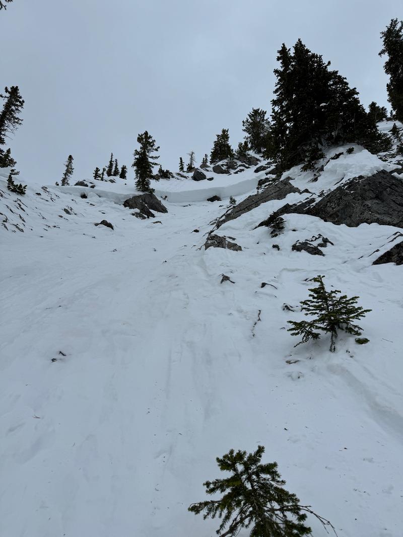
Photo below looking up at the Day's Fork crown which was up to 6' deep in places.
Ad
Avalanche Problem #1
Wind Drifted Snow
Type
Location
Likelihood
Size
Description
The westerly winds ramped up overnight, reaching nearly 50 mph. With strong winds and fresh snow ready for transport, you're likely to encounter sensitive slabs of wind-drifted snow on all upper-elevation slopes and mid-elevation terrain features that allow for drifting snow accumulation. These slabs will be most noticeable on leeward-facing slopes, but keep in mind that high winds can load any aspect due to swirling and changing wind directions as they navigate the mountains; this phenomenon is known as cross-loading.
Watch out for signs of wind-drifted snow, like pillow-shaped deposits, and steer clear of those slopes. The most favorable riding conditions will be in sheltered, lower-angle terrain out of the wind.

Outside of the wind zone, the dense new snow may still be reactive. Instabilities could occur at the interface with the old snow surface or within storm or wind-blown snow. Any avalanches may travel fast and far, particularly on southerly aspects where the new snow fell on a slick surface.
Avalanche Problem #2
Persistent Weak Layer
Type
Location
Likelihood
Size
Description
Three avalanches failing in the persistent weak layer (PWL) over the past week indicates this avalanche problem remains a serious concern. Thursday, UAC forecaster Dave Kelly and Greg Gagne visited the site of Tuesday's skier-triggered avalanche in Days Fork. This avalanche occurred on a steep, upper-elevation north-facing slope and was most likely triggered from a thin spot on the slope and propagated well over a hundred feet wide, with a crown up to 7' deep in places. These are the most suspect areas—steep, shallow, and rocky terrain features where we are aware that the persistent weak layer (PWL) still exists.
UAC forecasters from across the state describe how recent avalanches failing in a persistent weak layer (PWL) are triggered in spots with a thinner snowpack and propagate across slopes where the snowpack is deeper creating large and dangerous avalanches.

Overall, the likelihood or possibility of triggering an avalanche has decreased over the past few weeks. HOWEVER, the consequence of the avalanche on this layer has remained constant. Read - high consequence. While the most recent storm hasn't brought enough water or wind to push this layer over the edge again, we need to stay alert going into next week. With the potential addition of up to 2.5 inches of water, we should pay attention to this layer, as the likelihood of triggering an avalanche on it could spike or rise again.
General Announcements
This information does not apply to developed ski areas or highways where avalanche control is normally done. This forecast is from the U.S.D.A. Forest Service, which is solely responsible for its content. This forecast describes general avalanche conditions and local variations always occur.