Join us at our 2nd Annual Blizzard Ball

Forecast for the Provo Area Mountains

Drew Hardesty
Issued by Drew Hardesty on
Sunday morning, January 8, 2023
A MODERATE avalanche danger exists on all steep slopes with fresh soft slabs of wind drifted snow. Human triggered avalanches 1-2' deep are possible. In isolated terrain, it may be possible to trigger avalanches down to deeper weak layers.
Remember that safe travel habits save lives:
  • Make and communicate a plan
  • One at a time through steep terrain
  • Practice avalanche rescue
Low
Moderate
Considerable
High
Extreme
Learn how to read the forecast here
Weather and Snow
Skies are mostly cloudy in advance of a storm-in-name-only pushing through this afternoon. Winds picked up from the south overnight, blowing 15-20mph with gusts to 30. The most exposed anemometers have hourly averages of 25-30mph with gusts to 50. Temperatures are in the mid to upper-20s.
Riding conditions are excellent, although sun and wind damage exists in exposed terrain.
For today, we'll have mostly cloudy to overcast skies, temps in the mid to upper 20s, and moderate to strong winds from the southwest. Looking ahead, a one-two punch storm system moves through Monday afternoon through later Wednesday. The first punch brings wet, warm, and windy followed by a colder secondary wave Tuesday night into Wednesday. This may all add up to an additional 1-2" of SWE and 12-18" of snow. The Provo mountains will again be initially favored.
Clearing follows for Wednesday night through Saturday...with more storms to follow.
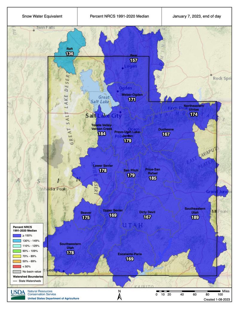
The state sits WAY above average for precipitation for this time of year and coverage is fantastic, with 50" at the trailheads and 75-95" up high.
Recent Avalanches
While more reports filtered in of the widespread natural avalanche cycle from Friday, we did not hear of any avalanches in the backcountry yesterday. Info below is from the central Wasatch, but it mirrors what I would expect in Provo.
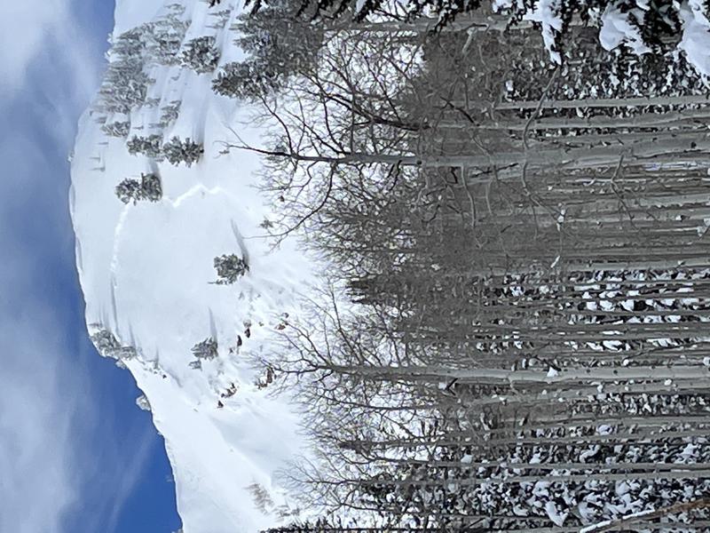
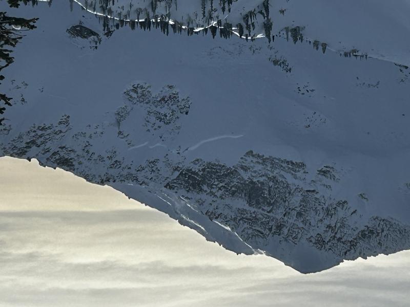
Some (photo 1- Hanging Snowfield, PC ridgeline) of Friday's natural avalanches failed within the new snow 1-2' deep, some of them stepped down into the older November PWL faceted layers 5-8' deep (photo 2 - White Baldy, LCC).
Avalanche control work yesterday triggered both soft slabs within Friday's new snow and new soft slabs of wind drifted snow.
pc: J Dunford
pc: C. Norris
Ad
Avalanche Problem #1
Wind Drifted Snow
Type
Location
Likelihood
Size
Description
Fresh soft slabs of wind blown snow will be your primary concern for today. New and developing pillows of wind drifted snow will be primarily found on steep west to north to easterly aspects at the mid and upper elevations, but don't discount drifting onto other aspects well off the ridgelines. Have an eye for cross-loading to the lee of sub-ridges and other terrain features. Shooting cracks and light audible collapsing of the wind pillows are sure clues to instability.
A word of extra caution: any newly triggered soft slab may then step down into Friday's storm snow, resulting in a larger avalanche. Similarly, at lower elevations, any new avalanche may step down to last weekend's rain crust.
Avalanche Problem #2
Persistent Weak Layer
Type
Location
Likelihood
Size
Description
Our deeply-buried persistent weak layer (PWL) continues to gain strength and become more stubborn for human triggering. It may take a significant trigger - a large cornice fall, multiple riders on a slope, or another avalanche to trigger one of these monster avalanches.
General Announcements
This information does not apply to developed ski areas or highways where avalanche control is normally done. This forecast is from the U.S.D.A. Forest Service, which is solely responsible for its content. This forecast describes general avalanche conditions and local variations always occur.