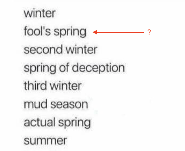
Are we experiencing fool's spring this week, or did fool's winter just get us last weekend? Hard telling, not knowing. Either way, temps continued to trend 10-20°F higher than historical norms since mid-week, with some mountain temps nearing 50°F yesterday. The put-put course was mostly snow-free at Snowbasin when Nikki and I visited on Thursday—a sign of the times.
This morning, under scattered skies, it's 42°F at Powder Mountain. The inversion continues with temps reaching the low 40s °F near the Ogden Skyline at 4 am, with close to freezing temperatures near 8500 feet. Modest light winds out of the SW continue after shifting from the N overnight.
Today, expect partly cloudy skies with a slight uptick in winds out of the SW into the afternoon. Temps continue to trend above normal, with mountain highs hitting the high 30s-low 40s °F. That persistent ridge continues as the main driver of our weather. While the peak of the heat's effects seems to have passed, keep an eye on warming snow, especially on solar slopes today.
Looking ahead, there is a pattern shift mid-next week with the potential for a weak storm to sneak in through the weekend, but be careful what you wish for. Precip and active weather are more exciting, but warm temps and water can be messy. We were spared from the hot, wet atmospheric river that tracked to our north earlier this week, which left our friends in the PNW without most of the snow they started with...as well as flooded mountain towns. The long-range models—yes, even the GFS Kool-Aid Trent talked about yesterday—are wobbly at best right now with how much water we'll get by Christmas, and the snow lines.
Fool's spring, fool's winter, but for me, forecasting the weather in the long range feels like a bit of a fool's errand right now. I'll just keep returning to Jim Steenburgh's 100 Inch Storm blog post to remind myself that things can change quite quickly for the better...
No new avalanches were reported in the backcountry yesterday.