Forecast for the Ogden Area Mountains

Dave Kelly
Issued by Dave Kelly for
Thursday, March 7, 2024
Today, there is a MODERATE avalanche danger on upper elevation steep terrain for lingering wind-drifted snow avalanches. The avalanche danger is LOW in mid and lower elevation terrain.
You will see dry loose avalanches in steep terrain at all elevations on the shady side of the compass and may see wet snow with daytime warming.
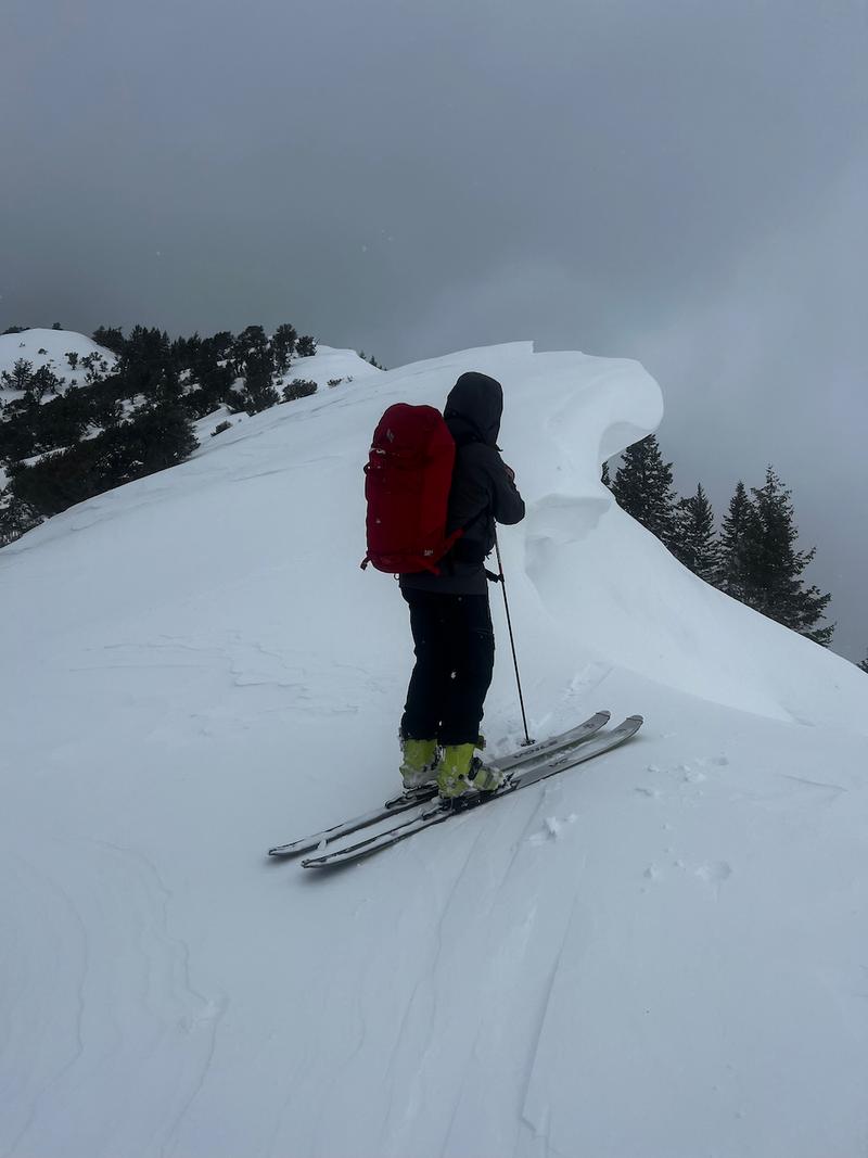
As you step out into bigger terrain evaluate each slope carefully for areas of wind-drifted snow or thinner places that may have avalanched earlier this season. These steeper locations will be rockier and have a shallower snowpack. They are the places where it would be possible to trigger an avalanche.
Low
Moderate
Considerable
High
Extreme
Learn how to read the forecast here
Special Announcements
We are seeking a passionate individual to join us as Executive Director of the nonprofit Utah Avalanche Center.
Weather and Snow
This morning, under overcast skies trailhead temperatures are in the high 20's °F and ridgetop temperatures are in the mid-20's °F. Winds have finally calmed down and are blowing lightly from a westerly direction at the lower elevation ridgelines and in the low teens gusting to the high teens MPH at the highest elevations. Mountain locations picked up 1"-3" snow and .10"-20" water over the last 12 hours.
Today, look for overcast skies with winds blowing from a north-westerly direction 5 gusting to 10 MPH at the lower ridgelines and 15 gusting to 20 MPH at the 9,000' ridgelines. Temperatures should be 34-38°F with snow accumulations of a trace to 3" throughout the day.
With intermittent sun and cloud through the day yesterday there was greenhousing reported up to the highest elevations on all aspects and damp powder skiing in protected areas that were not wind-affected. Anytime the warm March sun breaks through the clouds expect to see rapid heating of the snow surface.
Light showery snow continues through the day with dropping temperatures this evening as a cold front moves through. Tomorrow will be cold and sunny and the weekend looks clear. Read the forecaster discussion from our partners at the National Weather Service HERE.
Recent Avalanches
Yesterday, ski areas reported sensitive wind drifts along ridgelines and large D2 sized avalanches with explosives. There were reports of cornice growth from the previous day's wind and warming snow surface with the March sun filtering through the clouds. Check out all observations HERE.
Ad
Avalanche Problem #1
Wind Drifted Snow
Type
Location
Likelihood
Size
Description
A week's worth of strong winds have transported snow and, in many places stripped some windward locations back to rocks and brush. All of this blowing snow had to go somewhere and there are large drifts of snow on the leeward aspect of ridgelines and terrain features. The hardness of these wind drifts seemed to increase with elevation, which means they are more likely to allow you to get further onto the slope before breaking above you as you gain elevation.
Cornices are a sign of fresh wind-loading and there were observations of sensitive and large cornices over the last few days.
Photo of a large cornice on the North Ogden Divide (pic B. Smith).
To learn more about wind in the mountains check out Logan forecaster Toby's Blog HERE.
Avalanche Problem #2
Wet Snow
Type
Location
Likelihood
Size
Description
With temperatures above freezing at lower elevations and with any hint of sun today the newest snow surface will warm up quickly. Stay off of any slopes where you see wet loose rollerballs or start to sink down into the surface snow on steeper terrain. Your best bet is to head to higher elevation terrain if you notice warming at the lowest elevation. At lower elevations these could be wet avalanches where the heat is intensified by the sun warming the rocks.
Additional Information
Come join Snowbasin Ski Patrol and Wasatch Backcountry Rescue for an Avalanche Dog Fundraiser on Saturday, March 9 at 6 PM at the Union Grill (315 24th Street, Ogden UT).
General Announcements
This information does not apply to developed ski areas or highways where avalanche control is normally done. This forecast is from the U.S.D.A. Forest Service, which is solely responsible for its content. This forecast describes general avalanche conditions and local variations always occur.