Donate to the 2024 Spring Campaign to help rebuild the UAC website.

Forecast for the Moab Area Mountains

Eric Trenbeath
Issued by Eric Trenbeath for
Sunday, April 14, 2019
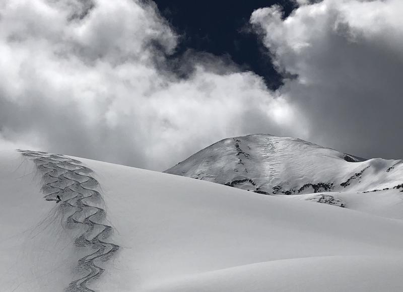
The avalanche danger is generally LOW this morning but will rise to MODERATE as the day heats up. Be alert to signs of wet snow instability such as roller balls or pinwheels, and get off of steep slopes as they become wet and sloppy. At the upper elevations, continue to be on the lookout for deposits of wind drifted snow on the lee sides of ridge crests and terrain features. Loose snow sluffs are also a possibility on very steep slopes of around 40 degrees. Keep these problems in mind if tagging big, high lines is part of your game plan.
Low
Moderate
Considerable
High
Extreme
Learn how to read the forecast here
Special Announcements
Today will be the last regular forecast for the season. I will post intermittent updates during significant weather events through the remainder of the month.
Weather and Snow
A few high clouds are streaming over the area, and westerly winds are on the increase ahead of a weak storm system that will move through well to the north later today. Ridge top winds are currently blowing in the 20-25 mph range with gusts in the 30's. 10,000' temps are in the mid teens. We'll see mostly sunny skies today with continued breezy WSW winds. High temps will climb into the low 40's. Monday will be similar with slightly warmer temperatures. Clouds move in Monday night ahead of the next storm system that will affect our area on Tue-Wed.
It's been an all time April so far in the La Sals and people were out and about yesterday skiing pretty much everything without incident. Two feet of snow fell on Wednesday, and powder conditions remained excellent through yesterday. Up high, the storm snow has been blown and drifted, but below about 12,000' excellent powder can still be found on northerly aspects. Heating of the snow surface has been gradual with cool temps, and frequent periods of cloud cover, but by the end of the day yesterday, most sun exposed slopes had become wet and sloppy. Expect them to be crusted over today.
New snow totals in Gold Basin (10,000')
Snotel totals at the Geyser Pass Trailhead (9600')
Winds at 11,000 feet on Abajo Peak (11,330') about 45 miles south.
National Weather Service point forecast.
Recent Avalanches
Yesterday I spoke with the party involved in the avalanche on the NE face of Tukno. The avalanche occurred on a very steep, somewhat cliffy, and sparsely treed slope. It looked like a soft slab release in the storm snow that was only about 20' wide, but that quickly swept the rider off their feet and then carried them for about 200' and down through some large trees. We are grateful that the outcome was positive. This is a reminder of how even a small avalanche can have consequences, especially if there are rocks, trees, or cliffs below.
Ad
Avalanche Problem #1
Wet Snow
Type
Location
Likelihood
Size
Description
With daytime high temperatures climbing into the 40's today, you will need to be alert to an increasing danger for wet snow avalanches. Look for signs os instability such as roller balls, and pinwheels on sun exposed slopes. Get off of, and stay out from under steep slopes as they become wet and sloppy.
Avalanche Problem #2
Normal Caution
Type
Location
Likelihood
Size
Description
Low danger doesn't mean no danger, especially if you are beginning to set your sites on some of the bigger lines, and more extreme terrain that the La Sals have to offer. Continue to be on the lookout for isolated wind rolls on the leeward sides of high elevation ridge crests and terrain features. Loose snow sluffing on very steep, north facing slopes is also still a possibility. Though mostly shallow, and not very wide, a loose sluff could carry you over a cliff and ruin your day if not your life. Practice safe travel techniques, and carefully evaluate the snow before committing to extreme terrain.
General Announcements
Your information can save lives. If you see anything we should know about, please help us out by submitting snow and avalanche observations HERE. You can also call me at 801-647-8896, or send me an email: [email protected].
Support the UAC through your daily shopping. When you shop at Smith's, or online at REI, Backcountry.com, Patagonia, NRS, Amazon, eBay by clicking on these links, they donate a portion of your purchase to the UAC. If you sell on eBay, you can have your See our Affiliate Page for more details on how you can support the UAC when you shop
This forecast is from the U.S.D.A. Forest Service, which is solely responsible for its content. This forecast describes general avalanche conditions and local variations always occur.