Geyser Pass Road: The road is open. Expect to find a few inches of fresh snow and some drifting in areas. 4x4 recommended.
Grooming: Trails were last groomed on Saturday.
On Monday, March 27, two snowmobilers were riding in the Oquirrh Mountains. One was caught, carried, and fully buried in a very large avalanche. His partner, friends and family, Utah County Search and Rescue, Utah Department of Public Safety, and LifeFlight participated in the rescue, but he sadly did not survive. The preliminary avalanche report can be found
HERE.Our sincerest condolences go out to everyone affected by this tragic avalanche.
6:00 a.m. Snow and Weather Data
24 Hour Snow 7" 72 Hour Snow 7" Season Total Snow 301" Base Depth at Gold Basin 110"
Temp 15° F Winds on Pre-Laurel Peak: WSW 13 G 22
Weather
The storm has moved on to the east. Today look for gradually clearing skies, breezy, westerly winds blowing in the 20-25 mph range, and high temperatures in the upper 20's at 10,000'. A warm, dry, and windy weekend is in store with temperatures climbing into the upper 30's on Saturday, and low 40's on Sunday. Get it while you can as cold air and stormy weather returns on Monday.
General Conditions
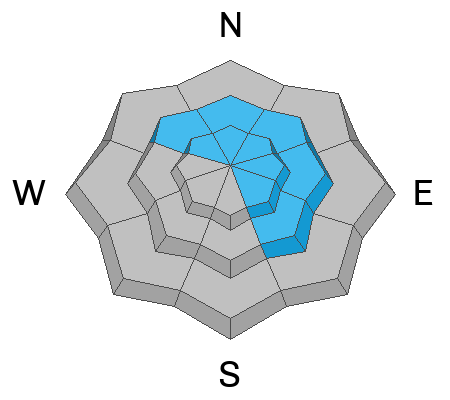
Things got pretty wild out there yesterday with periods of heavy snowfall and sustained SW winds blowing 30-40 mph with gusts in the 50's. State Parks Ranger, Jeff Arbon and I took a trip up to the Bald Mesa/Warner Lake area where we experienced periods of full whiteout conditions. Brief periods of clearing revealed plumes of blowing snow off the high peaks, while powder conditions were quite good in sheltered terrain. Peak instability likely occurred sometime late yesterday afternoon, but with limited snow and water weight (4"-7" at around 0.5" of SWE) I don't suspect much activity beyond some possible shallow, wind slab releases. You can still trigger a slab of drifted snow today on slopes steeper than about 35 degrees that show signs of recent wind loading. Suspect slopes that have more than about 8" of drifted snow.
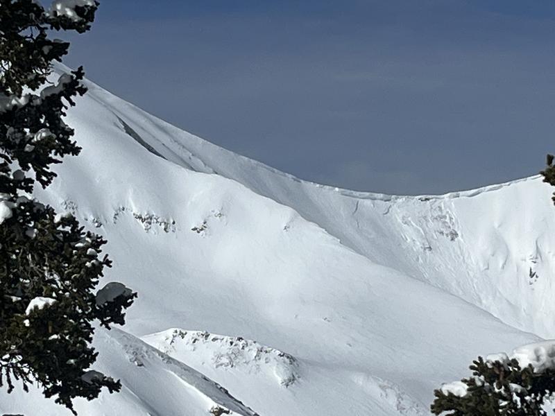
Cornices have grown huge in some areas and are teetering on the edge. Give them a wide berth as we have at least one report of one breaking off and triggering an avalanche.
Snowpack and Weather Data
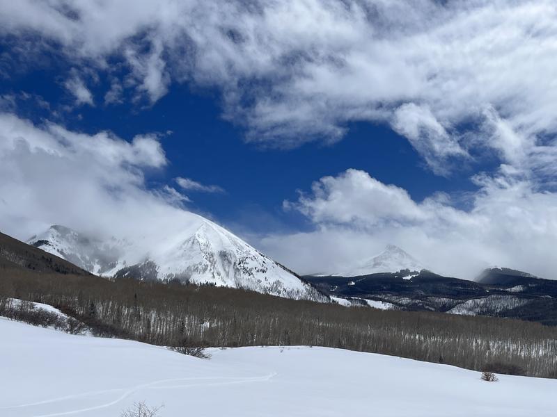
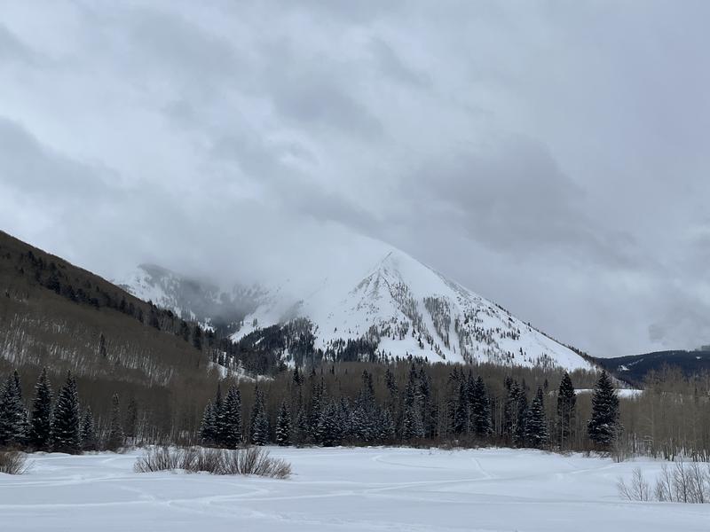
Dynamic weather day! Blowing snow mixed with clouds on the high north faces.
Taylor Martin reported a natural cornice fall that triggered an avalanche in Red Snow Cirque on Tuesday. Cornice fall remains an issue.