Forecast for the Moab Area Mountains

Eric Trenbeath
Issued by Eric Trenbeath for
Friday, February 3, 2023
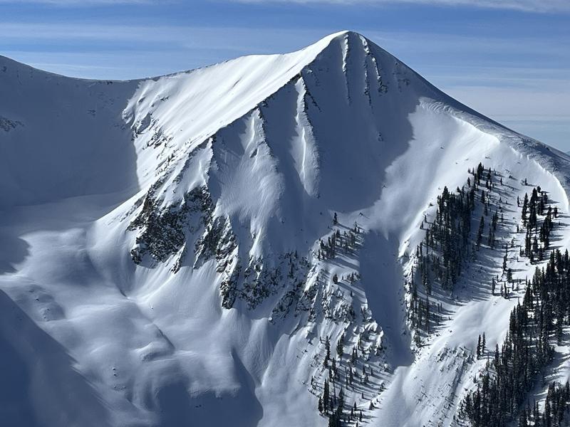
Most terrain has generally LOW danger. An isolated or MODERATE danger exists above treeline on steep, wind drifted slopes that face NW-N-E.
Practice safe travel techniques. Ride slopes one at a time and be mindful of consequential terrain.
Low
Moderate
Considerable
High
Extreme
Learn how to read the forecast here
Special Announcements
Geyser Pass Road: The road is open today!
Grooming: All trails were groomed on Wednesday and conditions are excellent.
Weather and Snow
24 Hour Snow 0" 72 Hour Snow 0" Season Total Snow 183" Base Depth at Gold Basin 75"
Winds on Pre Laurel Peak SW 5-10 Temp 12 F

Weather
Today will be another nice day in the mountains with mostly sunny skies, light SW winds, and high temps near 30 degrees at 10,000'. Look for high clouds to develop ahead of a weak disturbance bringing mostly cloudy skies to the area tonight. Skies clear on Saturday. Sunday looks mostly sunny but with increasing SW winds as the remnants of weak atmospheric river moves toward the region. Most of the moisture will be wrung out over the Sierra, but we'll see a chance for snow Sunday night into Monday.

General Conditions
In our travels yesterday we found mostly stable conditions and soft snow on northerly aspects, even in wind affected terrain in the alpine. In the highest reaches, isolated slabs of wind drifted snow still exist that could be sensitive to the weight of a skier or rider. If you avoid steep, wind drifted slopes, especially in areas of consequential terrain, you should be able to move freely through the backcountry. The strong sun and warmer temperatures heated solar aspects and they will be mostly crusted over today.
See a list of La Sal observations here.

Snowpack and Weather Data
Gold Basin Storm Stake (10,000')
Gold Basin SNOTEL site (10,000')
SNOTEL site near Geyser Pass Winter Trailhead (9600')
Wind Station on Pre-Laurel Peak (11,400')
NWS forecast for the La Sal Mountains.
Recent Avalanches
Some small, dry, loose avalanches from Tuesday's storm were observed in steep northerly terrain. See the La Sal Avalanche database here.
Ad
Avalanche Problem #1
Wind Drifted Snow
Type
Location
Likelihood
Size
Description
After nearly a week of steady blowing and drifting, winds have been light over the past few days. Slabs of wind drifted snow that formed during the windy period have mostly stabilized but there may still be a few drifts out there that remain sensitive to the weight of a skier or rider. Potentially unstable drifts are most prevalent on steep, northerly facing slopes above treeline. They will be the most problematic in areas of consequential terrain where you could be swept into rocks or carried over a cliff. As you begin setting your sites on larger terrain, continue to avoid steep, wind drifted slopes.
This is an example of the type of steep, wind drifted terrain you should still avoid. Note the areas of wind drifted snow hanging above consequential terrain.
The "pillowy" nature of the snow in this photo indicates recent wind drifting.
Avalanche Problem #2
Normal Caution
Type
Location
Likelihood
Size
Description
The likelihood of triggering an avalanche on the buried persistent weak layer that formed in November has become so low that we have removed that problem from our forecast. A remote possibility exits however in thinner snowpack areas, or in very steep, rocky, radical terrain.
Avalanches involving new and wind drifted snow can be just as serious, especially if you find yourself in bigger alpine terrain. Consider your terrain choices carefully, and be aware of of the consequences. Always practice safe travel techniques regardless of conditions:
  • Only expose one member of the party at a time to avalanche terrain. The rest of the party should be in a safe spot with eyes on the skier or rider in the avalanche path.
  • Have an escape route or "Plan B" in your head if an avalanche were to happen.
  • Never ski above others parties in avalanche terrain. Keep open lines of communication with other touring parties.
  • Consider the consequences of your terrain choices. What will happen if the slope slides? What is below you? What are you connected to?
  • Continue to evaluate the snowpack and gather as much information as possible. Use test slopes that are representative of the terrain you wish to ski.
Additional Information
General Announcements
This forecast is from the U.S.D.A. Forest Service, which is solely responsible for its content. This forecast describes general avalanche conditions and local variations always occur. This forecast will be updated by 7:30 tomorrow morning.