Forecast for the Moab Area Mountains

Issued by Eric Trenbeath on
Monday morning, December 14, 2020
Monday morning, December 14, 2020
Blowing and drifting of the most recent snow has created a MODERATE avalanche danger on steep, upper elevation, northerly facing slopes. In some cases, slabs have developed over top of a layer of weak, sugary, faceted snow. Overall low coverage will make this type of terrain difficult to access, but if you find yourself in these areas, suspect slopes that have smooth, rounded deposits of wind drifted snow. Cracking in the snow surface is a sign of instability.
Low snow cover will create the biggest hazard out there right now, and barely covered rocks and deadfall can quickly ruin your season. Even a small avalanche triggered under these conditions can have serious and painful consequences.

Low
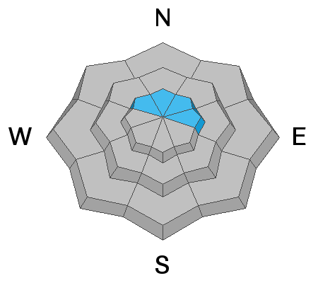
Moderate
Considerable
High
Extreme
Learn how to read the forecast here