Donate to the 2024 Spring Campaign to help rebuild the UAC website.

Forecast for the Moab Area Mountains

Eric Trenbeath
Issued by Eric Trenbeath for
Thursday, November 29, 2018
Anticipate a rising avalanche danger over the next 24 hours!
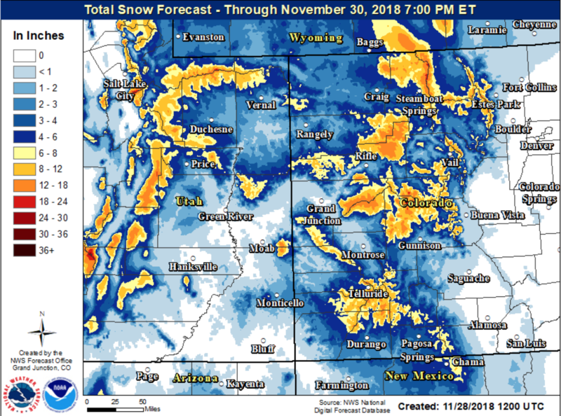
The avalanche danger remains mostly LOW this morning but will likely rise to MODERATE later in the day, and reach CONSIDERABLE by tomorrow morning. It will simply be a matter of accumulating snowfall which will add stress to existing persistent weak layers in the snowpack. Today an isolated danger exists in upper elevation, wind exposed terrain where stiff deposits of wind drifted snow may be found overlying layers of weak, sugary, faceted snow. As new snow begins to accumulate the problem will become more widespread and you'll want to avoid all steep terrain above about 10,000' that faces NW-N-E.
Low
Moderate
Considerable
High
Extreme
Learn how to read the forecast here
Weather and Snow
Skies are mostly cloudy, ridge top winds are in the 10-15 mph from the WSW, and 10,000' temps are in the high 20's. SW winds will be on the increase today, gusting to 40 mph along ridge crests as the storm system moves into our area. We may see a few inches of snow this afternoon and evening, but the bulk of the energy will arrive around midnight tonight. Watching this system develop over the last few days I keep noticing slight downgrades that lower my confidence though I'm still hopeful for 6-10" by the end of the day on Friday. Unsettled weather will remain through the weekend.
18"-30" of snow exists on the ground above 10,000' on NW-N-E aspects, the problem is getting to it. South facing slopes are mostly melted out and coverage at mid elevations is exceedingly thin. We need at least a foot, and more realistically, two feet of snow before we can officially call it game on.
New snow totals in Gold Basin (10,000')
Snow totals at the Geyser Pass Trailhead (9600')
Wind, temperature, and humidity on Pre Laurel Peak (11,700')
National Weather Service point forecast.
Ad
Avalanche Problem #1
Persistent Weak Layer
Type
Location
Likelihood
Size
Description
Above 10,000' 18-24" of snow has been sitting on the ground on northerly aspects since mid-October. This snow has been been deteriorating into weak, sugary, faceted snow near the ground, and at different levels in the snowpack. In some cases, the entire snowpack is made up of loose, weak, faceted snow. As new snow begins to accumulate, these persistent weak layers will become more reactive and the danger for triggering an avalanche up to 2' deep will increase. Though the temptation will be high to go to these areas since they have the deepest base, you'll want to avoid steep slopes with a NW-N-E aspect over the coming days.
General Announcements
We are very proud to introduce our new website for the 2018-19 winter season. This will provide an easier and cleaner way to view all of the snow and avalanche information that you've come to rely on. We are quite happy with how the new website performs on mobile devices as well. We think you'll find the desktop or laptop experience pleasant as well. We are still tying up some loose ends so bear with us.