Forecast for the Logan Area Mountains

Paige Pagnucco
Issued by Paige Pagnucco for
Saturday, March 30, 2024
The avalanche danger is MODERATE with heightened avalanche conditions in drifted mid and upper-elevation terrain. You could trigger soft or hard slab avalanches of drifted storm snow 1 to 2 feet thick on slopes steeper than 30°. Human-triggered sluffs are also possible in steep terrain. The danger could increase during periods of intense snowfall.
Evaluate snow and terrain carefully. The best and safest riding conditions are in sheltered, shady, low-angled terrain.
Low
Moderate
Considerable
High
Extreme
Learn how to read the forecast here
Special Announcements
Donate today to help us rebuild our website backend platform to ensure uninterrupted access to avalanche information and the ongoing security of the website and the data stored on the site.
Weather and Snow
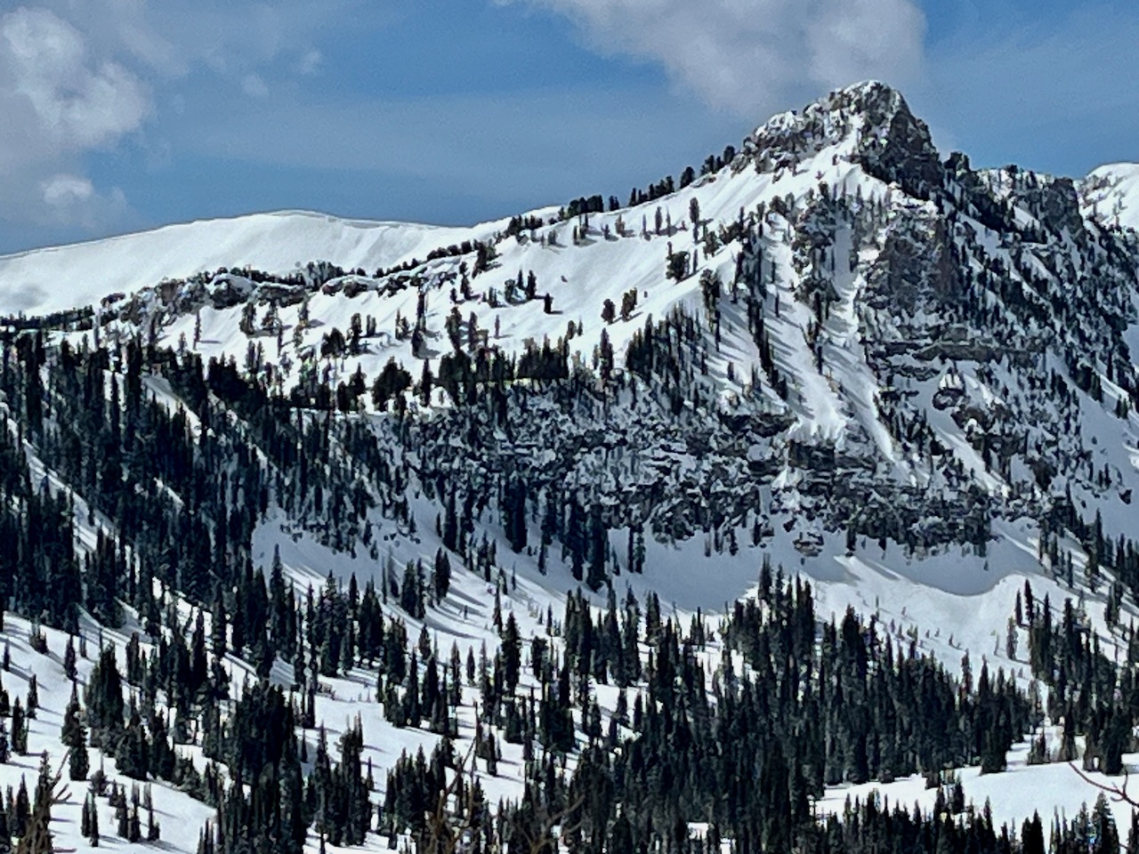
Hard to believe it's almost April as we'll keep getting free powder refills all weekend. Today, you'll find nice powder riding conditions in the backcountry, especially in sheltered, shady upper-elevation terrain. Yesterday's strong sunshine zapped most snow facing the south half of the compass and a bit more due to the high sun angle. Slope testers were out in full force and we observed a few triggered sluffs and one nice wind slab. The biggest concerns today are hard and soft wind slabs and new snow sluffs. Avalanche danger could increase during periods of intense snowfall.
*While it's exciting to have such great conditions this time of year, please remember to practice safe travel and backcountry etiquette protocols. Do not ride over the top of another party in exposed terrain.

The Tony Grove Lake Snotel at 8400' reports .3 inches of SWE overnight, roughly about 3-4 inches of new snow. It's 27° F this morning, and there is 102 inches of total snow at the site containing 121% of normal snow water equivalent. At 05:00 on Logan Peak, winds are blowing from the south in the 20's mph gusting into the 40's mph, and it's 24° F at 9700'. At our new Paris Peak weather station at 9500', it's 21 °F, and the wind is blowing from the south-southeast 5 to 10 mph. It's 26° F at our new Card Canyon weather station at 8800' and there is 90 inches of total snow.

It's still winter in the mountains! Expect snow showers today, mainly before 3 pm, with 3-7 more inches expected. 8500' high temperatures will be about 34° F and winds will blow from the south-southwest at 13 to 21 mph. Light snow showers continue tonight before another strong wave passes through the zone tomorrow. The mountains could pick up another 6-10 inches of snow on Sunday. Snow lingers through Monday and the sun comes out in full force on Tuesday.
Recent Avalanches
We noticed several sluffs yesterday as well as one nice size wind slab on Cornice Ridge.

Check out all local observations and avalanches HERE.
Ad
Avalanche Problem #1
Wind Drifted Snow
Type
Location
Likelihood
Size
Description
You could trigger soft and hard slab avalanches of drifted snow, especially in northerly and easterly-facing upper-elevation terrain on slopes steeper than 30°. Avalanches could fail on the interface on top of last week's melt-freeze crust or a density change within the newer snow.
  • Avoid travel on slopes capped by large cornices on the lee side of major ridges.
  • Watch for stiffer drifted snow or wind slabs in and around terrain features like sub ridges, gully walls, mid-slope rollovers, scoops, and cliff bands.
  • In drifted terrain, watch for cracking and other obvious signs of instability, like recent avalanches on similar slopes.
  • Practice safe travel protocols to avoid exposing more than one person to avalanche danger.
Avalanche Problem #2
New Snow
Type
Location
Likelihood
Size
Description
In steep, even sheltered terrain, you could trigger soft slabs or fast-moving sluffs of new snow.
  • Although generally manageable, shallow soft slabs or loose avalanches in steep terrain could carry you into potential terrain traps below, like trees, gullies, sinks, or cliff bands. These avalanches are avoided by not traveling on slopes steeper than about 35 degrees.
  • The sun is supposed to stay hidden today so the potential for wet avalanches exists mainly where the snow is saturated from rain and warm temperatures. If you are sinking deeply into wet snow, move to a lower angle slope or cooler aspect or elevation. If the sun does pop out for even a short bit, the risk of wet avalanches will increase rapidly.
Additional Information
Wind slab avalanche on Cornice Ridge viewed from afar yesterday.
General Announcements
-National Forest Winter Recreation Travel Maps show where it's open to ride: UWCNF Logan, Ogden LRD Tony Grove, Franklin Basin CTNF Montpelier
-Listen to your very own Logan Zone avalanche forecasters on the UAC Podcast HERE.
-Read Toby's blog about wind, drifting, and avalanches HERE.
-Sign up for forecast region-specific text message alerts. You will receive messages about changing avalanche conditions, watches, and warnings...HERE.
-For all questions on forecasts, education, Know Before You Go, events, online purchases, or fundraising, call 801-365-5522.
-To report an avalanche or submit an observation from the backcountry, go HERE.
-Come practice companion rescue at the Franklin Basin TH Beacon Training Park. It's free and open to everyone. For easy user instructions, go HERE.
-We will issue regular daily updates of our forecast through April 14.
-We will update this forecast tomorrow by 7:30 AM.
This forecast is from the U.S.D.A. Forest Service, which is solely responsible for its content. This forecast describes general avalanche conditions, and local variations always occur.