Forecast for the Logan Area Mountains

Issued by Toby Weed on
Saturday morning, February 22, 2020
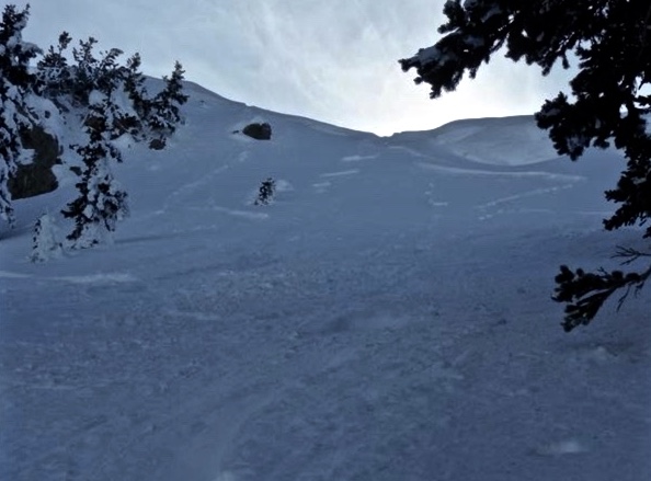
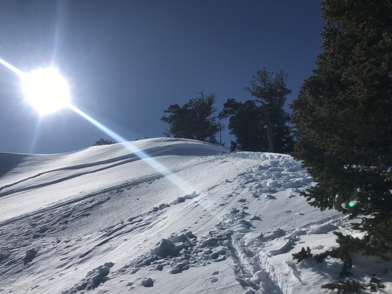
The snow is stable on most slopes, avalanches are unlikely, and the danger is LOW in the backcountry. Exceptions may exist on isolated very steep slopes facing the eastern half of the compass, where people might trigger shallow slab avalanches of previously wind drifted snow. Loose wet avalanches could become possible in steep sunny terrain with melt-softened and saturated surface snow. Be sure everyone in your party has working avalanche rescue gear, and continue to follow safe backcountry travel protocols.
- Use Normal Caution

Low
Moderate
Considerable
High
Extreme
Learn how to read the forecast here
Special Announcements
The UAC's Avy Awareness Auction is currently underway with tons of great gear, jewelry, artwork and experiences available. Visit the auction page HERE to help support the UAC's spring avalanche awareness and outreach efforts.
Weather and Snow
It's 26°F at the 8400' Tony Grove Snotel, and there is is 88 inches of total snow, containing 122% of normal Snow Water Equivalent. West winds are currently blowing around 21 mph at the CSI Logan Peak weather station, and it's 23°F this morning at 9700'.
The snow is stable on most slopes and avalanches are unlikely. Exceptions may be found on previously drifted easterly facing slopes. On isolated slopes steeper than about 40 degrees, stiff wind drifts might fail on a thin persistent weak layer above the widespread crust from 2/7. We are finding the best riding conditions on sheltered slopes and in lower angled terrain.
A potent storm system will move east across the southern Great Basin this weekend. Widespread rain and snow will cover mainly southern and central Utah beginning Saturday this afternoon and continuing through early Sunday morning.
In the Logan Zone, we'll see increasing clouds today, with 8500' high temperatures around 37°F and 7 to 14 mph southwest winds. It will be partly cloudy tonight with low temperatures around 18°F, and northeast winds 7 to 15 mph. Tomorrow will be sunny with high temperatures near 34°F, and 9 to 11 mph north-northwest wind. A few inches of snow is likely to fall in the Logan Zone Sunday night and a couple more inches of accumulation is possible on Monday.
Recent Avalanches
A skier intentionally triggered a small wind slab avalanche Thursday, 2-20-2020 in the Mount Naomi Wilderness on a northeast facing slope at around 9300' on Cougar Peak. The avalanche was about 6" deep and 20' wide.

No other avalanches were reported in the zone since Monday 2-17-2020, when people triggered a handful of avalanches in the Logan Zone including a couple in the backcountry of Beaver Mountain's Backside.

This rider triggered avalanche from Monday occurred in the Tony Grove Area near the Naomi Trail on an east-northeast facing slope at 8900' in elevation.
A very close call occurred Monday in the Ogden Area Backcountry near Snowbasin. A skier survived after being completely buried, with only a ski tip sticking out of the snow. The skier and his partner did not have any avalanche rescue gear. Our preliminary accident report is HERE.
Avalanche Problem #1
Normal Caution
Type

Location

Likelihood

Size

Description
The snow is stable on most slopes and avalanches are unlikely. "Low danger" does not mean "No danger," and exceptions exist on isolated previously drifted slopes steeper than about 40 degrees, where people might trigger avalanches of stiff wind drifted snow failing on a thin persistent weak layer above the stout 2/7 crust. Despite increasing clouds today, solar warming and green-housing could cause potential for loose wet avalanches on sunny slopes with melt-softened and saturated surface snow.
Check everyone in your party to be sure your avalanche rescue equipment is in working order. Everybody should have a beacon, probe, and shovel, and you should practice companion rescue as a team. Continue to follow safe travel protocols, which means only one person at a time is exposed to a potential avalanche while the rest of the party watches from a safer location.
- Cracking is a red flag, indicating unstable snow.
- Watch for and avoid drifts near ridge lines and in and around terrain features like cliff bands, scoops, gully walls, and sub-ridges.
- Avoid ridge top cornices, which can break much further back than expected and could start avalanches on slopes below.
Additional Information
Many slopes are quite slick and treacherous due to rain and rime events earlier in February. You could encounter slippery and dangerous "slide for life" conditions in steep terrain with hard snow surface or a shallowly buried thick crust. An ice ax and crampons may be needed for many of the steeper mountaineering routes.
General Announcements
Thanks to the generous support of our Utah ski resorts and Ski Utah, we have discount lift tickets available. All proceeds from these go towards paying for avalanche forecasting and education! Get your tickets HERE.
EMAIL ADVISORY. If you would like to get the daily advisory by email you subscribe HERE.
Remember your information can save lives. If you see anything we should know about, please help us out by submitting snow and avalanche observations....HERE. You can also call us at 801-524-5304, email by clicking HERE, or include #utavy in your tweet or Instagram.
This forecast is from the USDA Forest Service, which is solely responsible for its content. The forecast describes general avalanche conditions and local variations always occur.
I will update this forecast before about 7:30 Monday morning.