Do you buy groceries at Smiths? When you register your Smith’s rewards card with their Community Rewards program, they will donate to the Utah Avalanche Center whenever you make a purchase. It's easy, only takes a minute, and doesn't cost you anything. Details here.
The 8400' Tony Grove Snotel reports 29 F and 95" of total snow containing 151% of average SWE (Snow Water Equivalent.) It's 23 F at the CSI Logan Peak weather station at 9700', and the wind is blowing from the southwest at 25 mph, with a gusts of 47 mph early this morning.
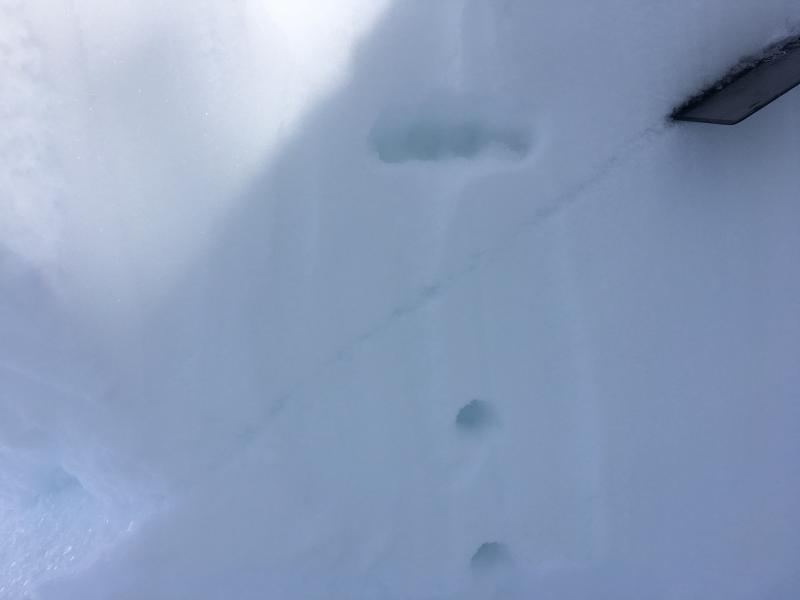
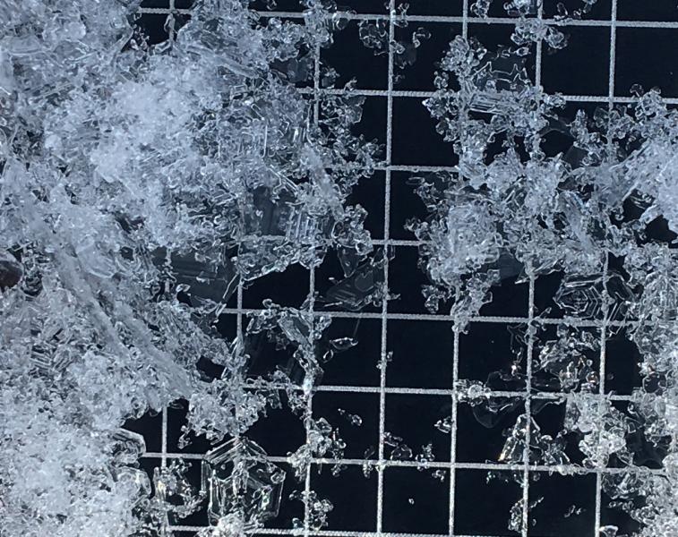
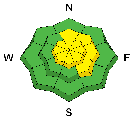
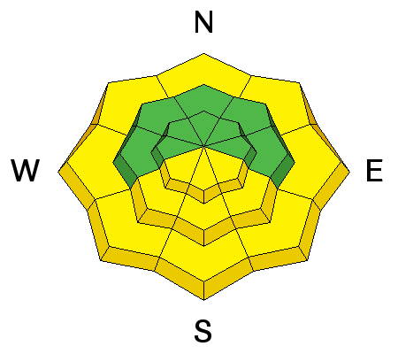
Fine re-crystallized powder still exists on many sheltered, shady slopes in the area, but wind and sun have taken toll. Sustained southwest winds in the past couple days stripped snow off of windward slopes and drifted it into upper elevation deposition zones. Most exposed slopes now sport wind-crust, sastrugi, or stiff wind slabs. South facing and low elevation slopes are sun or warmth affected, and the snow is crusty or saturated. Lots of people got out this weekend and no significant avalanches were reported. The snow is stable in most places, but areas with unstable snow exist. Triggered avalanches, 2' deep, on buried surface hoar are possible on mid elevation slopes. Another triggered avalanche on surface hoar yesterday near Park City, and collapses, cut-bank activity, and snowpit tests locally indicate continuing avalanche potential. Over the weekend, I found poor snow structure with buried surface hoar and weak facets capping a sun-crust in sunnier areas at mid and lower elevations on west and southwest facing slopes in East Wood Camp in the the southern Bear River Range.


Poor snow structure and triggered avalanche potential exist on slopes with buried surface hoar or sugary facets capping a sun-crust. (1/29/17)


