31st Annual Backcountry Benefit - September 12th - Tickets Available Here!

Forecast for the Logan Area Mountains

Toby Weed
Issued by Toby Weed on
Wednesday morning, November 22, 2023
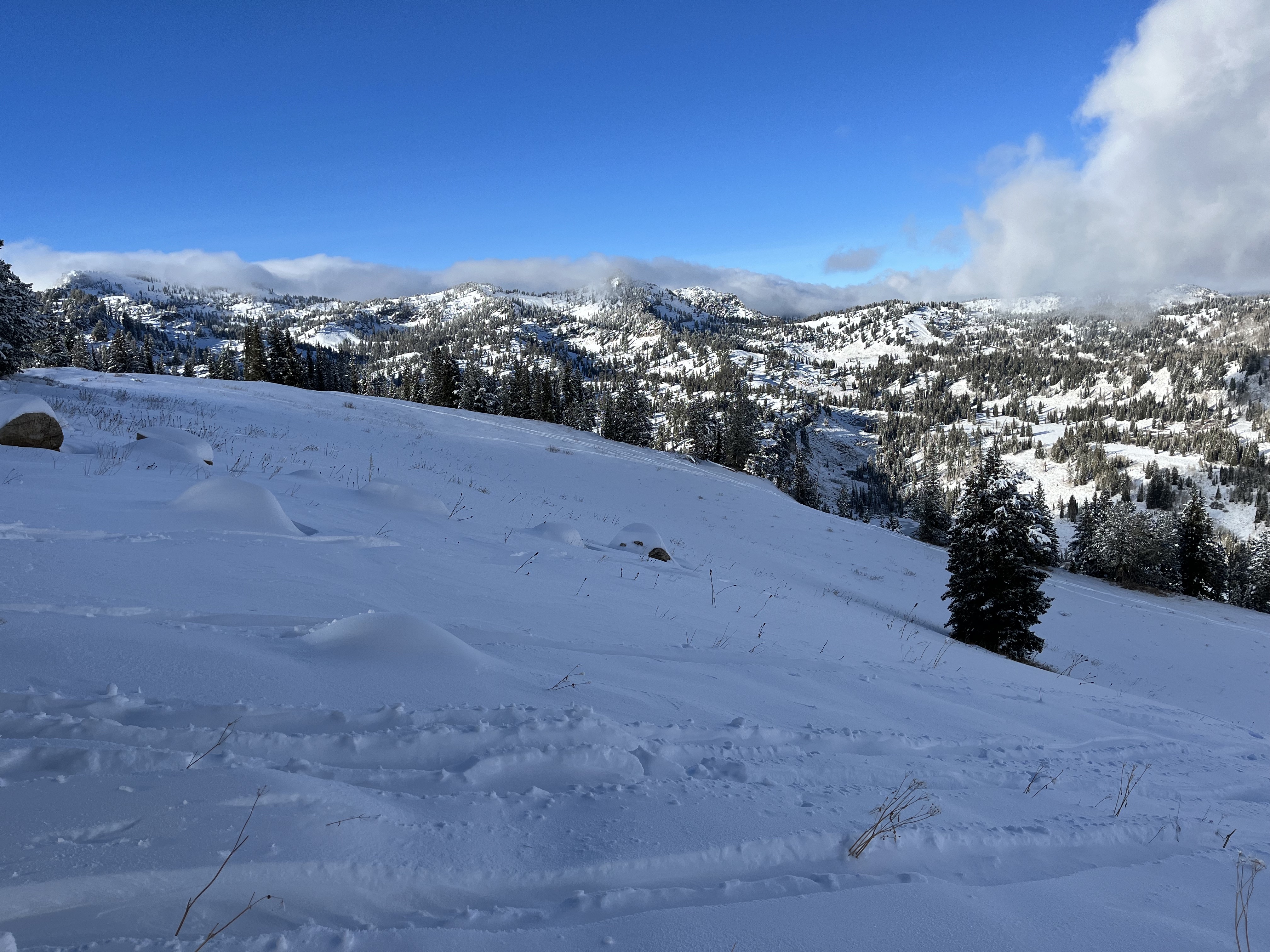
The snow in the Logan Zone is still quite shallow in most places, with insufficient cover for safe riding and skiing. A Thanksgiving storm is expected on Thursday and Friday. The National Weather Service has issued a Winter Weather Advisory, and 6 to 12 inches of snow could accumulate at upper elevations in the Bear River Range. High-elevation shady slopes hold 1 to 2 feet of snow, and these are the places where you could run into an avalanche problem.
Although generally unlikely, avalanches are possible in drifted terrain and on slopes steeper than 30 degrees with a smooth ground surface. Even a small avalanche could be a big deal if you are caught and carried into rocks, stumps, or down trees in its runout.
Thanks for checking the forecast, and stay tuned. We’ll continue to issue updates as conditions change.
Low
Moderate
Considerable
High
Extreme
Learn how to read the forecast here
Weather and Snow
Observers report up to about 2 feet of snow on select upper-elevation slopes, with much less in other places. The upper elevation snowpack is layered, with crusts and thick layers of very weak, sugary, or faceted snow near the ground. These persistent weak layers may cause avalanche problems as future snow overloads them.
The current forecast calls for 6 to 12 inches of accumulation on high slopes in the Bear River Range on Thursday and Friday and the potential for fairly strong northeast and easterly winds on Friday.
The snow is pretty shallow, with 2 feet or less blanketing the rocky terrain in the Central Bear River Range.
Despite the lack of snow, now is a great time to practice companion rescue with your backcountry companions...
Ad
Additional Information
It’s been a busy fall, and I’m happy to report that we’ve recently installed two new weather stations in the Logan Zone. They are both up and running, producing real-time data available to the public, and they will help us forecast mountain weather and local avalanche danger more accurately.
The Paris Peak Weather Station (available HERE) was installed in the northern Bear River Range near the summit of Paris Peak at around 9500 feet in elevation, northwest of Bear Lake. It measures mountain-top winds in a vast area without similar data. We installed the Card Canyon Weather Station (available HERE) near Red Pine Ridge at about 8750 feet in elevation north of Logan Peak in upper Card Canyon. In addition to other weather details, this station will measure the total snow depth and its changes throughout the winter.
It’s never too early to start thinking about avalanches. Here are a few things to consider doing:
  1. Get your avalanche rescue gear ready for winter. Put fresh batteries in your transceiver and update the firmware. Inspect your shovel and probe. Get your airbag backpack ready by possibly doing a test deployment and updating the firmware if it is an electric version.
  2. Sign up for an avalanche class. Learn more about avalanches and decision-making. Hit the education tab on utahavalanchecenter.org for class listings.
  3. Take a free online avalanche course the UAC built for Know Before You Go or other courses listed on the KBYG website (Develop skills -> Online Learning).
General Announcements
The Tony Grove Road is not maintained for winter driving, and you will likely encounter very slick, snowy, and icy conditions if you venture up there.
Our 20th annual Pray For Snow fundraiser party will be on Tuesday night, December 5, at the Cache on Main Street in Logan. For more information and to get your tickets in advance, go to our events page.
Know Before You Go - December 6 - Utah State University, Logan. It's Free!
Please join us for a KBYG presentation hosted by Utah State University from 6:00 - 8:00 PM: Location: USU Aggie Recreation Center (ARC), 805 E 700 N, Logan, UT.