

Forecast for the Logan Area Mountains

Issued by Toby Weed on
Friday morning, November 11, 2022
Friday morning, November 11, 2022
Areas with elevated avalanche conditions and MODERATE danger exist on drifted upper elevation slopes, and people could trigger small wind slab avalanches. The snow is stable and the danger LOW in most terrain.

Low
Moderate
Considerable
High
Extreme
Learn how to read the forecast here
 Weather and Snow
Expect a nice sunny day with continued cold temperatures on this Veterans Day, and it looks like cool and rather dry weather will persist through the weekend and next week. Today, high temperatures at 8500' will not rise far above 19° F and wind chill values will be as low as -8° F. Observers report good powder riding conditions and much improved coverage after the mountains picked up more than two feet of new snow with this week's storm.
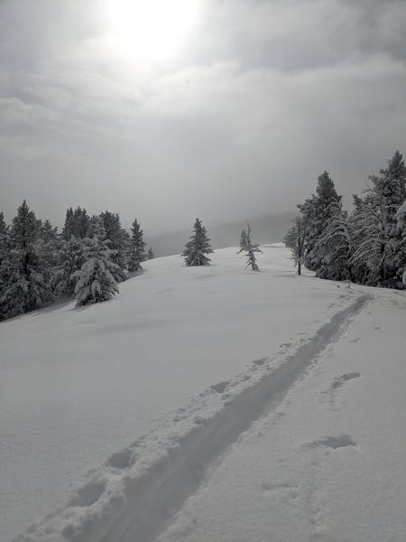
Shallow early season snow conditions exist, with only about a foot-and-a-half of total snow covering the rocks on most upper elevation slopes before this week's snow. Although the heavy fresh snow keeps you off the ground, there are numerous shallowly buried land mines out there. Keep your speed down and caution is required to avoid hitting shallowly buried rocks, stumps, or down trees.
 Recent Avalanches
No new avalanches have been reported in the Logan Zone, but we've received reports of some activity in the Wasatch Range above Salt Lake City and Park City. See our updated list of Avalanches from across Utah HERE

Avalanche Problem #1
Wind Drifted Snow
Type
Location

Likelihood
Size
Description
People could trigger slab avalanches of wind drifted snow if they venture onto exposed upper elevation slopes. It is always wise to avoid travel on steep slopes with obvious deposits of wind drifted snow.
- Wind drifts are often smooth and rounded looking, like lenses.
- Drifted snow is stiffer and more compacted than non-drifted snow, and hard drifts often produce hollow drum-like sounds when you walk on them.
- Freshly formed wind slabs can be quite sensitive and are often remotely triggered. Older, harder wind slabs can be very stubborn and may not release until you get well out on them, suddenly failing like a big mouse trap.
- Shooting cracks in drifted snow are a sure sign of instability.
- The snow is still so shallow in avalanche run-out zones that people could sustain serious injuries if they are caught and carried over rocks in even a small avalanche.
Additional Information
- Take the all-new online avalanche courses the UAC built for Know Before You Go or take other online courses listed on the KBYG website (Develop skills -> Online Learning).
- Get your avalanche rescue gear ready for winter. Put fresh batteries in your transceiver and update the firmware. Inspect your shovel and probe. Get your airbag backpack ready by possibly doing a test deployment and update the firmware if it is an electric version.
General Announcements
Please submit your observations from the backcountry HERE.
For a list of avalanche classes from the Utah Avalanche Center go HERE
For information on where you can ride your sled or snowbike, check out this map of the winter travel plan for the Tony Grove and Franklin Basin Areas HERE.
The Tony Grove Road is not maintained for wheeled vehicles in the winter.
This information does not apply to developed ski areas or highways where avalanche control is normally done. This forecast is from the U.S.D.A. Forest Service, which is solely responsible for its content. This forecast describes general avalanche conditions and local variations always occur.