Join us for the 17th Annual Professional Snow and Avalanche Workshop (PROSAW) on November 4 - Purchase tickets here!

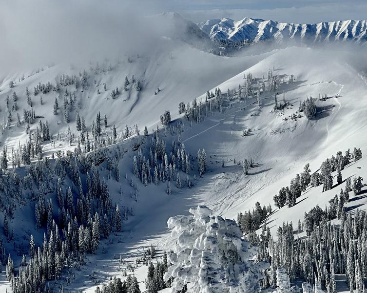
Forecast for the Logan Area Mountains

Trent Meisenheimer
Issued by Trent Meisenheimer on
Sunday morning, January 8, 2023
There is CONSIDERABLE avalanche danger on all upper-elevation slopes facing west, north, and east. On mid-elevation slopes facing west, north, and east, there is MODERATE avalanche danger. In either case, people could trigger large and dangerous avalanches failing on a persistent weak layer buried 2 to 5 feet deep.
A MODERATE avalanche danger exists on all steep slopes with fresh soft slabs of wind-drifted snow. Here, human-triggered avalanches 1-2' deep are possible.

At lower elevations, we have a LOW avalanche danger where avalanches are unlikely to happen.
Low
Moderate
Considerable
High
Extreme
Learn how to read the forecast here
Weather and Snow
Under cloudy skies, the mountain temperatures hover in the mid-teens Fahrenheit. Southerly winds have already begun to increase, and our currently blowing 30-40 mph, gusting into the 50s on Logan Peak.
A weak storm will cross overhead today, bringing an increase in clouds and a trace of a couple of inches of snow to the Logan area. Southerly winds are expected to continue and blow at speeds of 30-40 mph across the uppermost peaks. Yet another stronger storm is expected to affect the area Monday into Tuesday, bringing another round of wind and snow.
The sun took its toll on southerly-facing terrain yesterday, and I would expect to find a crust on those sunlit slopes. Turn slightly to the north and excellent powder conditions remain on almost all aspects and elevations.
Recent Avalanches
Yesterday we had one report of a very large natural avalanche in the Mount Naomi Wilderness that was 4' deep and 800' wide, running into the flats. A likely weak layer is the November facets (persistent weak layer). We are unsure when this avalanche happened, but Toby and I are thinking within the past 48 hours. Photo: Wolford
Ad
Avalanche Problem #1
Persistent Weak Layer
Type
Location
Likelihood
Size
Description
In many places, people could trigger large and dangerous avalanches failing on a deeply buried sugary persistent weak layer. Such an avalanche could be triggered remotely, from a distance or below. The persistent weak layer from November is now buried 2-5 feet deep, and any avalanche that fails on it will likely be hundreds of feet wide.
In upper elevation terrain in areas with a deep snowpack stability has apparently improved. Poor snow structure still exists in many places, but the buried persistent weak layer from November is buried so deeply under a thick slab that it is unlikely a person could cause a collapse. The problem is that a person could trigger the slope from an area where the slab is shallower, and a dangerous hard slab avalanche could result. Also, it appears that there are plenty of areas in the Logan Zone where the overall depth of the snowpack is shallower and the snow structure obviously worse. Recent natural and remotely triggered avalanches and snowpit test results from Friday show this to be the case.
Avalanche Problem #2
Wind Drifted Snow
Type
Location
Likelihood
Size
Description
As strong southerly winds blow and transport snow, they'll add more weight to slopes. A smaller wind slab avalanche overrunning a slope with a poor snow structure could cause a much larger avalanche to step down to our now deeply buried November persistent weak layer.
  • As always, look for and avoid drifts on the lee side of prominent ridges, on corniced slopes, and in and around terrain features like cliff bands, mid-slope break overs, gully walls, sub ridges, saddles, and sinks.
  • Human-triggered avalanches 1-2' deep are possible in areas being loaded by the wind.
General Announcements
  • Remember, when you leave the ski area boundary, Beaver Mt or Cherry Peak, you are entering the backcountry, and you could trigger dangerous avalanches.
  • Please submit your observations from the backcountry HERE.
  • For a list of avalanche classes from the Utah Avalanche Center go HERE
  • For information on where you can ride your sled or snowbike, check out this map of the winter travel plan for the Tony Grove and Franklin Basin Areas HERE.
This forecast is from the U.S.D.A. Forest Service, which is solely responsible for its content. This forecast describes general avalanche conditions and local variations always occur.