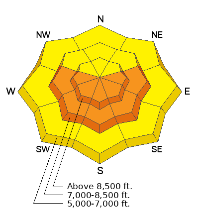
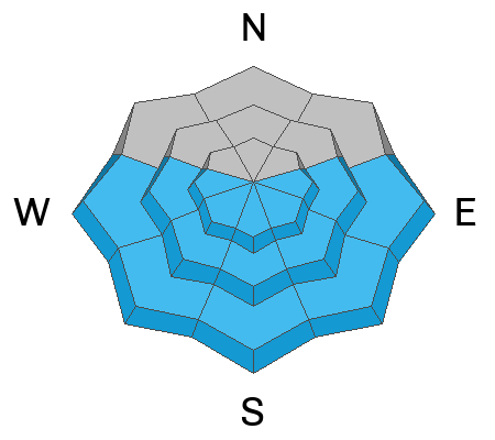
A poor overnight refreeze, daytime heating and abundant sunshine will cause the snow to become saturated and unstable on sunny slopes at mid and upper elevations. Even though temperatures stayed above freezing last night up high, the clear skies allowed for a decent surface refreeze, and the snow is now crusty at all elevations. The "Springtime in January" heat has significantly damaged last week's nice powder, and snow conditions have become sub-par. The good news is we have excellent coverage, great weather, visibility, and very supportive snow, creating excellent "touring" and avalanche viewing conditions.
Wind blowing from the south increased significantly overnight, and this morning , the 9700' CSI Logan Peak weather station is recording average wind speeds of around 30 mph, and it's 33° F. At 9500' on Paris Peak, it’s 30° F, and winds are blowing 10 to 20 mph from the SSW. The Tony Grove Snotel at 8400' reports 34° F and 72 inches of total snow containing around 120% of average SWE (Snow Water Equivalent).
Today, expect high temperatures at 8500' over 40° F again, with sunny skies and winds blowing from the south-southwest. Tomorrow, we can expect increasing clouds, cooling temperatures, 15 to 20 mph wind from the south-southeast, and light snowfall in the afternoon. The National Weather Service has issued a
Winter Weather Advisory beginning tomorrow afternoon and continuing through Saturday. Snow is expected tomorrow night, with 2 to 4 inches of accumulation possible, winds blowing out of the east, and temperatures dropping to around 24° F. Snowfall will increase on Friday, with 4 to 8 inches in the forecast for upper-elevation slopes, winds veering from the west, and 8500' high temperatures around 32° F. Expect snow to continue Friday night and Saturday with a few additional inches of accumulation likely.
A natural wet and hard slab avalanche cycle occurred Sunday due to rapid warming. The wet activity mainly occurred on south-facing slopes at all elevations, and some large slab avalanches failed on the December persistent weak layer.
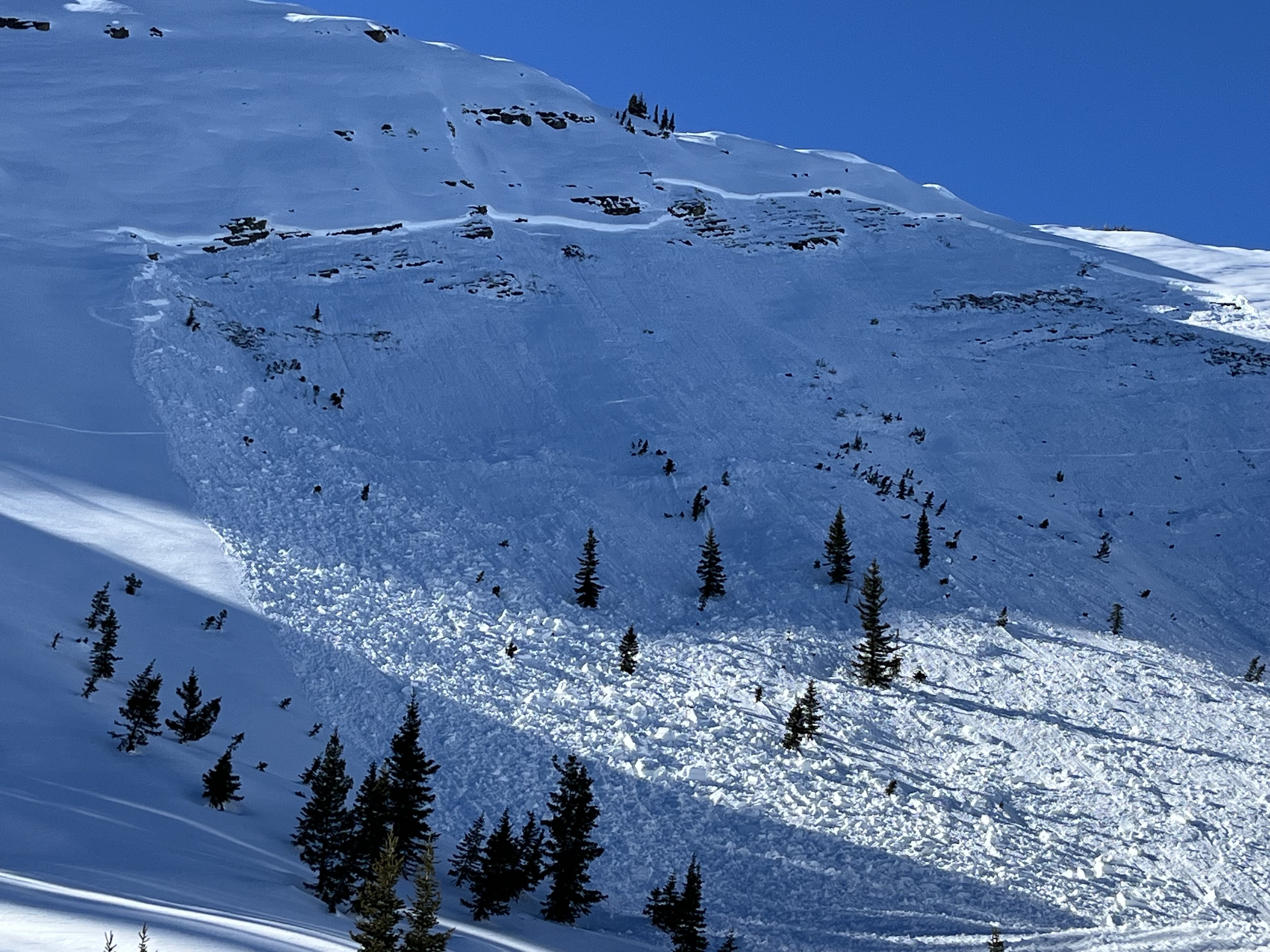
- Evidence of large natural wet slab avalanche that occurred during the heat of the day was observed yesterday on Mitton Peak in the Wellsville Mountain Wilderness. The 2' deep and 100' wide avalanche, visible from Highway 89/91, started at around 8400' in elevation on a southeast-facing slope and ran close to 2000 vrt'
- A very large natural wet avalanche was witnessed by a professional observer in Green Canyon a little after noon on Sunday. see the report
- A large avalanche on Wilderness Peak near Gibson Lakes in Franklin Basin was either naturally occurring or it was remotely triggered by riders on Sunday. It was reported on Monday by riders who noticed recent sled tracks in the area. report is here
A large hard slab avalanche on Wilderness Peak was either a natural due to heat shock or it was remotely triggered by riders on Sunday.
Check out local observations and avalanches
HERE.


