Forecast for the Logan Area Mountains

Toby Weed
Issued by Toby Weed for
Friday, January 20, 2023
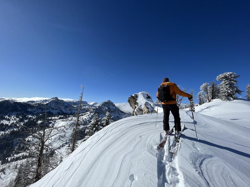
You'll find very nice powder conditions in the backcountry today. The snow is deep and stable on most slopes, avalanches are generally unlikely, and the danger is LOW. Exceptions and areas with MODERATE danger exist in some upper elevation terrain where human-triggered avalanches of wind-drifted snow are possible.

Keep an eye on your partners, travel one at a time in avalanche terrain, and have a plan if an avalanche were to happen.
Low
Moderate
Considerable
High
Extreme
Learn how to read the forecast here
Weather and Snow
In general, powder conditions are excellent across the zone with great coverage. No big storms on the horizon but we'll pick up a few inches on Sunday.
Two or three inches of nice cold snow fell in the Bear River Range in the last 24 hours. This morning thee Tony Grove Snotel reports 16° F and 88" of snow on the stake (147% of normal) and the CSI Logan Peak weather station is showing winds blowing from the northeast about 20 mph, with gusts in the mid 30's.
Today, snow will tapper off and we'll see gradual clearing. Temperatures at 8500' will be about 24° F with wind chill values around -1° F due to breezy east winds. Winds should decrease and veer from the west later this afternoon.
As we roll into the weekend, we'll have decreasing clouds and partly sunny skies with overnight lows in the single digits and highs during the day about 18° F on Saturday. Light and variable winds are expected.
A few inches of snow are expected to fall in the Logan Zone on Sunday..
Recent Avalanches
No new avalanche activity was reported yesterday. Find a list of all observations & avalanches HERE.
Ad
Avalanche Problem #1
Wind Drifted Snow
Type
Location
Likelihood
Size
Description
In our travels this week, we found mostly stable snow but there were areas where the wind had had its way. In the past few days winds blew from varied directions, and overnight and this morning they are blowing from the east. Easterly winds oppose the prevailing wind direction, but so far have been fairly light. So, wind slabs formed up high near the ridge lines and on what is normally the windward side. It's best to avoid areas of freshly wind-drifted snow on steep slopes. Winds may increase near canyon mouths today and there is still lots of light snow for the wind to pick up and drift around. Even a small wind slab avalanche can have large consequences.
Avalanche Problem #2
Normal Caution
Type
Location
Likelihood
Size
Description
In general in the Logan zone, the snowpack is deep and stable. We have dropped the persistent weak layer problem for now as the snowpack has gotten too deep in most places for people to trigger this type of avalanche. There are still areas with poor snow structure though, primarily where the snow is shallower, like in the Wildernesses and some outlying areas.
  • Today, you'll find nice powder conditions at all elevations and on most slopes except for some south facing slopes which caught a bit of sun on Wednesday.
  • Remember that Low danger does not mean No danger. If you are in avalanche terrain, avalanches are always possible.
  • Always travel with a partner, only expose one person at a time in steep terrain, and have a plan for what to do in case an avalanche occurs.
  • If you are in an area with shallower snow, it would be a good idea to dig down into the snow - if you can get to the facets fairly quickly, I'd avoid steep slopes in that area.
General Announcements
  • Remember, when you leave the ski area boundary, Beaver Mt or Cherry Peak, you are entering the backcountry, and you could trigger dangerous avalanches.
  • Please submit your observations from the backcountry HERE.
  • For a list of avalanche classes from the Utah Avalanche Center go HERE
  • For information on where you can ride your sled or snowbike, check out this map of the winter travel plan for the Logan and Ogden Ranger Districts HERE, and a close up of the Tony Grove and Franklin Basin Areas HERE.
This forecast is from the U.S.D.A. Forest Service, which is solely responsible for its content. This forecast describes general avalanche conditions and local variations always occur.