Snowpack Summary and General Conditions
Buckboard flat has received seven inches of new snow so far, and more is on the way today. The Abajos could pick up 15" of snow when it's all said and done. The new snow is coming in with very strong SW winds blowing 40-50 mph with gusts up to 70. All of this new snow and very strong wind will create dangerous conditions in the backcountry. Backcountry travelers will need to be on the lookout for fresh slabs of wind drifted snow that will be sensitive today. Avoid any recently drifted slope that appears fat, pillowy, round, and smooth. Large amounts of new snow can be dangerous on its own. When snow piles up quickly, it is relatively unstable because it hasn't had time to settle. When a skier or rider crosses a steep slope, the new snow can release and pick up speed down hill. This is called a sluff. This problem can be avoided by staying off steep slopes today.
Coverage is amazing with more than 8' of snow up high in sheltered locations!
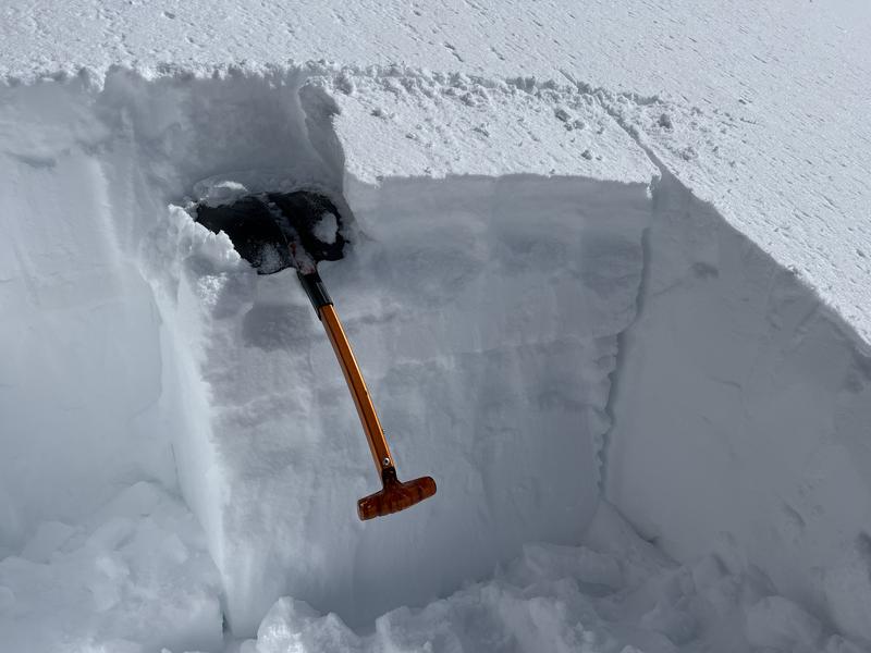
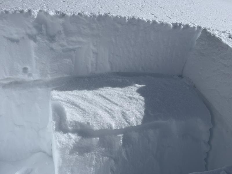
In Eric's travels up North Creek on Friday, he found excellent powder conditions with well over a foot of snow after settlement from Tuesday's storm. In most cases he found that the new snow had bonded fairly well and he did not observe many signs of instability although there were a few exceptions. On a west facing slope at 10,800' he found that the most recent snow had formed a cohesive slab on top of a sugary layer of snow on top of a crust. Stability tests demonstrated that is was capable of producing an avalanche and slopes steeper than 30 degrees should be avoided where this combination exists.
An Extended Column Test (ECT) produced the above results with a score of 24.. The slab is the new snow that fell earlier in the week, and you can see where it failed on sugary snow on top of a crust.
Eric also experienced collapsing of wind drifts along a ridge crest. Areas of wind drifted snow remain a problem. Avoid steep slopes that have a smooth rounded appearance. Areas of steep convexities are likely trigger points.
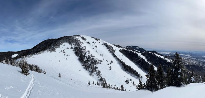
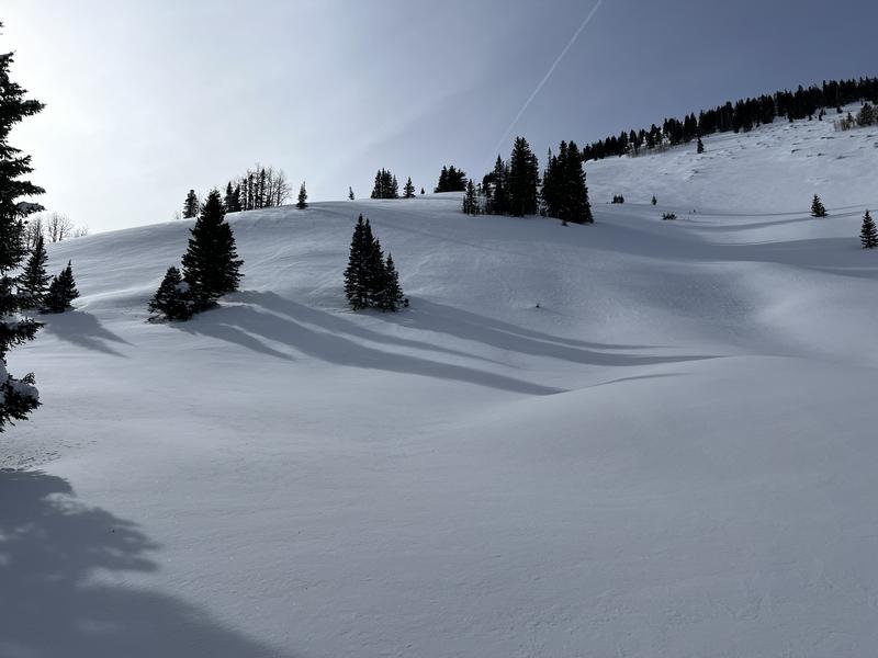
The slope in the foreground on the left has a characteristic wind loaded appearance. It also has steep convex rolls that are likely trigger points. This is suspect terrain. Conversely, the terrain up high and to the right has been wind scoured and therefore does not pose much of a threat.