Forecast for the Abajos Area Mountains

Eric Trenbeath
Issued by Eric Trenbeath for
Saturday, February 18, 2023
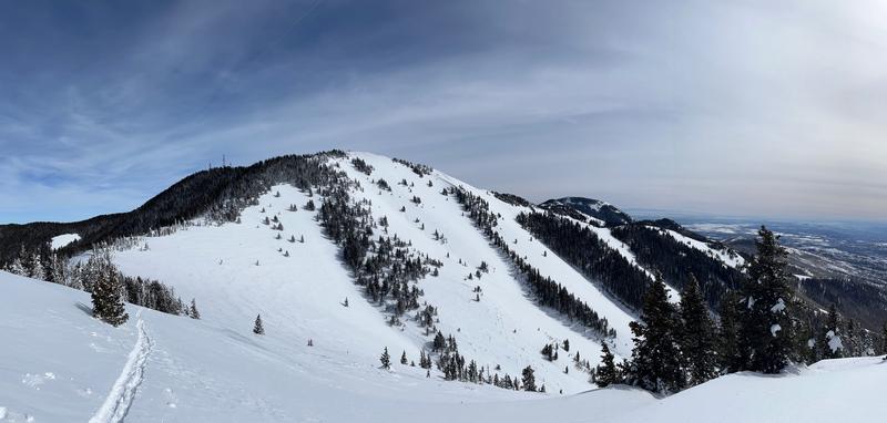
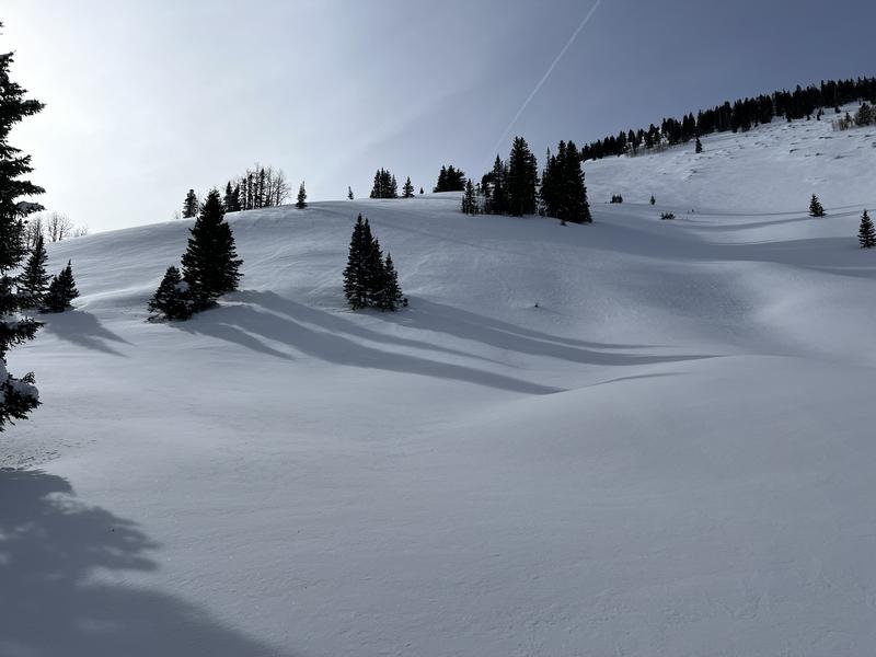
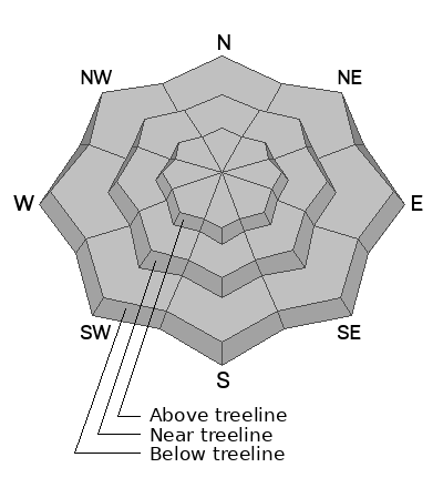
Though not likely, human triggered avalanches are still possible. The greatest danger exists on slopes steeper than 30 degrees that face W-N-E. Avoid steep slopes that show signs of recent wind loading. Wind drifts are recognizable by their smooth, round, pillowy appearance, and cracking is a sign of instability.

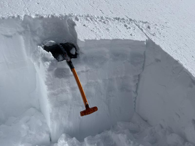
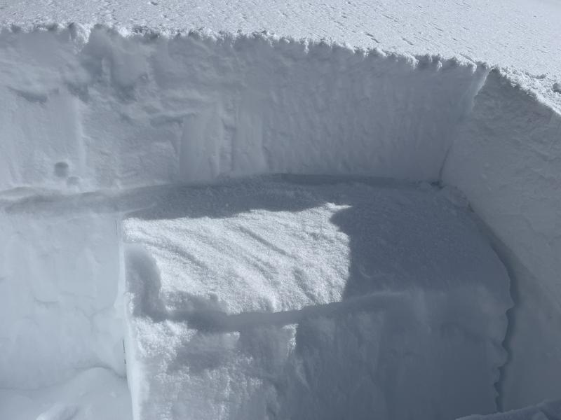
A remote possibility also remains for triggering a deep avalanche on a weak layer of sugary, faceted snow at the base of the snowpack. You are most likely to encounter this problem on very steep, northerly facing slopes that have a shallower snowpack.
Low
Moderate
Considerable
High
Extreme
Learn how to read the forecast here
Special Announcements
Have you been hearing how cell phones and such can interfere with your avalanche beacon? The "20/50 Rule" is that you want your beacon 20cm (8") away from other electronics while transmitting and 50cm (20") away from electronics while searching. Get the full scoop here.
Weather and Snow
Snow totals and temps at Buckboard Flat (8924')
Snow totals and temps at Camp Jackson (8858')

Snowpack Summary and General Conditions
Coverage is amazing with more than 8' of snow up high in sheltered locations!
In my travels up North Creek on Friday, I found excellent powder conditions with well over a foot of snow after settlement from Tuesday's storm. In most cases I found that the new snow had bonded fairly well and I did not observe many signs of instability although there were a few exceptions. On a west facing slope at 10,800' I found that the most recent snow had formed a cohesive slab on top of a sugary layer of snow on top of a crust. Stability tests demonstrated that is was capable of producing an avalanche and slopes steeper than 30 degrees should be avoided where this combination exists.
An Extended Column Test (ECT) produced the above results with a score of 24.. The slab is the new snow that fell earlier in the week, and you can see where it failed on sugary snow on top of a crust.
I also experienced collapsing of wind drifts along a ridge crest. Areas of wind drifted snow remain a problem. Avoid steep slopes that have a smooth rounded appearance. Areas of steep convexities are likely trigger points.
The slope in the foreground on the left has a characteristic wind loaded appearance. It also has steep convex rolls that are likely trigger points. I consider this suspect terrain. Conversely, the terrain up high and to the right has been wind scoured and therefore does not pose much of a threat.
Additional Information
If you are getting out in the backcountry, we'd love to hear what you're seeing. Please submit observations here. For the most recent snowpack observations click here. You can also send an email to [email protected] or give me a call with anything noteworthy, especially avalanches! 801-647-8896
General Announcements
This forecast is from the U.S.D.A. Forest Service, which is solely responsible for its content. This forecast describes general avalanche conditions and local variations always occur.