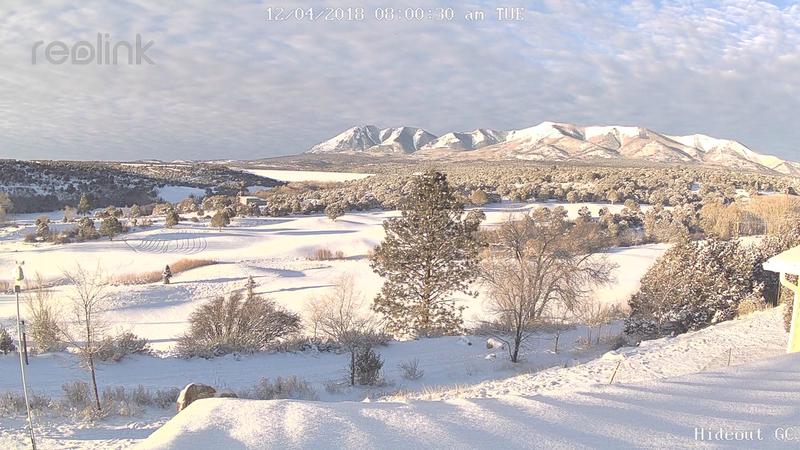
Photo courtesy of Kevin Dressell webcam.
It's looking like winter in the Abajos with the range picking up about 16" of snow over the past weekend. In all but the upper elevation northerly aspects the new snow has fallen on bare ground. North facing slopes had about a foot of snow on them prior to the last storm cycle. This old snow has turned into weak, sugary facets making a potentially unstable base for the recent snowfall. If you are getting into the high country, avoid steep, northerly facing terrain, especially slopes that have recent deposits of wind drifted snow. I'll get down later this week and begin issuing regular forecasts this weekend. In the meantime you can stay abreast of current weather and snow totals with the links below.
Wind, temperature, and humidity on
Abajo Peak (11,000')