Forecast for the Abajos Area Mountains

Eric Trenbeath
Issued by Eric Trenbeath for
Saturday, December 23, 2023
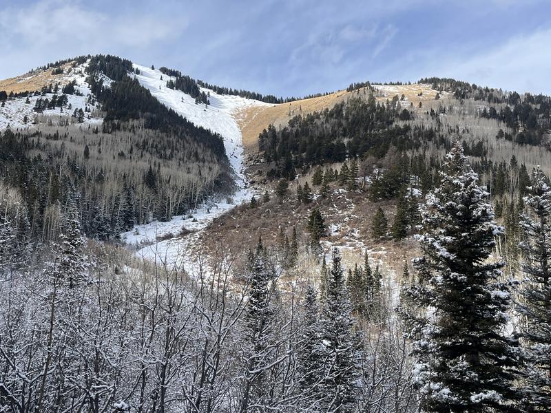
Conditions remain quite thin in Abajos and avalanches are unlikely.
Low
Moderate
Considerable
High
Extreme
Learn how to read the forecast here
Weather and Snow
As of this writing a storm is currently moving through the 4 Corners region and the Buckboard SNOTEL site in lower North Creek is reporting 4" of new. I traveled up and over North Creek Pass yesterday and found low snow conditons and bare ground on solar aspects. For more details read my observation. Overall coverage on shady slopes ranges from 1'-2'. The existing snowpack is very weak and will likely prove to be problematic when significant snow finally accumulates. For now, there really isn't enough snow to venture off of roads.
NWS forecast for the Abajo Mountains.
Snow totals and temps at Buckboard Flat (8924')
Snow totals and temps at Camp Jackson (8858')
Horse Head slide path on December 22, 2023.
Additional Information
The snowpit below was dug on a northeast aspect just below North Creek Pass. It shows a very weak, underlying snowpack. The line through the middle is a layer of weak, sugary, faceted snow, and everything below it is faceted as well. This creates an unstable base for future snowloads and we'll be keeping our eye on it.
General Announcements
This forecast is from the U.S.D.A. Forest Service, which is solely responsible for its content. This forecast describes general avalanche conditions and local variations always occur.