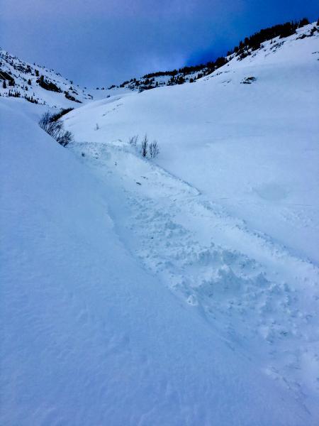
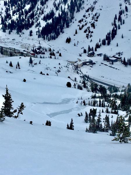
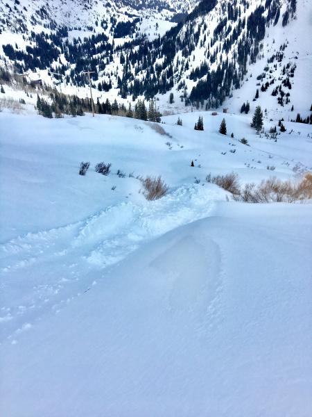
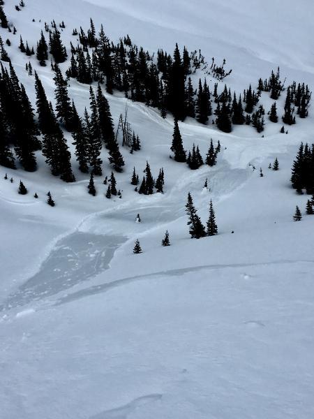
What an interesting tour today. Went up to Cardiff Peak, skied down Intermediate Ridge, back up Intermediate Ridge, and back down towards Alta from the pass. Found a mix bag of conditions and recent human triggered avalanches. The first encounter was a sizable recent avalanche which crossed the old mining road in the Toledo Gully. Soon thereafter, I ran into a friend who told me about a couple long running push-alanche's he kicked off in the low angle British Bowl. Between about 9,000-9,500 ft. it was super slick and almost impossible to skin. Above about 9,500 it was rather locked up and fun skiing. Cardiff was the same deal as the South side as far as snow characteristics go.
The location for the instabilities noted is right around 9,000 to 9,500 ft. Anything below and above that was super fun cream cheese skiing. I have never seen snow slide so easily on low angle slopes. It was basically graupel on an ice crust which made it possible to avalanche slopes around 20 degrees! The slides were not wide but they ran easily and far, entraining all the new snow. If you tried to ski that layer on say the South Face of Mt Superior, 2 trees or something like that, you would have a slide for life. A real slide for life.
Tomorrow might be a different story, maybe the new snow/ice crust will bond? Maybe so maybe not? I imagine it will reactive tomorrow, especially in the morning. This is not something were used to here in the Wasatch. Heavy Rain events are weird and something I don't know much about or trust.
Pictured below are a few snapshots from today avalanches.