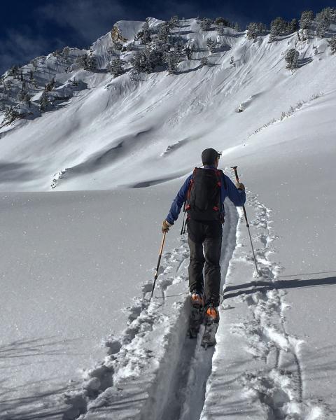
Headed up to Raymond via Buttler Fork, the plan was to stick to the E and SE facing and stay away from the more suspect north aspects. We were a little worried about the sun but some low hanging clouds kept things cool until the sun angle moved around enough to keep wet activity to minimum. The S and SE did get damp by afternoon and will be crusted in the morning. The snow pack on Raymond varied from 2 to 3 feet deep and the upper portions are surprisingly filled in. There where many large sluffs on the main face which occurred during the weekend storm but no actual crowns. We did experience one large and loud collapse on the upper ridge line when my partner pulled his ski off and his foot broke through the crust and into the facets on the north side of the ridge line which makes sense seeing no one has been on Raymond lately. There is a poor snow pack structure on the E facing but there was not enough of a slab on top to activate it, multiple steep lines were skied with no activity.
Photos: sluffing on the main face, minimal wet activity on the SE facing.


