Get Your Ticket to the 32nd Annual Backcountry Benefit on September 11th! Support Forecasting, Awareness, and Education

Observation Date
12/20/2017
Observer Name
B
Region
Salt Lake » Big Cottonwood Canyon » Brighton Perimeter
Location Name or Route
Brighton Perimeter
Weather
Sky
Overcast
Precipitation
Moderate Snowfall
Wind Direction
West
Wind Speed
Moderate
Weather Comments
Warm overnight with temperatures dropping by mid day. Moderate winds started out of the SW and continuted to veer more towards the NW until frontal passage began around 1500; gusts were in the strong category. Light transport observed.
Snow Characteristics
New Snow Depth
5"
New Snow Density
Low
Snow Surface Conditions
Dense Loose
Faceted Loose
Wind Crust
Melt-Freeze Crust
Snow Characteristics Comments

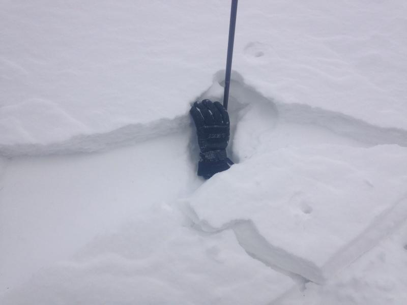
Mixed bag out there, but the best news was the winds appeared to be smoothing out the old "hammered" snow surfaces and erasing many of the old ruts and tracks. Light transport was observed, and wind slabs and crusts were evident and building small manageable drifts in isolated terrain features well below the classic upper elevation starting zones. Still some patches of dense settled old snow that rode well in NSF's that were up to 4 inches deep in the most sheltered undisturbed terrain, yet the majority of good riding of this nature was shallower and only 2 inches deep. Crusts from the past weeks warm weather on Southerly aspects. No SH observed, it appeared that the winds destroyed this potential issue in many locations

Red Flags
Red Flags
Wind Loading
Poor Snowpack Structure
Red Flags Comments
Overnight (from 1500 on 12/20 to 0600 at 8000 saw at least 5 inches of light density new snow falling with light WNW winds
Avalanche Problem #1
Problem
Wind Drifted Snow
Trend
Decreasing Danger
Problem #1 Comments

See above and photo, shallow isolated wind slabs from cross and top loading on mid elevation terrain features. Mostly stubborn and unreactive, yet some were falling on weak surface snow. For Thursday, any areas receiving even light winds could see sensitive new wind slabs developing with the new light density snow available for transport.

Avalanche Problem #2
Problem
New Snow
Problem #2 Comments

Light density new snow sitting on potential weak surface snow and surface crusts may yield fast running loose dry avalanches/sluffing in very steep terrain, mostly on E, N and W aspects that had old snow before this latest event.

Today's Observed Danger Rating
Low
Tomorrows Estimated Danger Rating
Moderate