Very quiet day in the backcountry with Low danger. Was interested in the current snow surface of what appears to be a good-looking storm for the weekend.
Widespread crusts on most aspects, with dense, faceted snow on upper elevation north aspects. Will need to see how any storm snow bonds to the crusts.
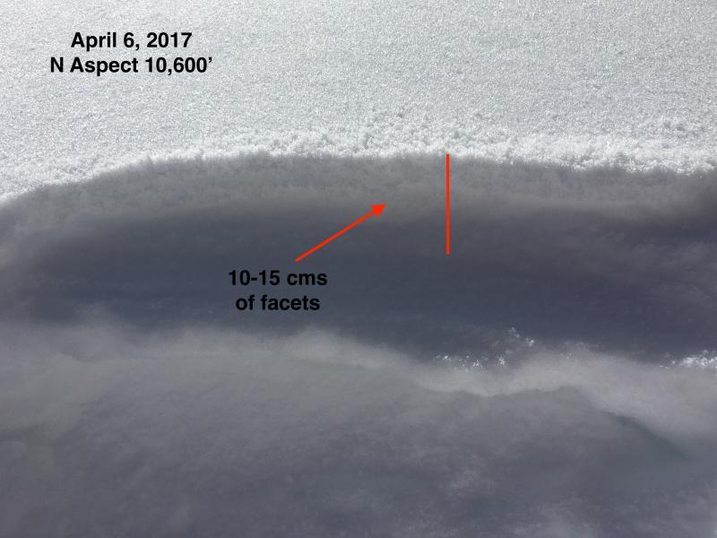
The faceted snow is interesting. This is from the snow that fell on Thursday 3/30 and Sunday 4/2. Amounts were modest, but in some favored locations up to 15-20 cms (6-8") fell over these two events. Sun and greenhousing on Friday 3/31 crusted most aspects, with the exception of north aspects above about 10,500' where some dry snow remained. The small storm Sunday deposited small amounts of new snow (up to 10 cms in some upper elevation locations). On upper elevation, north aspects I was finding the snow from these two events to have faceted. Not very weak, however. But this may be a weak layer with a storm slab on top.
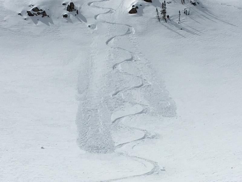
Photo showing layer of faceted snow, and the loose, faceted snow sluffing on steeper upper elevation northerly aspects.
Video discussing this layer of faceted snow.


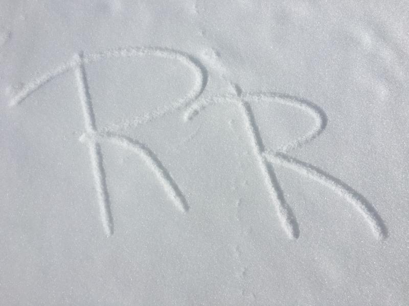
Cool snownerd moment - found radiation recrystallization (RR) on many solar aspects today. This is a thin layer (3-4mm) of facets sitting on top of a sun crust. RR forms when short-wave solar radiation penetrates the snow surface and warms the snow just underneath the surface, while the snow surface stays colder. Long-wave radiation (heat) is radiated back out to the sky, and this temperature gradient in the top 1-2 cms of snow has the effect of creating a crust just underneath the snow surface, while leaving a thin layer of facets on top.
We rarely see RR as a buried, persistent weak layer, but this past January 24 a slide on a steep aspect in Beartrap Fork in Big Cottonwood Canyon failed on what was likely a thin layer of RR. (Although it also could have been near-surface facets.*)
I do not expect this layer of RR to survive the warm temperatures and winds.
[EDIT: Radiation recrystallization (RR) is one of three possible processes that form near-surface facets. The other two are (1) diurnal recrystallization and (2) melt-layer recrystallization. This comment should have read "Although it also could have been near-surface facets from diurnal recrystallization." When I visited the site back in January, the weak layer was a thin layer of faceted snow sitting on top of a crust. This is a very likely scenario for finding RR. Although we often see RR on the snow surface of solar aspects during periods of high pressure, we don't typically see RR preserved underneath new snow as it often gets destroyed by wind and warm temperatures ahead of a storm. The January preserved layer of RR layer was unusual. (Although in the Wasatch we often do see preserved facets from diurnal recrystallization.) Regardless of the process, as evidenced by the slide in January, a buried layer of preserved faceted snow is never a good structure in a snowpack! ]

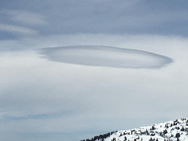
A welcoming sign of an impending storm. (Or a space ship with aliens.)


