Get Your Ticket to the 32nd Annual Backcountry Benefit on September 11th! Support Forecasting, Awareness, and Education

Observation Date
2/11/2017
Observer Name
Ted Scroggin
Region
Uintas » Bear River Ranger District » Whitney Basin
Location Name or Route
Whitney Basin-Double Hill
Weather
Sky
Overcast
Wind Direction
Southwest
Wind Speed
Calm
Weather Comments
Nice to see the new snow and cooler temperatures. The storm exited the area this morning, leaving a nice 8~10" of medium density snow. Overcast till mid~morning and some partial clearing on and off throughtout the afternoon.
Snow Characteristics
New Snow Depth
8"
New Snow Density
Medium
Snow Surface Conditions
Powder
Rain-Rime Crust
Snow Characteristics Comments
The mid and low elevations have damp snow underneath the new snow and at upper elevations mostly cold dry snow. Was surprised to find a rain crust below the new snow, nothing reactive while digging around, but might be something to keep an eye on?
Red Flags
Red Flags Comments
No red flags observed, but there has been lots of wind the last few days, but things seem to have settled out and are kind of glued in place. Some stubborn soft wind slabs that were very manageable today along the ridge lines.
Avalanche Problem #1
Problem
Wet Snow
Trend
Increasing Danger
Problem #1 Comments
Would anticipate the new snow to get a little active once it sees direct sun for the first time and starts to develop into more of a slab.
Avalanche Problem #2
Problem
Cornice
Trend
Increasing Danger
Problem #2 Comments
With warmer temperatures forecasted, the large cornices out there will become more tender and possibly breaking from the ridge lines.
Comments
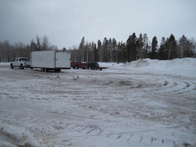
This was the conditions yesterday at the trailhead, with rain, standing water and tough going just to get around. What a difference 12 hrs can make with colder temperatures and 8" of snow.
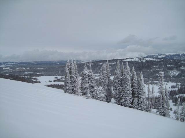
Nice and cool with some frosty trees up on the higher ridge lines and calm to light winds.
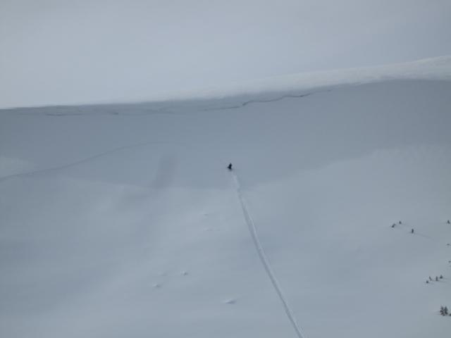
Mostly stable conditions today and riders were testing some steeper slopes.
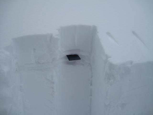
About 8" new snow in the Double Hill area and it is sitting on a rain crust from the warm and rainy day on Friday. Will need to watch and see how this crust plays out with warmer temps and the new snow developing into more of a slab?
Today's Observed Danger Rating
Moderate
Tomorrows Estimated Danger Rating
Moderate