Join us at our 2nd Annual Blizzard Ball

Observation: Summit Park

Observation Date
1/21/2017
Observer Name
mark white
Region
Salt Lake » Parleys Canyon » Summit Park
Location Name or Route
Summit Park
Weather
Sky
Obscured
Precipitation
Moderate Snowfall
Wind Direction
Southwest
Wind Speed
Moderate
Weather Comments
The sky was obsrurred most of the day with moderate snowfall and gusty winds on the ridge line.
Snow Characteristics
New Snow Depth
7"
New Snow Density
Low
Snow Surface Conditions
Powder
Red Flags
Red Flags
Wind Loading
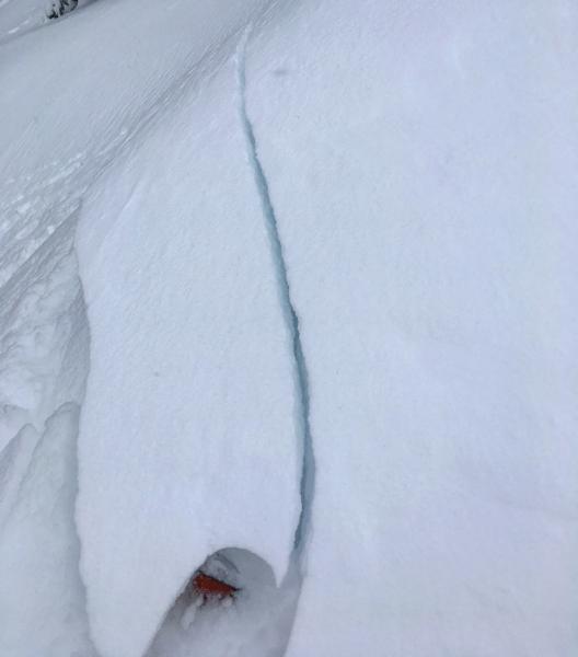
Cracking
Poor Snowpack Structure
Red Flags Comments
Haven't used the poor snowpack structure drop box in quite awhile but this is my first time to this area this year. There were multiple crust facets sandwiches in this thiner snowpack area.
Comments

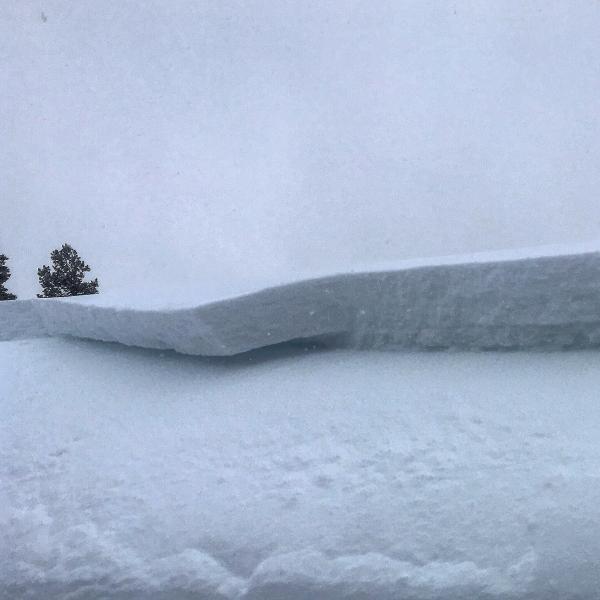
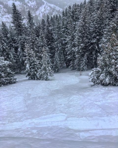
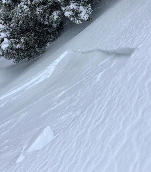
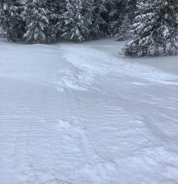
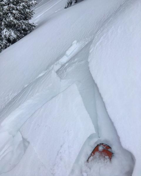
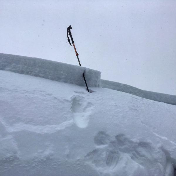
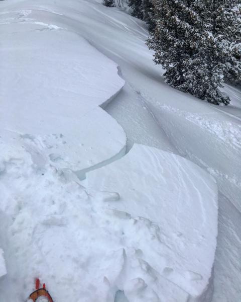
Spent some time up in Summit Park today and skied S, W, and N facing terrain. There was allot less snow in this area than than BCC or LCC but the same problem of buried NS facets exists. Triggered a few wind slabs on the upper ridge lines at about 9000ft, The largest one was about 10 to 12 inches deep, 60ft wide and ran 150ft down into the trees, the weak layer was buried facets sitting under a wind slab. The pockets we triggered were both remotely triggered from a distance and the new snow was quite sensitive. I figure this area has allot in common with Mt Aire, Lambs Canyon and Murdock Peak. I would think with more snow and wind the avalanches will increase in size and scope.

Crown and run out of the larger slide, a smaller remotely triggered slide, cracking in the new snow.
Today's Observed Danger Rating
Considerable
Tomorrows Estimated Danger Rating
Considerable