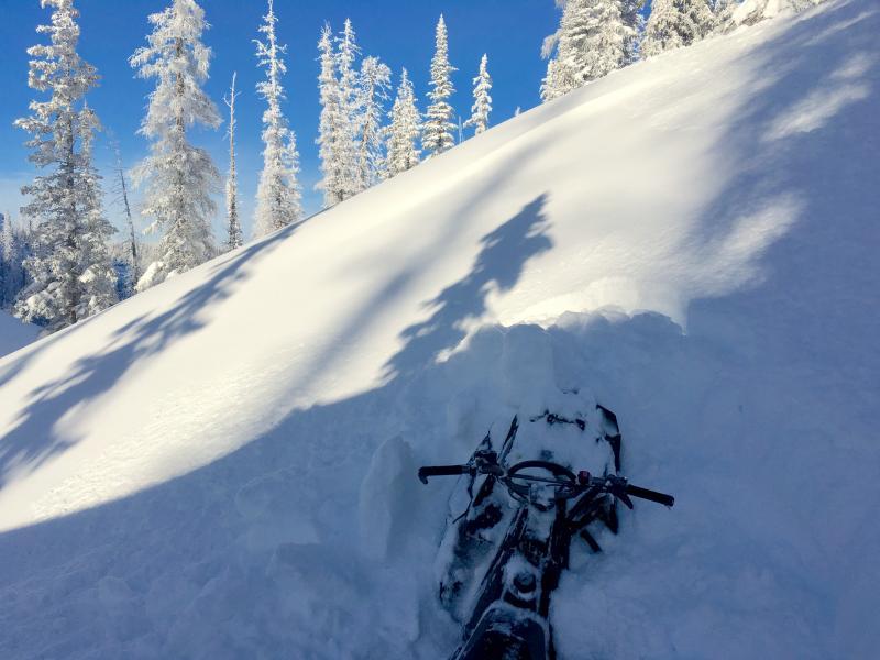
We found solid snow in all our snowpits. Since just before Thanksgiving, we've been getting a pretty steady stream of snow. This is evident in the snowpack. There are few layers and there aren't big hardness differences. It's hard to find weak layers. The main one was within the storm snow, but that layer was consolidating throughout the day.
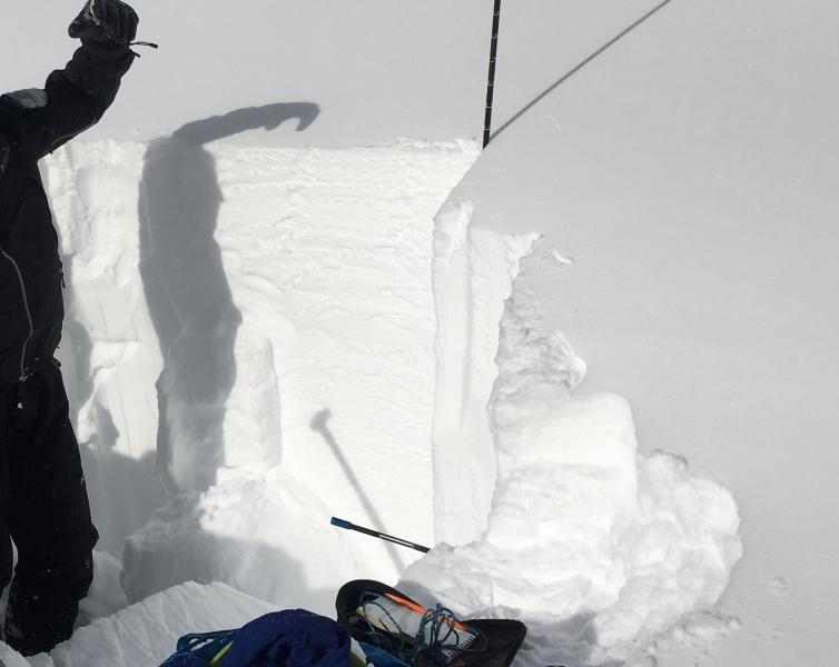
I was shocked to find 4 feet of snow on a SE aspect at 9800 feet. Test scores in this pit were all ECTN, which means in an Extended Column Test, layers would break, but the crack never propagated across the column of snow (a good sign). Coverage was incredible. See photo below from this snowpit.
HOWEVER, there is still weak faceted snow to be found near the ground. I would be nervous of any rocky area above treeline or parts of the range that are colder and generally have thinner snow. While the facets near the ground that I saw didn't look to bad, their very existence tells me that there are definitely places where they are weaker. With such a massive load of snow, I'd still be pretty nervous getting into avalanche terrain. If you trigger an avalanche, it could be deep and deadly.
We're off to a good start and the snowpack could become pretty stable if we are willing to be patient and wait for the danger to drop.
The day started with deep riding conditions, but the snow settled quickly and a wide open throttle wasn't necessary any more. Is there a snowmobile in the photo?
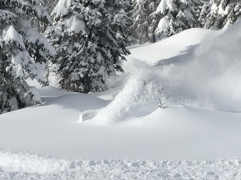
A good gauge of the coverage is the slope in this photo. It's a boulder field. You can still hit a rock or two if you aren't careful, but we haven't had a start to the season like this in many years.
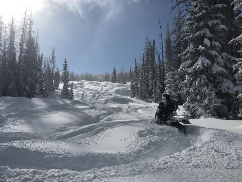
Even turbo sleds get stuck occasionally
