Observation: Cutler Ridge

Observation Date
12/17/2016
Observer Name
Mike H
Region
Ogden » Ben Lomond » Cutler Ridge
Location Name or Route
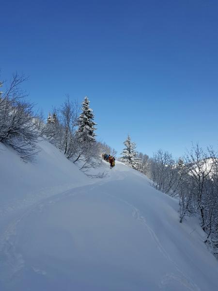
Cutler Ridge
Weather
Sky
Scattered
Wind Speed
Calm
Weather Comments
It was a cold day in the Ogden mountains. Temps were in the single digits. Staying lower on the mountains kept us out of pretty much all winds which at least kept us a little bit warmer.
Snow Characteristics
New Snow Depth
5"
New Snow Density
Low
Snow Surface Conditions
Powder
Wind Crust
Rain-Rime Crust
Snow Characteristics Comments

dust on crust out there today. Really 5- 8" of light fluffy snow on top of the rain crust that formed during the first half of the previous storm. Skiing was firm and fast.

Red Flags
Red Flags
Heavy Snowfall
Poor Snowpack Structure
Red Flags Comments
Everything beneath the rain crust is moist. Should freeze back up hopefully and at least make one solid base, but the rain crust will act as a vapor barrier potentially producing a new weak layer higher in the snowpack and more easily triggered potentially.
Avalanche Problem #1
Problem
Persistent Weak Layer
Trend
Same
Problem #1 Comments

Everything beneath the rain crust is moist. Should freeze back up hopefully and at least make one solid base, but the rain crust will act as a vapor barrier potentially producing a new weak layer higher in the snowpack and more easily triggered potentially.

Avalanche Problem #2
Problem
Wind Drifted Snow
Trend
Same
Problem #2 Comments

Still lots of snow available for transport. If our winds pick up we could see wind slabs forming more acitvely. Watch for winds over 12 miles an hour. Wind can transport snow 10x faster than it can fall.

Snow Profile
Comments

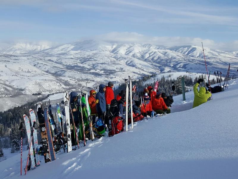
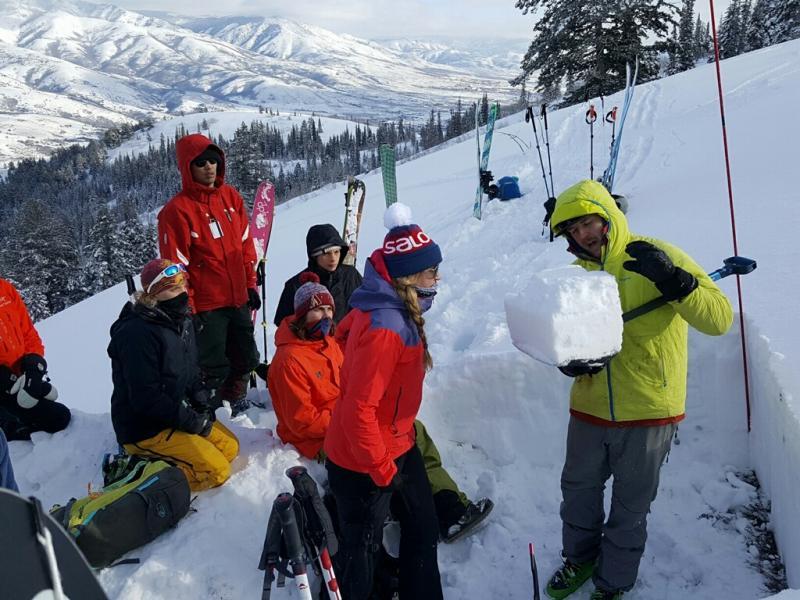
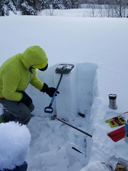
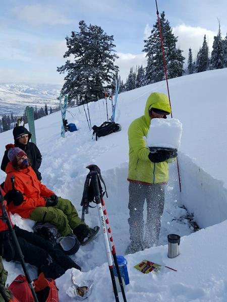
AIARE Level 1 Observation day.

Today's Observed Danger Rating
Considerable
Tomorrows Estimated Danger Rating
Moderate
Coordinates