Join us at our 2nd Annual Blizzard Ball

Observation: Days Fork

Observation Date
3/27/2016
Observer Name
Primomo
Region
Salt Lake » Big Cottonwood Canyon » Days Fork
Location Name or Route
Days Fork
Weather
Sky
Broken
Precipitation
Light Snowfall
Weather Comments
A disturbance passed over and some light flakes fell around noon, then clearing with wispy clouds. Stayed cool on ridgetops with light breeze.
Red Flags
Red Flags Comments
I noticed lots of up routes in somewhat unconventional places; Direct routes such as bootpacks up Oingo Boingo, skinners up steep N facing gullys below large cornices and the like. This type of travel is ok when conditions permit, and if you are up for taking more risk. I don't believe its good form though, and while this next storm comes through that mindset will have to change.
Avalanche Problem #1
Problem
Wet Snow
Problem #1 Comments

Possible to trigger WL while skiing the shoulder of Flagstaff around 2, but easily avoided by sticking to lower angle shoulder and not dropping into the steeper gully.

Snow Profile
Aspect
Northeast
Elevation
10,400'
Comments

Out powder guiding in the NPC, I took a moment to dig down to the early and mid March layers on N off the Two Dogs skinner, NNE at 10,400ft.

CTM PC x 2 down 20cm

CTH RP x1 down 40cm 1mm rounding facets above a thin MF crust.

CTH SC x1 down 45cm on slightly faceted 1-2mm graupel.

Both layers; 40cm and 45cm seem like they will be worth monitoring if we get over 1.5" of SWE out of this storm, though the surface will be the first suspect as upper snowpack is low density and dry on N'ly in many areas.

Photos: CT columns showing the failyer at 40cm down on R, 45cm down on L.

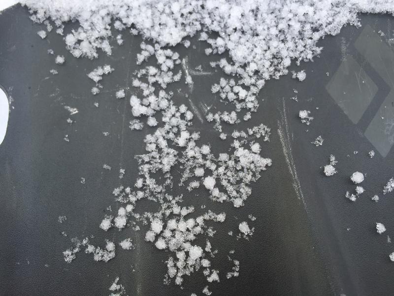
Preserved graupel at 45cm down.

High wispy clouds streaming in ahead of the storm.

Yours truly having a look see.

Today's Observed Danger Rating
Low
Tomorrows Estimated Danger Rating
Moderate
Coordinates