Fall Auction is now live! Check it out now

Observation: Cardiac Ridge

Observation Date
2/23/2016
Observer Name
Greg Gagne
Region
Salt Lake » Big Cottonwood Canyon » Cardiff Fork » Cardiac Ridge
Location Name or Route
Cardiff Fork / Cardiac Ridge
Weather
Sky
Clear
Wind Direction
East
Wind Speed
Light
Weather Comments
Just a whisper of wind out of the East. Cool temps in the morning.
Snow Characteristics
New Snow Depth
4"
New Snow Density
Low
Snow Surface Conditions
Powder
Wind Crust
Damp
Snow Characteristics Comments

About 5-15 cms (2-6") new in upper LCC/BCC. Very light density on the surface, with some SH as well. Exited about noon, and East was damp, and South beginning to dampen. Cool temps helped preserved the snow surface, but I suspect most aspects other than NW through NE will be crusted on Wednesday morning. Apart from a few tiny pockets near Cardiff Peak, no wind drifting noted at all.

I did not notice any wet point releases, but I suspect it became more active in the heat of the afternoon.

Few sluffs from ski cuts in very steep terrain.

Comments

"Ski it if it's white" conditions out there. Brett's green danger rose was spot on for Tuesday. Quick pits in the top 15-30 cms (6-12") showing no weaknesses. Unable to get any clean shears, and new snow was light density, not slabby, and seemed well bonded to old snow surface. The only "activity" I noted (apart from sluffs from ski cuts in very steep terrain) were some small point releases along Cardiac Ridge.

Concern going forward will be warming. The light density snow should be sensitive to any warming, but there simply isn't much new snow to create any sizeable wet sluffs or point releases. If you were to trigger something on solar aspects, any wet slides would be very easy to manage.

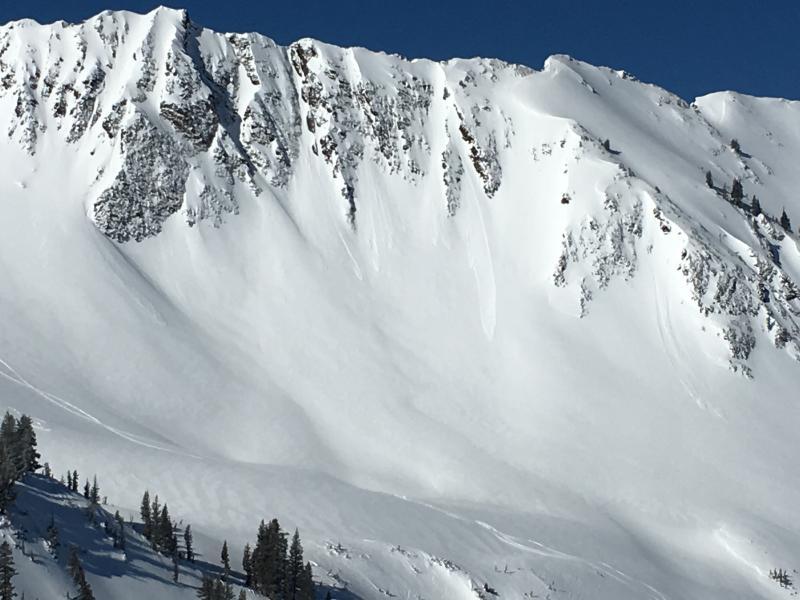
Photo showing loose sluffs from steep terrain along Cardiac Ridge.

Very fun & fast ski conditions with small amount of new snow on top of smooth and supportable surface.

Today's Observed Danger Rating
Low
Tomorrows Estimated Danger Rating
Low