Observation: North Ogden Divide

Observation Date
2/1/2016
Observer Name
Kory and Ben
Region
Ogden » North Ogden Canyon » North Ogden Divide
Location Name or Route
North Side of the Divide
Weather
Sky
Obscured
Precipitation
Light Snowfall
Wind Direction
East
Wind Speed
Moderate
Weather Comments
blustery day up on the ridge.
Snow Characteristics
New Snow Depth
1"
New Snow Density
Medium
Snow Surface Conditions
Powder
Wind Crust
Melt-Freeze Crust
Rain-Rime Crust
Red Flags
Red Flags
Wind Loading
Cracking
Poor Snowpack Structure
Avalanche Problem #1
Problem
Wind Drifted Snow
Trend
Increasing Danger
Problem #1 Comments

Wind slabs were small and isolated but in other places I bet they are more well conected.

Avalanche Problem #2
Problem
Persistent Weak Layer
Problem #2 Comments

As I have been saying I do not think in the Northern Wasatch we have any slopes that still have a deep persistent slab issue or the S aspect crust facet issue as the SLC mountains have. We do now have a few burried layers that are going to stay with us. I was able to find the Surface hoar layer again today. I think it is more widespread than most people thought due to the rain. I was on a E aspect at about 7200 ft. Had an ECTP11 SP(Sudden Planer) also ECTN12 and 11 on the same layer propagating about half way across the block. This just tells me that the slab is not fully formed yet. I am now very leery on traveling in steeper terrain with consequence here in the Northern Wasatch. I am not sure how widespread this problem is but I think it is out there more prevalent than people think.

Comments

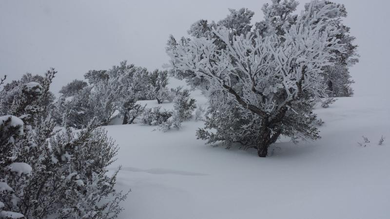
1. Serious rime from last night with SW winds though.

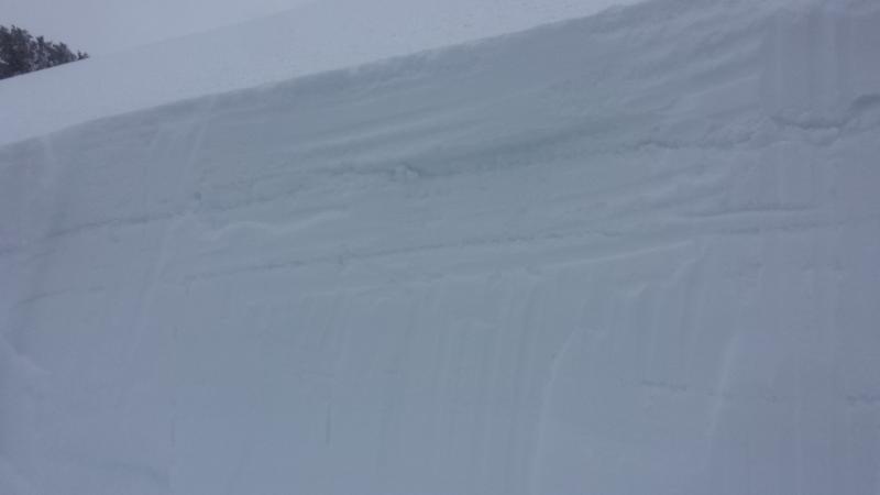
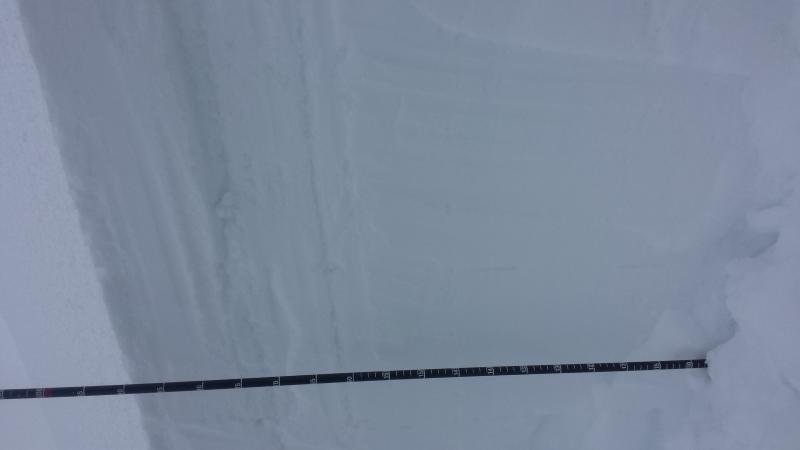
2. Prominent Rain layer and Surface hoar layer!!!

3.

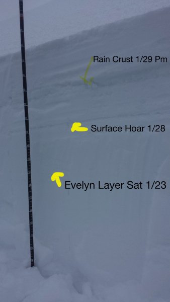
So these are our three prominent layers here in the Northern Wasatch. The lowest layer I am calling the Evelyn layer because we looked at it all day when she was here it is a graupel layer with a slick bed surface underneath. About 15 cm up from that we have the Surface hoar layer from Thursday. and about 10 cm above that we have our Rain crust from Friday Night. Than aprox 20 cm on that. I don't know how else to say it but we definitely now have a persistent issue in some places that we have not really had to deal with yet this year in the Northern Wasatch.

Video

I really am unsure about how widespread this Surface Hoar layer is. I know we will have Wind slabs tomorrow in unusual places. I am just not confident in any forecast with the new persistent layer.

Today's Observed Danger Rating
Considerable
Tomorrows Estimated Danger Rating
Considerable