


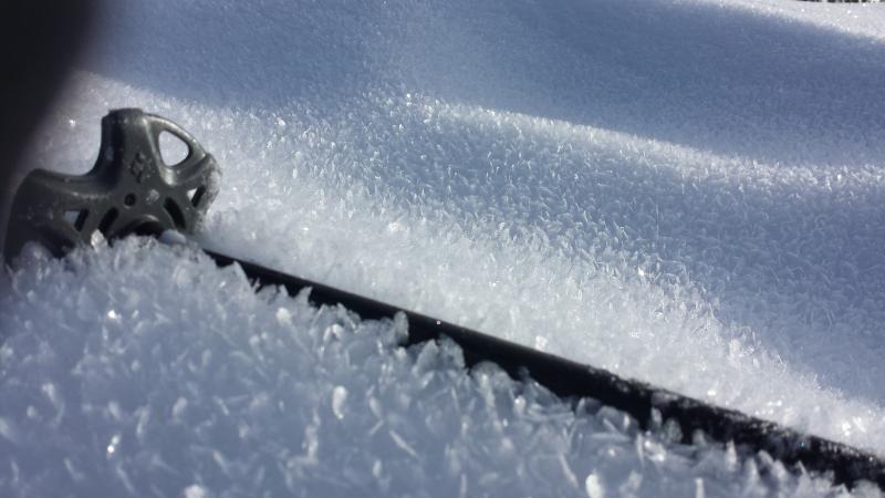
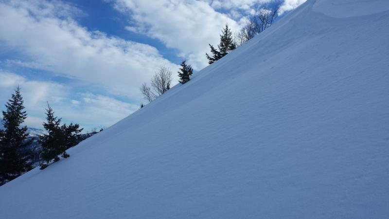
1. South Aspect on the Divide. Surface hoar is still present 2-4 mm. (not sure what it will do when frozen but I am guessing it will still be active?)
2. CT 14 ECTN16 This might be failing on a similar layer that the central Wasatch has been seeing.
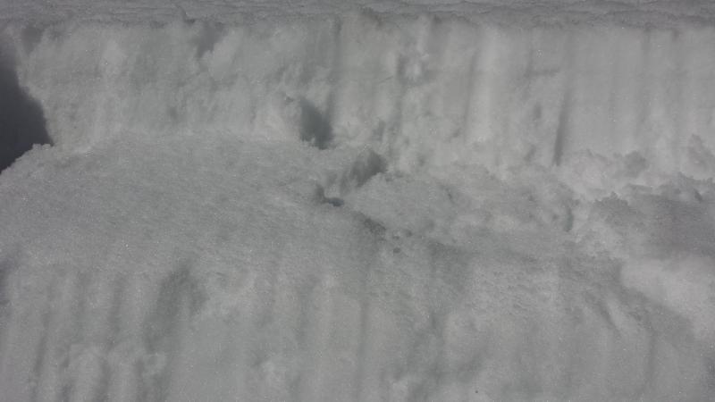
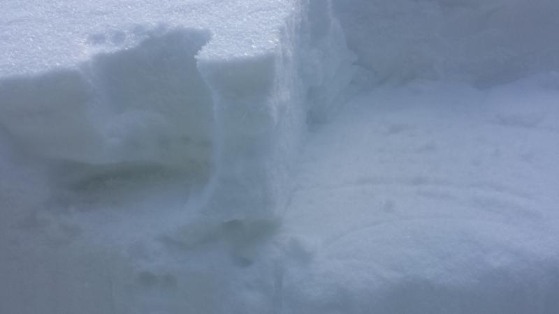
3. ENE top 60 cms. Very weak top 10 cms. Also slick surface underneath with some graupel intermixed on the slick layer.
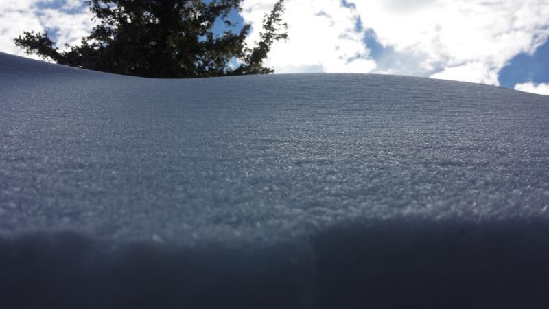
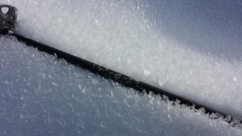
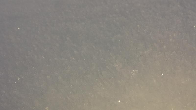
4. Snow Surface on ENE aspect. 2-3mm surface hoar.
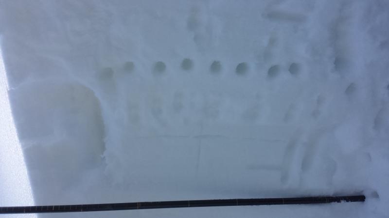
5. CT16 on the Graupel and slick ben surface. approximately 10 cms down.
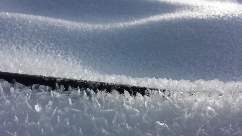
6,7,8 Surface hoar on near flat but some what NNE aspec t4-6mm
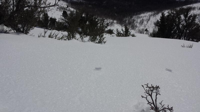

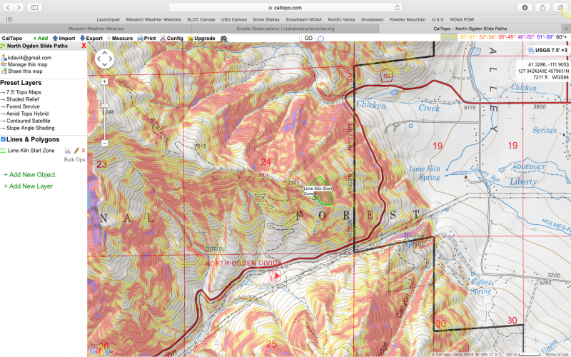
Lime Kiln Start Zone, Loose facet sluff. Fast long moving facets. Surface hoar in this area 2-4mm map to see the area I a was in.

No real avalanche problem today but I am sure with SWE totals in the high range even on the low end of the forecast 2in of water will really give our snow pack a whomp. If the rain line is high 7,500 to 8,000 this will help consolidate the Surface snow and will also give our lower layers a really good natural test. If snow levels are lower than predicted we could and probably see wide spread avalanching in the 10-20in depth. Jim Steenburgh (http://wasatchweatherweenies.blogspot.com) says "I'd probably lean toward a total of 1.25 to 2.5" at Alta-Collins by 5 PM Saturday. The northern Wasatch should get a pounding as well and I'd expect to see some big numbers from places like Ben Lomond Peak."