Observation Date
1/16/2016
Observer Name
Toddeo
Region
Salt Lake » Mill Creek Canyon » Yellow Jacket
Location Name or Route
Yellow Jacket Gulch
Weather
Sky
Obscured
Precipitation
Light Snowfall
Wind Direction
West
Wind Speed
Moderate
Weather Comments
Damp day, wind was light in the morning and picked up during the day. Felt a lot warmer in the afternoon, 1st lunch was chilly, lunches 2 and 3 were much warmer.
It felt like it could easily rime.
Snow Characteristics
New Snow Depth
4"
Snow Surface Conditions
Powder
Snow Characteristics Comments
4" new sitting on a variety of surfaces ranging from facets to crust. Some sluffing on aspects >35 degrees.nothing major. sluffing occurring mostly over wind board and facets.
Red Flags
Red Flags
Recent Avalanches
Wind Loading
Cracking
Poor Snowpack Structure
Red Flags Comments
Recent avalanches include a cornice fall on top of Toots to Boot, 8-12' thick slab but it only ran 10-15 feet or so. I released on minor 4" thick wind slab (10' wide) on 2nd run in Yellow Jacket, didn't run far, I would call this more of a cracking episode than an avalanche, minor.
Wind was transporting snow from about 12 pm on.
Poor snow pack structure included some really weak facets in Yellow Jacket, see profile below. ECTP 10, changed our travel plans for the day.
Avalanche Problem #1
Problem
Wind Drifted Snow
Trend
Increasing Danger
Problem #1 Comments
Wind slabs from increasing wind today, I would expect that the likelihood will increase with forecasted storm winds and dense snow.
Moderate hazard increasing to considerable if winds blow strong overnight.
Avalanche Problem #2
Problem
Persistent Weak Layer
Trend
Same
Problem #2 Comments
I was surprised how the ECTP 10 "popped" really easily, Not calling it a Q1 due to the rough non-planer break. The mid pack is strong but not as thick as I would prefer in this area.
Low to Moderate likelihood with the potential for considerable consequences (moderate X ?). We dug the pit on our 2nd run and were glad we avoided some of the steeper open meadows on our initial ascent.
Snow Profile
Aspect
Northwest
Elevation
9,600'
Slope Angle
33°
Comments
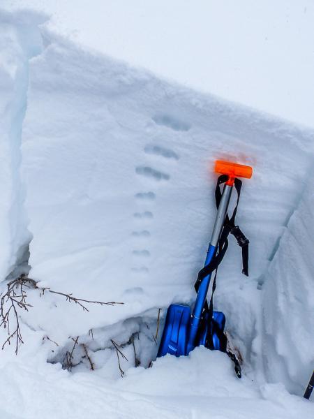
Photo of pit below, of note are really loose basal facets and strong 2-finger mid pack. I like the strength of the mid pack but feel there are plenty opportunities for booby traps lurking. I really don't feel good until I see 4-5 feet above basal facets.
Snow pack in this area is not that different than I have been seeing in SW Utah the last couple of weeks. Not used to seeing people in the woods and a lot less cougar tracks!
Overall danger, I would say moderate based on what I saw today but would anticipate considerable tomorrow.
Today's Observed Danger Rating
Considerable
Tomorrows Estimated Danger Rating
Considerable